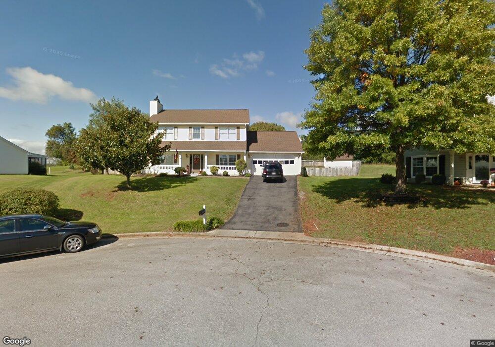
1886 Mulholland Cir Roanoke, VA 24012
Estimated Value: $389,296 - $429,000
3
Beds
3
Baths
1,892
Sq Ft
$214/Sq Ft
Est. Value
About This Home
This home is located at 1886 Mulholland Cir, Roanoke, VA 24012 and is currently estimated at $404,824, approximately $213 per square foot. 1886 Mulholland Cir is a home located in Roanoke County with nearby schools including Bonsack Elementary School, William Byrd Middle School, and William Byrd High School.
Ownership History
Date
Name
Owned For
Owner Type
Purchase Details
Closed on
Feb 17, 2022
Sold by
Rydberg Patricia A and Plantier Dawn M
Bought by
Stambaugh Stevan Richard and Tarver Nora Ellen
Current Estimated Value
Purchase Details
Closed on
May 31, 2011
Sold by
Divers Timothy D and Divers Stacy C
Bought by
Kincer William T
Home Financials for this Owner
Home Financials are based on the most recent Mortgage that was taken out on this home.
Original Mortgage
$185,000
Interest Rate
4.58%
Mortgage Type
New Conventional
Purchase Details
Closed on
Dec 6, 2005
Sold by
Thomas Mark S and Thomas Lisa A
Bought by
Divers Timothy D and Divers Stacy C
Home Financials for this Owner
Home Financials are based on the most recent Mortgage that was taken out on this home.
Original Mortgage
$187,100
Interest Rate
6.12%
Mortgage Type
New Conventional
Create a Home Valuation Report for This Property
The Home Valuation Report is an in-depth analysis detailing your home's value as well as a comparison with similar homes in the area
Home Values in the Area
Average Home Value in this Area
Purchase History
| Date | Buyer | Sale Price | Title Company |
|---|---|---|---|
| Stambaugh Stevan Richard | $391,750 | Virginia Title Center | |
| Kincer William T | $215,000 | Colonial Title & Settlement | |
| Divers Timothy D | $208,000 | None Available |
Source: Public Records
Mortgage History
| Date | Status | Borrower | Loan Amount |
|---|---|---|---|
| Previous Owner | Kincer William T | $185,000 | |
| Previous Owner | Divers Timothy D | $187,100 |
Source: Public Records
Tax History Compared to Growth
Tax History
| Year | Tax Paid | Tax Assessment Tax Assessment Total Assessment is a certain percentage of the fair market value that is determined by local assessors to be the total taxable value of land and additions on the property. | Land | Improvement |
|---|---|---|---|---|
| 2025 | $3,365 | $326,700 | $59,000 | $267,700 |
| 2024 | $3,230 | $310,600 | $54,000 | $256,600 |
| 2023 | $3,186 | $300,600 | $54,000 | $246,600 |
| 2022 | $2,734 | $250,800 | $49,000 | $201,800 |
| 2021 | $2,506 | $229,900 | $45,000 | $184,900 |
| 2020 | $2,322 | $213,000 | $40,000 | $173,000 |
| 2019 | $2,249 | $206,300 | $39,000 | $167,300 |
| 2018 | $2,152 | $202,700 | $39,000 | $163,700 |
| 2017 | $2,152 | $197,400 | $39,000 | $158,400 |
| 2016 | $2,103 | $192,900 | $38,000 | $154,900 |
| 2015 | $2,068 | $189,700 | $38,000 | $151,700 |
| 2014 | $2,028 | $186,100 | $36,000 | $150,100 |
Source: Public Records
Map
Nearby Homes
- 1802 W Ruritan Rd
- 1713 Ashbury Ct
- 0 E Ruritan Rd
- 2414 Carlsbad Cir
- 1944 W Ruritan Rd
- 4127 Mockingbird Hill Rd
- 1971 W Ruritan Rd
- 1525 W Ruritan Rd
- 2020 Ruritan Rd
- 2910 Mystique Ct
- 2054 Ruritan Rd
- 2206 Coachman Dr
- 5018 Carter Grove Ln
- 5114 Huntridge Rd
- 2826 Greggin Dr
- 2441 Coachman Dr
- 6119 Wisteria Place Ct
- 6110 Wisteria Place Ct
- 5508 Rome Dr
- 5679 Huntridge Rd
- 1905 Bloomfield Ave
- 1880 Mulholland Cir
- 1915 Bloomfield Ave
- 1891 Mulholland Cir
- 1937 Middle Valley Dr
- 1885 Mulholland Cir
- 1921 Bloomfield Ave
- 1909 High Crest Ct
- 1804 W Ruritan Rd
- 1806 W Ruritan Rd
- 1951 Middle Valley Dr
- 1831 Bloomfield Ave
- 1800 W Ruritan Rd
- 1808 W Ruritan Rd
- 1927 Bloomfield Ave
- 1910 High Crest Ct
- 1838 W Ruritan Rd
- 1825 Bloomfield Ave
- 1919 High Crest Ct
- 1933 Bloomfield Ave