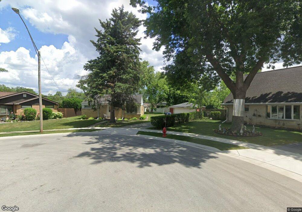
1886 Paula Ln Des Plaines, IL 60018
Estimated Value: $357,000 - $420,000
2
Beds
3
Baths
1,251
Sq Ft
$304/Sq Ft
Est. Value
About This Home
This home is located at 1886 Paula Ln, Des Plaines, IL 60018 and is currently estimated at $380,697, approximately $304 per square foot. 1886 Paula Ln is a home located in Cook County with nearby schools including Orchard Place Elementary School, Algonquin Middle School, and Maine West High School.
Ownership History
Date
Name
Owned For
Owner Type
Purchase Details
Closed on
Jul 11, 2007
Sold by
Canon Yaro Barsoum and Canon Yaro Julie
Bought by
Yaro Julie Canon
Current Estimated Value
Home Financials for this Owner
Home Financials are based on the most recent Mortgage that was taken out on this home.
Original Mortgage
$242,000
Outstanding Balance
$151,087
Interest Rate
6.75%
Mortgage Type
New Conventional
Estimated Equity
$229,610
Purchase Details
Closed on
Aug 29, 1994
Sold by
Rudy Laurence and Rudy Vivian
Bought by
Canon Yaro Barsum and Canon Yaro Julie
Home Financials for this Owner
Home Financials are based on the most recent Mortgage that was taken out on this home.
Original Mortgage
$130,600
Interest Rate
6.5%
Create a Home Valuation Report for This Property
The Home Valuation Report is an in-depth analysis detailing your home's value as well as a comparison with similar homes in the area
Home Values in the Area
Average Home Value in this Area
Purchase History
| Date | Buyer | Sale Price | Title Company |
|---|---|---|---|
| Yaro Julie Canon | -- | Republic Title Company | |
| Canon Yaro Barsum | $137,500 | -- |
Source: Public Records
Mortgage History
| Date | Status | Borrower | Loan Amount |
|---|---|---|---|
| Open | Yaro Julie Canon | $242,000 | |
| Closed | Canon Yaro Barsum | $130,600 |
Source: Public Records
Tax History
| Year | Tax Paid | Tax Assessment Tax Assessment Total Assessment is a certain percentage of the fair market value that is determined by local assessors to be the total taxable value of land and additions on the property. | Land | Improvement |
|---|---|---|---|---|
| 2025 | $5,849 | $32,000 | $14,146 | $17,854 |
| 2024 | $5,849 | $25,500 | $11,789 | $13,711 |
| 2023 | $5,681 | $25,500 | $11,789 | $13,711 |
| 2022 | $5,681 | $25,500 | $11,789 | $13,711 |
| 2021 | $5,542 | $21,360 | $9,823 | $11,537 |
| 2020 | $5,517 | $21,360 | $9,823 | $11,537 |
| 2019 | $5,536 | $24,000 | $9,823 | $14,177 |
| 2018 | $4,539 | $18,614 | $8,644 | $9,970 |
| 2017 | $4,477 | $18,614 | $8,644 | $9,970 |
| 2016 | $4,479 | $18,614 | $8,644 | $9,970 |
| 2015 | $4,811 | $18,537 | $7,466 | $11,071 |
| 2014 | $4,726 | $18,537 | $7,466 | $11,071 |
| 2013 | $5,006 | $19,976 | $7,466 | $12,510 |
Source: Public Records
Map
Nearby Homes
- 2609 Eisenhower Dr
- 2600 S Scott St
- 2646 Maple St
- 1939 E Touhy Ave
- 1757 Farwell Ave
- 1641 E Touhy Ave
- 1629 E Touhy Ave
- 2993 Curtis St
- 2945 S Scott St
- 2124 Halsey Dr
- 38 E Touhy Ave
- 3051 S Scott St
- 3111 Stillwell Dr
- 2220 S Chestnut St
- 1370 Fargo Ave Unit E
- 1721 Prospect Ave
- 500 Thames Pkwy Unit 1F
- 200 Thames Pkwy Unit 1
- 201 Thames Pkwy Unit 2F
- 201 Thames Pkwy Unit 2K
- 1885 Paula Ln
- 1876 Paula Ln
- 1925 Laura Ln
- 1931 Laura Ln
- 1917 Laura Ln
- 2610 Eisenhower Dr
- 2604 Eisenhower Dr
- 2616 Eisenhower Dr
- 1905 Laura Ln
- 1935 Laura Ln
- 1881 Paula Ln
- 1941 Laura Ln
- 2626 Eisenhower Dr
- 1806 Paula Ln
- 2636 Eisenhower Dr
- 2629 Paula Ln
- 1945 Laura Ln
- 2650 Eisenhower Dr
- 1908 Morse Ave
- 2647 Paula Ln