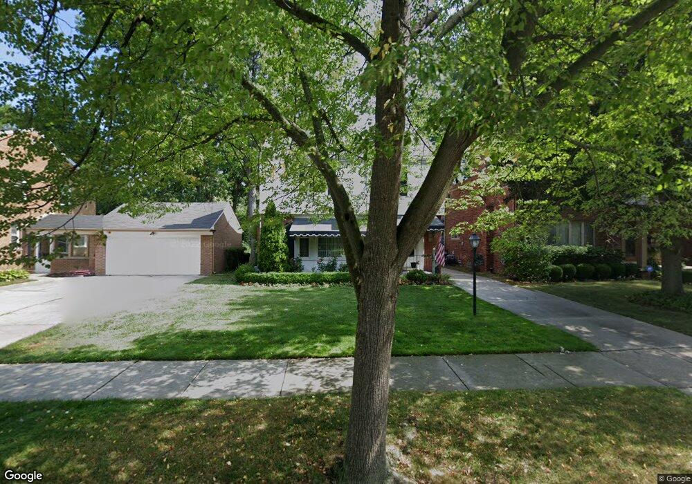
1886 Prestwick Rd Grosse Pointe Woods, MI 48236
Estimated Value: $371,323 - $433,000
3
Beds
3
Baths
2,520
Sq Ft
$157/Sq Ft
Est. Value
About This Home
This home is located at 1886 Prestwick Rd, Grosse Pointe Woods, MI 48236 and is currently estimated at $396,581, approximately $157 per square foot. 1886 Prestwick Rd is a home located in Wayne County with nearby schools including John Monteith Elementary School, Brownell Middle School, and Grosse Pointe North High School.
Ownership History
Date
Name
Owned For
Owner Type
Purchase Details
Closed on
Dec 7, 2007
Sold by
Schmitt James F and Schmitt Patricia A
Bought by
Herd Joseph B
Current Estimated Value
Purchase Details
Closed on
Apr 9, 2004
Sold by
Schmitt James F and Schmitt Patricia A
Bought by
Schmitt James F
Create a Home Valuation Report for This Property
The Home Valuation Report is an in-depth analysis detailing your home's value as well as a comparison with similar homes in the area
Home Values in the Area
Average Home Value in this Area
Purchase History
| Date | Buyer | Sale Price | Title Company |
|---|---|---|---|
| Herd Joseph B | $199,500 | Multiple | |
| Schmitt James F | -- | -- |
Source: Public Records
Tax History
| Year | Tax Paid | Tax Assessment Tax Assessment Total Assessment is a certain percentage of the fair market value that is determined by local assessors to be the total taxable value of land and additions on the property. | Land | Improvement |
|---|---|---|---|---|
| 2025 | $3,589 | $192,600 | $0 | $0 |
| 2024 | $3,572 | $181,600 | $0 | $0 |
| 2023 | $3,435 | $162,300 | $0 | $0 |
| 2022 | $5,381 | $148,900 | $0 | $0 |
| 2021 | $5,129 | $149,600 | $0 | $0 |
| 2020 | $5,281 | $145,300 | $0 | $0 |
| 2019 | $3,127 | $133,200 | $0 | $0 |
| 2018 | $3,073 | $114,500 | $0 | $0 |
| 2017 | $3,571 | $111,100 | $0 | $0 |
| 2016 | $4,869 | $109,000 | $0 | $0 |
| 2015 | $8,439 | $105,600 | $0 | $0 |
| 2013 | $8,150 | $83,100 | $0 | $0 |
| 2012 | -- | $90,200 | $27,300 | $62,900 |
Source: Public Records
Map
Nearby Homes
- 21741 Bournemouth St
- 21602 Newcastle Rd
- 21440 Prestwick Ave
- 19299 Raymond St
- 1971 Littlestone Rd
- 1912 Littlestone Rd
- 19217 Linville St
- 19196 Berden St
- 21315 Prestwick Ave
- 21228 Newcastle Rd
- 1843 Manchester Blvd
- 431 Colonial Ct
- 21756 Moross Rd
- 21820 Moross Rd
- 21970 Moross Rd
- 463 Elizabeth Ct
- 20946 Littlestone Rd
- 22200 Moross Rd
- 5228 Hillcrest St
- 5273 Hillcrest St
- 1902 Prestwick Rd
- 1908 Prestwick Rd
- 1912 Prestwick Rd
- 1870 Prestwick Rd
- 1916 Prestwick Rd
- 21732 Prestwick Ave
- 21722 Prestwick Ave
- 1879 Prestwick Rd
- 1862 Prestwick Rd
- 21712 Prestwick Ave
- 1885 Severn Rd
- 1877 Severn Rd
- 21702 Prestwick Ave
- 1863 Prestwick Rd
- 1901 Severn Rd
- 1854 Prestwick Rd
- 1869 Severn Rd Unit Bldg-Unit
- 1869 Severn Rd
- 1913 Severn Rd
- 1861 Severn Rd
Your Personal Tour Guide
Ask me questions while you tour the home.