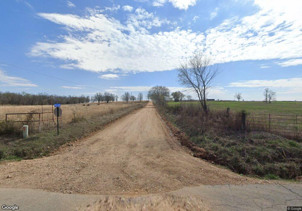
18866 Highway 82c Tahlequah, OK 74464
Estimated Value: $266,363 - $429,000
3
Beds
3
Baths
1,596
Sq Ft
$199/Sq Ft
Est. Value
About This Home
This home is located at 18866 Highway 82c, Tahlequah, OK 74464 and is currently estimated at $317,341, approximately $198 per square foot. 18866 Highway 82c is a home located in Cherokee County with nearby schools including Lowrey School.
Ownership History
Date
Name
Owned For
Owner Type
Purchase Details
Closed on
Sep 12, 2008
Sold by
Robinson Earl L and Harper Carol A
Bought by
Noll Richard J
Current Estimated Value
Home Financials for this Owner
Home Financials are based on the most recent Mortgage that was taken out on this home.
Original Mortgage
$139,587
Outstanding Balance
$92,821
Interest Rate
6.6%
Mortgage Type
FHA
Estimated Equity
$224,520
Purchase Details
Closed on
Jun 1, 2005
Sold by
Rhodes Jackie L and Rhodes Bonnie
Bought by
Robinson Earl L and Harper Carol A
Home Financials for this Owner
Home Financials are based on the most recent Mortgage that was taken out on this home.
Original Mortgage
$125,000
Interest Rate
5.83%
Mortgage Type
New Conventional
Purchase Details
Closed on
May 13, 1994
Sold by
Betty Rose Boyle
Bought by
Jackie and Bonnie Rhodes
Create a Home Valuation Report for This Property
The Home Valuation Report is an in-depth analysis detailing your home's value as well as a comparison with similar homes in the area
Home Values in the Area
Average Home Value in this Area
Purchase History
| Date | Buyer | Sale Price | Title Company |
|---|---|---|---|
| Noll Richard J | $140,000 | None Available | |
| Robinson Earl L | $41,666 | American Eagie Title Insuran | |
| Jackie | $91,500 | -- |
Source: Public Records
Mortgage History
| Date | Status | Borrower | Loan Amount |
|---|---|---|---|
| Open | Noll Richard J | $139,587 | |
| Previous Owner | Robinson Earl L | $125,000 |
Source: Public Records
Tax History Compared to Growth
Tax History
| Year | Tax Paid | Tax Assessment Tax Assessment Total Assessment is a certain percentage of the fair market value that is determined by local assessors to be the total taxable value of land and additions on the property. | Land | Improvement |
|---|---|---|---|---|
| 2025 | $1,282 | $16,773 | $3,959 | $12,814 |
| 2024 | $1,234 | $15,974 | $3,770 | $12,204 |
| 2023 | $1,234 | $15,213 | $2,750 | $12,463 |
| 2022 | $1,240 | $15,808 | $2,420 | $13,388 |
| 2021 | $1,234 | $15,808 | $2,420 | $13,388 |
| 2020 | $1,102 | $15,401 | $2,358 | $13,043 |
| 2019 | $1,169 | $14,668 | $2,246 | $12,422 |
| 2018 | $1,119 | $13,970 | $2,139 | $11,831 |
| 2017 | $1,077 | $13,304 | $287 | $13,017 |
| 2016 | $1,030 | $12,671 | $287 | $12,384 |
| 2015 | $839 | $12,067 | $287 | $11,780 |
| 2014 | $839 | $12,067 | $287 | $11,780 |
Source: Public Records
Map
Nearby Homes
- 8195 Hwy 82 A
- 0 N 510 Rd Unit 2543283
- 0 N 510 Rd Unit 2543284
- 0 N 510 Rd Unit 2543190
- 0 N 510 Rd Unit 2547590
- 0 N 510 Rd Unit 2543294
- 0 N 510 Rd Unit 2543293
- 0 N 510 Rd Unit 2546232
- 0 N 510 Rd Unit 2543297
- 00000 E 660 Rd
- 16246 E 647 Rd
- 8119 N 544 Rd
- 9133 Oklahoma 10
- 17844 E 688 Rd
- 7002 N 559 Rd
- 11077 N Elm Grove Rd
- 7373 N 485 Rd
- 11457 N 510 Rd
- 4422 Highway 82a
- 14000 Highway 82c
- 18816 Highway 82c
- 18800 Highway 82c
- 7989 Highway 82a
- 18946 Highway 82c
- 18803 Highway 82c
- 18907 Hwy 82 C
- 7926 Highway 82a
- 7940 Highway 82a
- 18660 Highway 82c
- 8062 Highway 82a
- 8181 Highway 82a
- 8084 Highway 82a
- 8190 Highway 82a
- 8190 Hwy 82 A
- 8150 Highway 82a
- 0000 E 660 Rd
- 8195 Highway 82a
- 8269 Highway 82a
- 8269 Highway 82a
