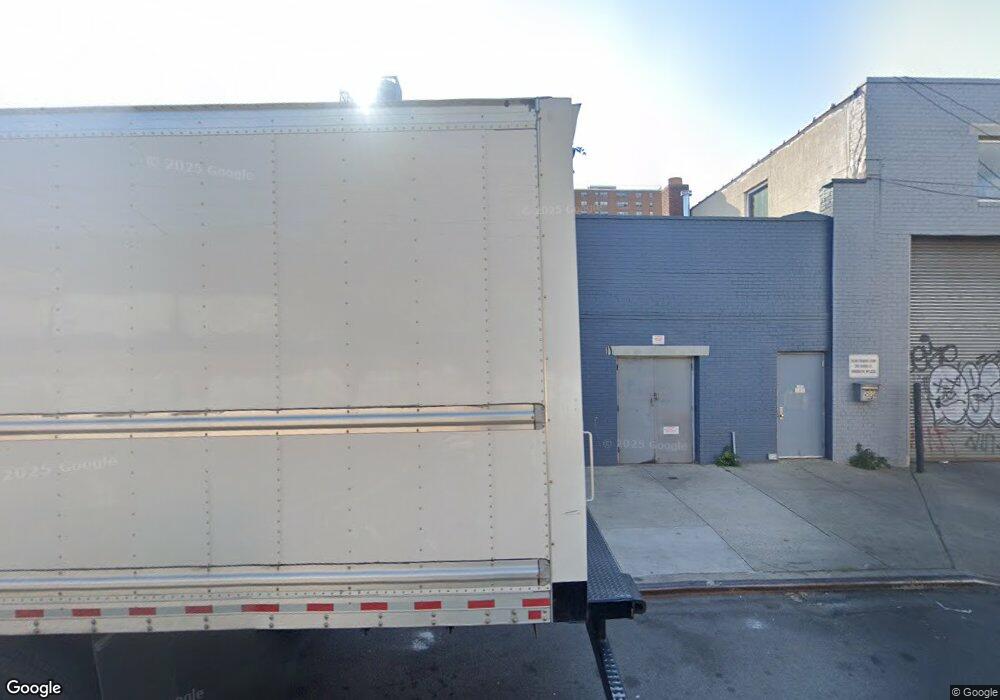
1888 Pitkin Ave Brooklyn, NY 11212
Brownsville Neighborhood
--
Bed
--
Bath
8,300
Sq Ft
1.43
Acres
About This Home
This home is located at 1888 Pitkin Ave, Brooklyn, NY 11212. 1888 Pitkin Ave is a home located in Kings County with nearby schools including J.H.S 292 Margaret S. Douglas, Brownsville Collegiate Charter School, and Uncommon Schools Leadership Preparatory Ocean Hill Charter School.
Ownership History
Date
Name
Owned For
Owner Type
Purchase Details
Closed on
Dec 30, 2020
Sold by
Gershowitz Sam
Bought by
Bertuccio Joseph and Elliot Gershowitz Trustee
Purchase Details
Closed on
Feb 13, 2001
Sold by
Lieberman Koren Corp
Bought by
Gershow Recycling Of Brooklyn Inc
Home Financials for this Owner
Home Financials are based on the most recent Mortgage that was taken out on this home.
Original Mortgage
$600,000
Outstanding Balance
$214,295
Interest Rate
6.93%
Mortgage Type
Seller Take Back
Create a Home Valuation Report for This Property
The Home Valuation Report is an in-depth analysis detailing your home's value as well as a comparison with similar homes in the area
Home Values in the Area
Average Home Value in this Area
Purchase History
| Date | Buyer | Sale Price | Title Company |
|---|---|---|---|
| Bertuccio Joseph | -- | -- | |
| Gershow Recycling Of Brooklyn Inc | $1,925,000 | -- |
Source: Public Records
Mortgage History
| Date | Status | Borrower | Loan Amount |
|---|---|---|---|
| Open | Gershow Recycling Of Brooklyn Inc | $600,000 |
Source: Public Records
Tax History Compared to Growth
Tax History
| Year | Tax Paid | Tax Assessment Tax Assessment Total Assessment is a certain percentage of the fair market value that is determined by local assessors to be the total taxable value of land and additions on the property. | Land | Improvement |
|---|---|---|---|---|
| 2025 | $60,686 | $643,500 | $436,500 | $207,000 |
| 2024 | $60,686 | $658,800 | $436,500 | $222,300 |
| 2023 | $58,629 | $605,250 | $436,500 | $168,750 |
| 2022 | $57,680 | $553,050 | $436,500 | $116,550 |
| 2021 | $52,695 | $492,750 | $436,500 | $56,250 |
| 2020 | $28,560 | $547,650 | $372,600 | $175,050 |
| 2019 | $52,517 | $547,650 | $372,600 | $175,050 |
| 2018 | $52,538 | $533,250 | $372,600 | $160,650 |
| 2017 | $45,551 | $526,950 | $372,600 | $154,350 |
| 2016 | $41,367 | $469,350 | $372,600 | $96,750 |
| 2015 | $15,866 | $420,300 | $372,600 | $47,700 |
| 2014 | $15,866 | $414,000 | $372,600 | $41,400 |
Source: Public Records
Map
Nearby Homes
- 105 Belmont Ave
- 101 Belmont Ave
- 297 Hinsdale St
- 1782 Pitkin Ave
- 440 Blake Ave
- 117 Osborn St
- 45 Hinsdale St
- 22 Hinsdale St
- 1719 E New York Ave
- 406 Hinsdale St
- 297 Pennsylvania Ave
- 34&36 Marginal St
- 317 Pennsylvania Ave
- 637 Blake Ave
- 2358 Pacific St
- 353 Pennsylvania Ave
- 2370 Atlantic Ave
- 343 Rockaway Ave
- 663 Sutter Ave
- 548 Rockaway Ave
- 188-202 Junius St
- 1886 Pitkin Ave
- 204 Junius St
- 185 Powell St
- 187 Powell St
- 1876 Pitkin Ave
- 257 van Sinderen Ave
- 181 Powell St
- 205 Powell St
- 199 Powell St
- 283 van Sinderen Ave
- 179 Powell St
- 1868 Pitkin Ave
- 1885 Pitkin Ave
- 209 Powell St
- 219 Junius St
- 220-228 Junius St
- 1864 Pitkin Ave
- 1922-1926 Pitkin Ave
- 216 Snediker Ave