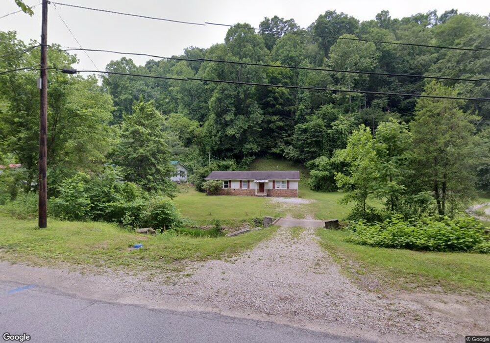
1888 Trace Fork Rd South Charleston, WV 25309
Estimated Value: $171,817 - $184,000
3
Beds
2
Baths
1,244
Sq Ft
$143/Sq Ft
Est. Value
About This Home
This home is located at 1888 Trace Fork Rd, South Charleston, WV 25309 and is currently estimated at $177,954, approximately $143 per square foot. 1888 Trace Fork Rd is a home located in Kanawha County with nearby schools including Ruthlawn Elementary School, South Charleston Middle School, and George Washington High School.
Ownership History
Date
Name
Owned For
Owner Type
Purchase Details
Closed on
Apr 11, 2001
Sold by
Dunst Thomas
Bought by
Myers Matthew
Current Estimated Value
Home Financials for this Owner
Home Financials are based on the most recent Mortgage that was taken out on this home.
Original Mortgage
$83,077
Outstanding Balance
$30,352
Interest Rate
6.9%
Mortgage Type
Purchase Money Mortgage
Estimated Equity
$147,602
Create a Home Valuation Report for This Property
The Home Valuation Report is an in-depth analysis detailing your home's value as well as a comparison with similar homes in the area
Home Values in the Area
Average Home Value in this Area
Purchase History
| Date | Buyer | Sale Price | Title Company |
|---|---|---|---|
| Myers Matthew | $84,000 | -- |
Source: Public Records
Mortgage History
| Date | Status | Borrower | Loan Amount |
|---|---|---|---|
| Open | Myers Matthew | $83,077 |
Source: Public Records
Tax History Compared to Growth
Tax History
| Year | Tax Paid | Tax Assessment Tax Assessment Total Assessment is a certain percentage of the fair market value that is determined by local assessors to be the total taxable value of land and additions on the property. | Land | Improvement |
|---|---|---|---|---|
| 2024 | $1,492 | $59,400 | $11,460 | $47,940 |
| 2023 | $1,420 | $56,340 | $11,460 | $44,880 |
| 2022 | $679 | $53,880 | $11,460 | $42,420 |
| 2021 | $589 | $46,740 | $11,460 | $35,280 |
| 2020 | $596 | $47,340 | $11,460 | $35,880 |
| 2019 | $596 | $47,340 | $11,460 | $35,880 |
| 2018 | $537 | $47,940 | $11,460 | $36,480 |
| 2017 | $538 | $47,940 | $11,460 | $36,480 |
| 2016 | $547 | $48,660 | $11,460 | $37,200 |
| 2015 | $546 | $48,660 | $11,460 | $37,200 |
| 2014 | $538 | $48,720 | $11,460 | $37,260 |
Source: Public Records
Map
Nearby Homes
- 48 William Ln
- 0 Terry Rd
- 38 Coventry Ridge
- 312 William Ln
- 0 Chestnut Rd
- 0 Crooked Creek Rd Unit 278261
- 0 Newcomer Rd
- 1314 & 1314-1/2 Chestnut St
- 223 Pleasant Valley Dr
- 712 Childress Rd
- 53 Lively Rd
- 2215 Chestnut St
- 85 Capaci Dr
- Lot 34 & 36 Double Eagle Dr
- 20 Double Eagle Dr
- 18 Double Eagle Dr
- 1072 Berry Hills Dr
- 1061 Garden Heights Dr
- 630 Wynterhall Ln
- 2300 Scarberry Ln
- 1904 Trace Fork Rd
- 364 Rr 8
- 1930 Trace Fork Rd
- 1962 Trace Fork Rd
- 1798 Trace Fork Rd
- 1984 Trace Fork Rd
- 1754 Trace Fork Rd
- 1754 Trace Fork Rd
- 304 Starcher Ln
- 365 Rabel Mountain Rd
- 4604 Rabel Mountain Rd
- 1718 Trace Fork Rd
- 1738 Trace Fork Rd
- 52 Corns Dr
- 1735 Trace Fork Rd
- 90 Corns Dr
- 326 Trace Fork Rd
- 326A Trace Fork Rd
- 328A Trace Fork Rd
- 2017 Trace Fork Rd