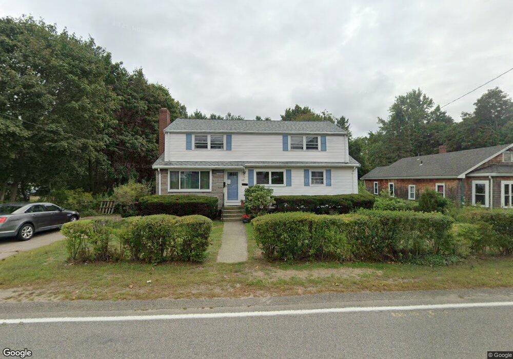
189 Allen St Randolph, MA 02368
Downtown Randolph NeighborhoodEstimated Value: $607,449 - $697,000
4
Beds
2
Baths
2,210
Sq Ft
$288/Sq Ft
Est. Value
About This Home
This home is located at 189 Allen St, Randolph, MA 02368 and is currently estimated at $636,612, approximately $288 per square foot. 189 Allen St is a home located in Norfolk County with nearby schools including Randolph High School, Boston Higashi School, and Lighthouse Baptist Christian Academy.
Ownership History
Date
Name
Owned For
Owner Type
Purchase Details
Closed on
Sep 12, 2023
Sold by
Kennally James R
Bought by
Kennally James R and Kennally Linda J
Current Estimated Value
Purchase Details
Closed on
Nov 19, 2021
Sold by
Kennally James R and Kennally Linda J
Bought by
Kennally James R
Purchase Details
Closed on
Sep 21, 2020
Sold by
Kennally James R
Bought by
Kennally James R and Kennally Linda J
Purchase Details
Closed on
Jun 19, 2020
Sold by
Kennally James R and Kennally Linda J
Bought by
Kennally James R
Purchase Details
Closed on
May 10, 2018
Sold by
Kennally 3Rd James R
Bought by
Kennally 3Rd James R and Kennally Linda J
Purchase Details
Closed on
Mar 21, 1983
Bought by
Kennally James R
Create a Home Valuation Report for This Property
The Home Valuation Report is an in-depth analysis detailing your home's value as well as a comparison with similar homes in the area
Home Values in the Area
Average Home Value in this Area
Purchase History
| Date | Buyer | Sale Price | Title Company |
|---|---|---|---|
| Kennally James R | -- | None Available | |
| Kennally James R | -- | None Available | |
| Kennally James R | -- | None Available | |
| Kennally James R | -- | None Available | |
| Kennally 3Rd James R | -- | -- | |
| Kennally James R | -- | -- |
Source: Public Records
Tax History
| Year | Tax Paid | Tax Assessment Tax Assessment Total Assessment is a certain percentage of the fair market value that is determined by local assessors to be the total taxable value of land and additions on the property. | Land | Improvement |
|---|---|---|---|---|
| 2025 | $6,457 | $556,200 | $239,400 | $316,800 |
| 2024 | $6,027 | $526,400 | $234,800 | $291,600 |
| 2023 | $5,955 | $493,000 | $213,500 | $279,500 |
| 2022 | $5,497 | $404,200 | $177,900 | $226,300 |
| 2021 | $5,296 | $358,300 | $148,300 | $210,000 |
| 2020 | $5,314 | $356,400 | $148,300 | $208,100 |
| 2019 | $5,041 | $336,500 | $141,300 | $195,200 |
| 2018 | $5,140 | $323,700 | $128,500 | $195,200 |
| 2017 | $5,195 | $321,100 | $122,500 | $198,600 |
| 2016 | $5,041 | $289,900 | $111,400 | $178,500 |
| 2015 | $4,825 | $266,600 | $106,200 | $160,400 |
Source: Public Records
Map
Nearby Homes
- 469 North St
- 26 Jasper Ln Unit 26
- 43 West St Unit A2
- 54 Jasper Ln
- 22 Clark St
- 591 N Main St
- 10 Alfred Terrace
- 12 Tucker Terrace
- 12 Brewster Rd
- 153 West St
- 34 Orchard St
- 1 Young Terrace
- 20 Simmonds Blvd Unit 20
- 18 Simmonds Blvd Unit 18
- 8 Simmonds Blvd Unit 8
- 22 Simmonds Blvd Unit 22
- 10 Simmonds Blvd Unit 10
- 24 Simmonds Blvd Unit 24
- 6 Simmonds Blvd Unit 6
- 661 North St
Your Personal Tour Guide
Ask me questions while you tour the home.