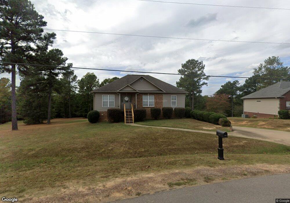
189 Austin Cir Woodstock, AL 35188
Estimated Value: $263,257 - $318,000
--
Bed
2
Baths
1,518
Sq Ft
$198/Sq Ft
Est. Value
About This Home
This home is located at 189 Austin Cir, Woodstock, AL 35188 and is currently estimated at $300,064, approximately $197 per square foot. 189 Austin Cir is a home located in Bibb County.
Ownership History
Date
Name
Owned For
Owner Type
Purchase Details
Closed on
Oct 8, 2020
Sold by
Armstrong Dennis Grant and Armstrong Melissa F
Bought by
Allen Christy A and Allen Douglas M
Current Estimated Value
Home Financials for this Owner
Home Financials are based on the most recent Mortgage that was taken out on this home.
Original Mortgage
$211,105
Outstanding Balance
$187,767
Interest Rate
2.9%
Mortgage Type
FHA
Estimated Equity
$112,297
Purchase Details
Closed on
Jun 29, 2012
Sold by
Deese
Bought by
Armstrong Dennis Grant and Armstrong Melissa F
Purchase Details
Closed on
Oct 5, 2007
Sold by
D & S Homebuilders Llc
Bought by
Deese Thomas M
Create a Home Valuation Report for This Property
The Home Valuation Report is an in-depth analysis detailing your home's value as well as a comparison with similar homes in the area
Home Values in the Area
Average Home Value in this Area
Purchase History
| Date | Buyer | Sale Price | Title Company |
|---|---|---|---|
| Allen Christy A | $215,000 | None Available | |
| Armstrong Dennis Grant | $166,500 | -- | |
| Deese Thomas M | -- | -- |
Source: Public Records
Mortgage History
| Date | Status | Borrower | Loan Amount |
|---|---|---|---|
| Open | Allen Christy A | $211,105 |
Source: Public Records
Tax History Compared to Growth
Tax History
| Year | Tax Paid | Tax Assessment Tax Assessment Total Assessment is a certain percentage of the fair market value that is determined by local assessors to be the total taxable value of land and additions on the property. | Land | Improvement |
|---|---|---|---|---|
| 2024 | $450 | $19,520 | $2,600 | $16,920 |
| 2023 | $450 | $19,720 | $2,600 | $17,120 |
| 2022 | $376 | $16,700 | $2,600 | $14,100 |
| 2021 | $456 | $17,440 | $2,600 | $14,840 |
| 2020 | $466 | $17,800 | $2,600 | $15,200 |
| 2019 | $470 | $17,980 | $2,600 | $15,380 |
| 2018 | $445 | $17,000 | $2,600 | $14,400 |
| 2017 | $445 | $17,000 | $2,600 | $14,400 |
| 2016 | $445 | $17,000 | $2,600 | $14,400 |
| 2015 | $445 | $17,000 | $2,600 | $14,400 |
| 2014 | $442 | $2,600 | $0 | $0 |
| 2013 | $442 | $0 | $0 | $0 |
Source: Public Records
Map
Nearby Homes
- 0 Georgia Loop Unit 8,9 and Parcel 5
- Lot 13 Cove Cir
- 322 Olivia Ln
- 18924 Bama Rock Garden Rd
- 280 Raywood Rd
- 11241 Woodland Dr
- 11 Woodville Rd
- 10 Woodville Rd
- 0 Woodland Dr Unit 170354
- 11515 Robert Rd
- 9 Woodville Rd
- 000 Cary Dr Unit 28
- 000 Cary Dr
- 000 Charles Cir
- 000 Charles Cir Unit 75
- 0 Kensington Blvd Unit 167807
- 0 Kensington Blvd Unit 21413574
- 299 Mcelroy Dr
- 0 Sansing Cir Unit 9-19, 24-27
- 0 Woodland Lake Rd
- 189 Austin Cir
- 174 Austin Cir
- 174 Austin Creek
- 209 Austin Cir
- 175 Austin Cir
- 229 Austin Cir
- 229 Austin Creek
- 146 Austin Cir
- 249 Austin Creek
- 249 Austin Cir
- 149 Austin Creek
- 250 Austin Cir
- 129 Austin Cir
- 89 Austin Creek
- 109 Austin Cir
- 109 Austin Cir
- 46 Austin Cir
- 89 Austin Cir
- 20 Austin Cir
- 339 Laura Ln