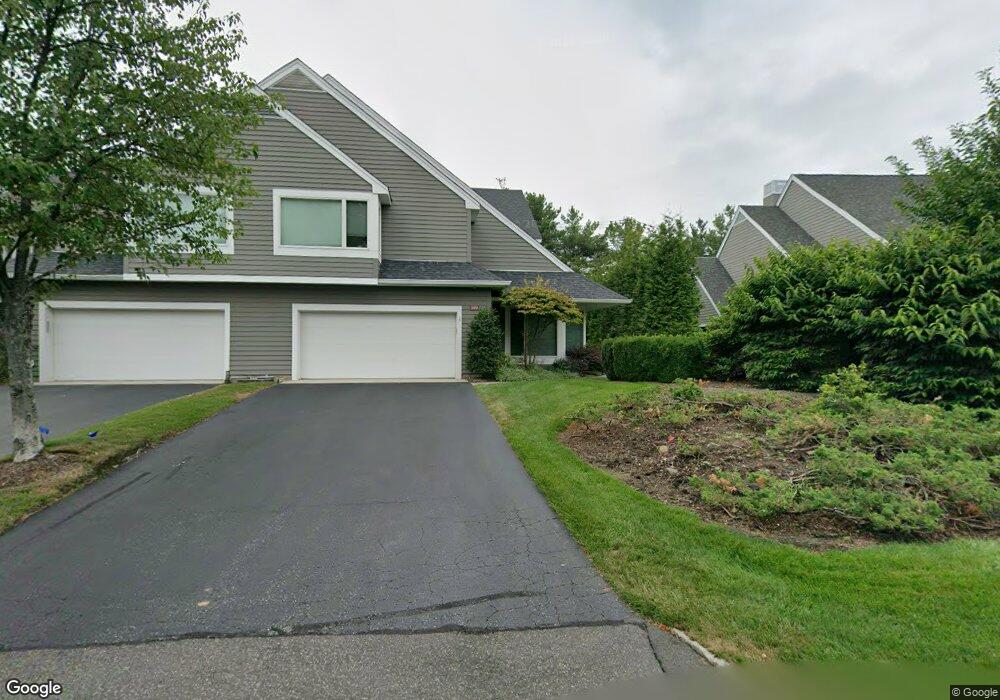
189 Brewster Rd Wyckoff, NJ 07481
Estimated Value: $1,130,000 - $1,616,000
--
Bed
--
Bath
3,668
Sq Ft
$361/Sq Ft
Est. Value
About This Home
This home is located at 189 Brewster Rd, Wyckoff, NJ 07481 and is currently estimated at $1,324,861, approximately $361 per square foot. 189 Brewster Rd is a home located in Bergen County with nearby schools including Sicomac Elementary School, Dwight D Eisenhower Middle School, and Ramapo High School.
Ownership History
Date
Name
Owned For
Owner Type
Purchase Details
Closed on
Sep 20, 2006
Sold by
Corrado Fred
Bought by
Pompeo Jospeh and Pompeo Dolores
Current Estimated Value
Create a Home Valuation Report for This Property
The Home Valuation Report is an in-depth analysis detailing your home's value as well as a comparison with similar homes in the area
Home Values in the Area
Average Home Value in this Area
Purchase History
| Date | Buyer | Sale Price | Title Company |
|---|---|---|---|
| Pompeo Jospeh | $1,150,000 | -- |
Source: Public Records
Tax History Compared to Growth
Tax History
| Year | Tax Paid | Tax Assessment Tax Assessment Total Assessment is a certain percentage of the fair market value that is determined by local assessors to be the total taxable value of land and additions on the property. | Land | Improvement |
|---|---|---|---|---|
| 2025 | $19,096 | $979,300 | $565,000 | $414,300 |
| 2024 | $18,538 | $979,300 | $565,000 | $414,300 |
| 2023 | $18,039 | $979,300 | $565,000 | $414,300 |
| 2022 | $18,039 | $979,300 | $565,000 | $414,300 |
| 2021 | $18,156 | $979,300 | $565,000 | $414,300 |
| 2020 | $17,970 | $979,300 | $565,000 | $414,300 |
| 2019 | $17,725 | $979,300 | $565,000 | $414,300 |
| 2018 | $17,451 | $979,300 | $565,000 | $414,300 |
| 2017 | $17,236 | $979,300 | $565,000 | $414,300 |
| 2016 | $16,961 | $979,300 | $565,000 | $414,300 |
| 2015 | $16,775 | $971,800 | $565,000 | $406,800 |
| 2014 | $16,008 | $1,008,700 | $625,000 | $383,700 |
Source: Public Records
Map
Nearby Homes
- 144 Emeline Dr
- 484 Caldwell Dr
- 300 Merrywood Dr
- 427 Grandview Ave
- 400 Goffle Hill Rd
- 11 Surrey Place Unit 1
- 11 Surrey Place
- 732 Terrace Heights
- 113 Highview Ter Land
- 113 Highview Terrace
- 374 Cedar Hill Ave
- 120 Ravine Ave
- 0 Highview Terrace
- 96 Highland Rd
- 535 Lafayette Ave
- 70 Highland Rd
- 1079 Lafayette Ave Extension
- 510 Sicomac Ave
- 492 Manchester Ave
- 29 Columbia Ct
- 187 Brewster Rd
- 185 Brewster Rd
- 193 Brewster Rd
- 183 Brewster Rd
- 168 Brewster Rd
- 199 Brewster Rd Unit C199
- 179 Brewster Rd
- 177 Brewster Rd
- 194 Brewster Rd
- 166 Brewster Rd
- 175 Brewster Rd
- 196 Brewster Rd
- 198 Brewster Rd Unit 198
- 169 Brewster Rd
- 167 Brewster Rd
- 158 Brewster Rd
- 289 Barnstable Dr
- 541 Cedar Hill Ave
- 541 Cedar Hill Ave
- 165 Brewster Rd