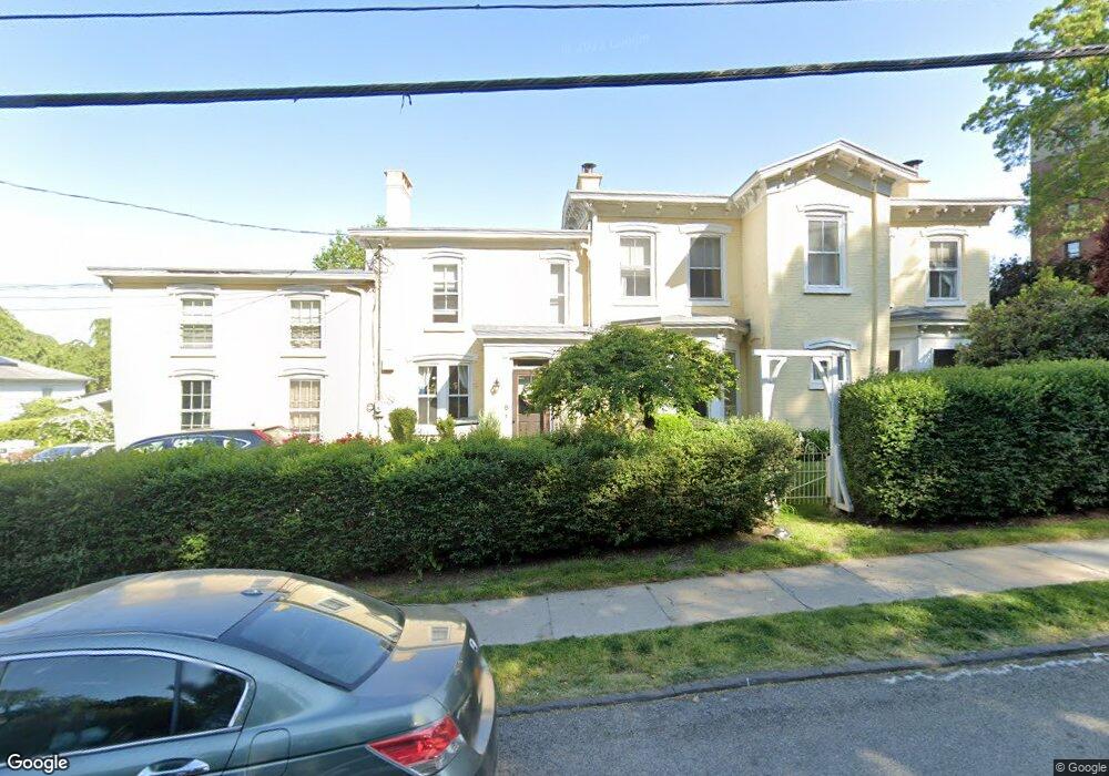
189 Broadway Unit A Dobbs Ferry, NY 10522
Estimated Value: $1,395,000 - $2,238,000
--
Bed
6
Baths
6,188
Sq Ft
$294/Sq Ft
Est. Value
About This Home
This home is located at 189 Broadway Unit A, Dobbs Ferry, NY 10522 and is currently estimated at $1,816,500, approximately $293 per square foot. 189 Broadway Unit A is a home located in Westchester County with nearby schools including Springhurst Elementary School, Dobbs Ferry High School, and The Masters School.
Ownership History
Date
Name
Owned For
Owner Type
Purchase Details
Closed on
Apr 14, 2021
Sold by
Howell Ernest Mason and Estate Of Jean Marion Howell
Bought by
One Ate Nine Llc
Current Estimated Value
Create a Home Valuation Report for This Property
The Home Valuation Report is an in-depth analysis detailing your home's value as well as a comparison with similar homes in the area
Home Values in the Area
Average Home Value in this Area
Purchase History
| Date | Buyer | Sale Price | Title Company |
|---|---|---|---|
| One Ate Nine Llc | -- | National Granite Title Agcy |
Source: Public Records
Tax History Compared to Growth
Tax History
| Year | Tax Paid | Tax Assessment Tax Assessment Total Assessment is a certain percentage of the fair market value that is determined by local assessors to be the total taxable value of land and additions on the property. | Land | Improvement |
|---|---|---|---|---|
| 2024 | $53,681 | $2,115,100 | $372,300 | $1,742,800 |
| 2023 | $49,666 | $1,672,700 | $354,500 | $1,318,200 |
| 2022 | $48,679 | $1,569,000 | $354,500 | $1,214,500 |
| 2021 | $45,364 | $1,480,200 | $354,500 | $1,125,700 |
| 2020 | $44,588 | $1,333,300 | $313,700 | $1,019,600 |
| 2019 | $43,004 | $1,333,300 | $313,700 | $1,019,600 |
| 2018 | $48,079 | $1,297,600 | $313,700 | $983,900 |
| 2017 | $5,408 | $1,238,100 | $313,700 | $924,400 |
| 2016 | $979,192 | $1,190,500 | $313,700 | $876,800 |
| 2015 | -- | $40,850 | $8,850 | $32,000 |
| 2014 | -- | $40,850 | $8,850 | $32,000 |
| 2013 | $31,435 | $40,850 | $8,850 | $32,000 |
Source: Public Records
Map
Nearby Homes
- 18 Eldredge Place
- 33 Livingston Ave
- 78 Oliphant Ave
- 177 Clinton Ave
- 72 Magnolia Dr
- 11 Fairlawn Ave
- 100 Cedar St Unit B33
- 737 N Broadway Unit 2D
- 7 Ravine Dr
- 132 Edgars Ln
- 31 Hudson Dr
- 63 Grandview Ave
- 66 Landing Dr
- 36 Belden Ave
- 10 Sherman Ave
- 50 Belden Ave
- 13 English Ln Unit B
- 101 Beacon Hill Dr Unit 13
- 23 Seneca St
- 40 Floral Dr
- 189 Broadway Unit B
- 189 Broadway
- 38 Livingston Ave Unit 1
- 38 Livingston Ave
- 30 Livingston Ave
- 177 Broadway
- 190 Broadway
- 40 Livingston Ave
- 24 Livingston Ave
- 173 Broadway
- 188 Broadway
- 16 Livingston Ave
- 12 Livingston Ave
- 15 Hatch Terrace
- 182 Broadway
- 54 Livingston Ave
- 8 Livingston Ave Unit .
- 8 Livingston Ave Unit Lower Level
- 8 Livingston Ave
- 4 Rivercrest