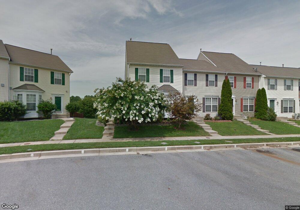
189 Carolstowne Rd Reisterstown, MD 21136
Estimated Value: $339,000 - $397,000
--
Bed
3
Baths
1,756
Sq Ft
$213/Sq Ft
Est. Value
About This Home
This home is located at 189 Carolstowne Rd, Reisterstown, MD 21136 and is currently estimated at $374,024, approximately $212 per square foot. 189 Carolstowne Rd is a home located in Baltimore County with nearby schools including Franklin Elementary School, Franklin Middle, and Franklin High.
Ownership History
Date
Name
Owned For
Owner Type
Purchase Details
Closed on
Nov 10, 1999
Sold by
Powers Homes At Stone Mill Inc
Bought by
Alexander William C and Alexander Gloria J
Current Estimated Value
Purchase Details
Closed on
Jun 7, 1999
Sold by
Glyndon Development Llc
Bought by
Powers Homes At Stone Mill Inc
Create a Home Valuation Report for This Property
The Home Valuation Report is an in-depth analysis detailing your home's value as well as a comparison with similar homes in the area
Home Values in the Area
Average Home Value in this Area
Purchase History
| Date | Buyer | Sale Price | Title Company |
|---|---|---|---|
| Alexander William C | $167,549 | -- | |
| Powers Homes At Stone Mill Inc | $186,000 | -- |
Source: Public Records
Tax History Compared to Growth
Tax History
| Year | Tax Paid | Tax Assessment Tax Assessment Total Assessment is a certain percentage of the fair market value that is determined by local assessors to be the total taxable value of land and additions on the property. | Land | Improvement |
|---|---|---|---|---|
| 2025 | $4,486 | $316,267 | -- | -- |
| 2024 | $4,486 | $284,900 | $63,000 | $221,900 |
| 2023 | $2,190 | $277,600 | $0 | $0 |
| 2022 | $4,151 | $270,300 | $0 | $0 |
| 2021 | $3,959 | $263,000 | $63,000 | $200,000 |
| 2020 | $3,959 | $258,800 | $0 | $0 |
| 2019 | $3,926 | $254,600 | $0 | $0 |
| 2018 | $3,874 | $250,400 | $63,000 | $187,400 |
| 2017 | $3,637 | $242,733 | $0 | $0 |
| 2016 | $3,142 | $235,067 | $0 | $0 |
| 2015 | $3,142 | $227,400 | $0 | $0 |
| 2014 | $3,142 | $227,400 | $0 | $0 |
Source: Public Records
Map
Nearby Homes
- 4 Wolf Ave
- 131 Westminster Rd
- 100 1st Ave
- 123 Glyndon Trace Dr
- 223 New Ave
- 10 Pennyborough Ct
- 7 Butler Rd
- 65A Bond Ave
- 259 E Chatsworth Ave
- 13943 B Old Hanover Rd
- 13943 D Old Hanover Rd
- 13943 C Old Hanover Rd
- 3 Meadow Mist Ct
- 120 Lamport Rd
- 9 Norris Run Ct
- 225 Highmeadow Rd
- 15 Gloucester Ct
- 701 Cockeys Mill Rd
- 926 Nicodemus Rd
- 1015 Nicodemus Rd
- 191 Carolstowne Rd
- 187 Carolstowne Rd
- 193 Carolstowne Rd
- 195 Carolstowne Rd
- 185 Carolstowne Rd
- 39 Bensmill Ct
- 183 Carolstowne Rd
- 197 Carolstowne Rd
- 37 Bensmill Ct
- 1 Bensmill Ct
- 181 Carolstowne Rd
- 199 Carolstowne Rd
- 3 Bensmill Ct
- 35 Bensmill Ct
- 179 Carolstowne Rd
- 5 Bensmill Ct
- 33 Bensmill Ct
- 177 Carolstowne Rd
- 7 Bensmill Ct
- 31 Bensmill Ct