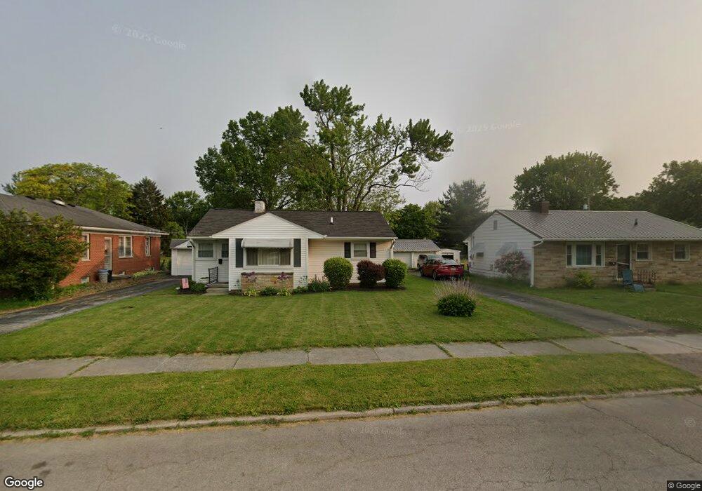
189 Collingwood Ave Norwalk, OH 44857
Estimated Value: $150,000 - $164,000
3
Beds
1
Bath
960
Sq Ft
$162/Sq Ft
Est. Value
About This Home
This home is located at 189 Collingwood Ave, Norwalk, OH 44857 and is currently estimated at $155,173, approximately $161 per square foot. 189 Collingwood Ave is a home located in Huron County with nearby schools including Maplehurst Elementary School, League Elementary School, and Pleasant Elementary School.
Ownership History
Date
Name
Owned For
Owner Type
Purchase Details
Closed on
Jun 14, 2007
Bought by
Hull Darin J and Hull Lisa A
Current Estimated Value
Purchase Details
Closed on
Apr 25, 2003
Bought by
Leroux Joseph A
Purchase Details
Closed on
Jan 10, 2003
Bought by
Secretary Of Housing And
Purchase Details
Closed on
Oct 23, 2000
Sold by
Lieber Daniel R
Bought by
Runkle Chad A
Purchase Details
Closed on
Jun 6, 1986
Bought by
Lieber Daniel R
Create a Home Valuation Report for This Property
The Home Valuation Report is an in-depth analysis detailing your home's value as well as a comparison with similar homes in the area
Home Values in the Area
Average Home Value in this Area
Purchase History
| Date | Buyer | Sale Price | Title Company |
|---|---|---|---|
| Hull Darin J | $89,000 | -- | |
| Leroux Joseph A | -- | -- | |
| Secretary Of Housing And | -- | -- | |
| Runkle Chad A | $86,000 | -- | |
| Lieber Daniel R | $41,000 | -- |
Source: Public Records
Tax History Compared to Growth
Tax History
| Year | Tax Paid | Tax Assessment Tax Assessment Total Assessment is a certain percentage of the fair market value that is determined by local assessors to be the total taxable value of land and additions on the property. | Land | Improvement |
|---|---|---|---|---|
| 2024 | $1,704 | $40,990 | $6,410 | $34,580 |
| 2023 | $1,704 | $28,240 | $5,120 | $23,120 |
| 2022 | $1,163 | $28,240 | $5,120 | $23,120 |
| 2021 | $1,163 | $28,240 | $5,120 | $23,120 |
| 2020 | $1,141 | $26,370 | $5,120 | $21,250 |
| 2019 | $1,117 | $26,370 | $5,120 | $21,250 |
| 2018 | $1,098 | $26,370 | $5,120 | $21,250 |
| 2017 | $946 | $22,610 | $5,120 | $17,490 |
| 2016 | $929 | $22,610 | $5,120 | $17,490 |
| 2015 | $929 | $22,620 | $5,130 | $17,490 |
| 2014 | $931 | $22,470 | $5,110 | $17,360 |
| 2013 | $812 | $22,470 | $5,110 | $17,360 |
Source: Public Records
Map
Nearby Homes
- 173 Saint Marys St
- 203 Spino St
- 45 Grove Ave
- 14 Republic St
- 6 Blossom Dr Unit B
- 107 Gallup Ave
- 154 Gallup Ave
- 34 Old State Rd N
- 121 Leisure Ln
- 112 State Route 61 Unit 25
- 0 Cleveland Rd
- 123 E Main St
- 29 Corwin St
- 0 Milan Ave
- 14 Corwin St
- 57 Milan Ave
- 17 Sara Dr
- 85 Woodlawn Ave
- 11 Granny Smith St
- 120 Woodlawn Ave
- 191 Collingwood Ave
- 30 Central Blvd
- 193 Collingwood Ave
- 36 Central Blvd
- 190 Tucker Ave
- 190 Collingwood Ave
- 188 Collingwood Ave
- 184 Collingwood Ave
- 192 Collingwood Ave
- 192 Tucker Ave
- 35 Central Blvd
- 195 Collingwood Ave
- 184 Tucker Ave
- 194 Tucker Ave
- 20 Central Blvd
- 181 Collingwood Ave
- 185 Tucker Ave
- 180 Tucker Ave
- 191 Tucker Ave
- 2 Taylor Ave