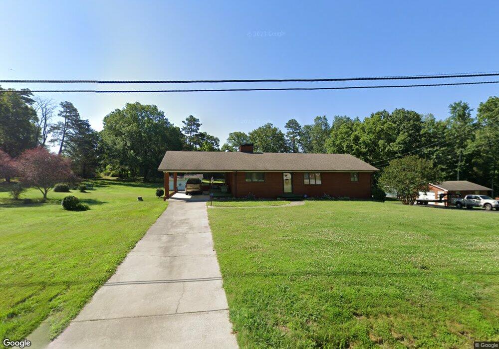
189 Curry Rd High Point, NC 27265
Estimated Value: $208,000 - $365,000
2
Beds
2
Baths
3,110
Sq Ft
$99/Sq Ft
Est. Value
About This Home
This home is located at 189 Curry Rd, High Point, NC 27265 and is currently estimated at $306,426, approximately $98 per square foot. 189 Curry Rd is a home located in Davidson County with nearby schools including Wallburg Elementary School, Ledford Middle School, and Ledford High School.
Ownership History
Date
Name
Owned For
Owner Type
Purchase Details
Closed on
Feb 24, 2025
Sold by
Maness Olean and Proctor Olean Kindley
Bought by
Lane Houston Gary and Legado Houston Rocel
Current Estimated Value
Home Financials for this Owner
Home Financials are based on the most recent Mortgage that was taken out on this home.
Original Mortgage
$260,000
Outstanding Balance
$258,391
Interest Rate
5.88%
Mortgage Type
New Conventional
Estimated Equity
$48,035
Purchase Details
Closed on
Nov 2, 1959
Create a Home Valuation Report for This Property
The Home Valuation Report is an in-depth analysis detailing your home's value as well as a comparison with similar homes in the area
Purchase History
| Date | Buyer | Sale Price | Title Company |
|---|---|---|---|
| Lane Houston Gary | $300,000 | None Listed On Document | |
| -- | -- | -- |
Source: Public Records
Mortgage History
| Date | Status | Borrower | Loan Amount |
|---|---|---|---|
| Open | Lane Houston Gary | $260,000 |
Source: Public Records
Tax History
| Year | Tax Paid | Tax Assessment Tax Assessment Total Assessment is a certain percentage of the fair market value that is determined by local assessors to be the total taxable value of land and additions on the property. | Land | Improvement |
|---|---|---|---|---|
| 2025 | $1,644 | $241,880 | $0 | $0 |
| 2024 | $1,547 | $227,550 | $0 | $0 |
| 2023 | $834 | $227,550 | $0 | $0 |
| 2022 | $834 | $227,550 | $0 | $0 |
| 2021 | $834 | $227,550 | $0 | $0 |
| 2020 | $637 | $164,460 | $0 | $0 |
| 2019 | $647 | $164,460 | $0 | $0 |
| 2018 | $628 | $164,460 | $0 | $0 |
| 2017 | $629 | $164,250 | $0 | $0 |
| 2016 | $610 | $164,250 | $0 | $0 |
| 2015 | $610 | $164,250 | $0 | $0 |
| 2014 | $607 | $164,970 | $0 | $0 |
Source: Public Records
Map
Nearby Homes
- 397 Curry Rd
- 6714 Planters Dr
- 818 Falls Grove Trail
- 872 Falls Grove Trail
- 693 Ansley Way
- 683 Chas Ct
- 4020 Centerpiece Ct
- 1513 Birkdale Ct
- 6148 Tory Ct
- 1366 Bayswater Dr
- 424 Sandybrooke Dr
- 1329 Bayswater Dr
- 6121 Hedgecock Cir Unit 2C
- 6112 Hedgecock Cir
- 3419 Willowcrest St
- 220 Hedgecock Rd
- 111 Seward Ave
- 5430 Forester Dr Unit 3D
- 5430 Forester Dr
- 5430 Forester Dr Unit 2D
- 206 Curry Rd
- 302 Horneytown Rd
- 400 Horneytown Rd
- 307 Horneytown Rd
- 305 Horneytown Rd
- 290 Curry Rd
- 406 Horneytown Rd
- 401 Horneytown Rd
- 403 Horneytown Rd
- 220 Horneytown Rd
- 405 Horneytown Rd
- 704 Richview Cir
- 219 Horneytown Rd
- 500 Horneytown Rd
- 145 Richview Cir
- 407 Horneytown Rd
- 167 Richview Cir
- 1244 Hedgecock Rd
- 164 Richview Cir
- 504 Horneytown Rd
Your Personal Tour Guide
Ask me questions while you tour the home.