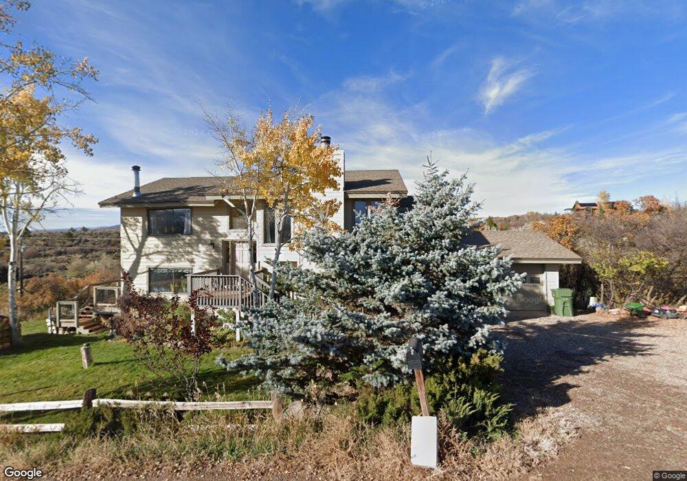
189 Elk Range Dr Carbondale, CO 81623
Estimated Value: $1,104,357 - $1,650,000
4
Beds
2
Baths
2,250
Sq Ft
$623/Sq Ft
Est. Value
About This Home
This home is located at 189 Elk Range Dr, Carbondale, CO 81623 and is currently estimated at $1,401,089, approximately $622 per square foot. 189 Elk Range Dr is a home located in Eagle County with nearby schools including Cornerstone Classical School.
Ownership History
Date
Name
Owned For
Owner Type
Purchase Details
Closed on
Aug 23, 2017
Sold by
Pettit Michael S and Blair Rebecca S
Bought by
Pettit Michael S
Current Estimated Value
Home Financials for this Owner
Home Financials are based on the most recent Mortgage that was taken out on this home.
Original Mortgage
$36,360,000
Outstanding Balance
$30,266,981
Interest Rate
3.96%
Mortgage Type
New Conventional
Estimated Equity
-$28,865,892
Purchase Details
Closed on
May 14, 2009
Sold by
Pettit Michael S
Bought by
Pettit Michael S and Blair Rebecca C
Home Financials for this Owner
Home Financials are based on the most recent Mortgage that was taken out on this home.
Original Mortgage
$407,500
Interest Rate
4.84%
Mortgage Type
New Conventional
Purchase Details
Closed on
Jun 6, 1995
Create a Home Valuation Report for This Property
The Home Valuation Report is an in-depth analysis detailing your home's value as well as a comparison with similar homes in the area
Home Values in the Area
Average Home Value in this Area
Purchase History
| Date | Buyer | Sale Price | Title Company |
|---|---|---|---|
| Pettit Michael S | -- | Title365 | |
| Pettit Michael S | -- | Land Title Guarantee Company | |
| -- | $35,000 | -- |
Source: Public Records
Mortgage History
| Date | Status | Borrower | Loan Amount |
|---|---|---|---|
| Open | Pettit Michael S | $36,360,000 | |
| Closed | Pettit Michael S | $407,500 |
Source: Public Records
Tax History Compared to Growth
Tax History
| Year | Tax Paid | Tax Assessment Tax Assessment Total Assessment is a certain percentage of the fair market value that is determined by local assessors to be the total taxable value of land and additions on the property. | Land | Improvement |
|---|---|---|---|---|
| 2024 | $4,189 | $56,280 | $8,610 | $47,670 |
| 2023 | $4,189 | $56,280 | $8,610 | $47,670 |
| 2022 | $3,208 | $39,910 | $9,520 | $30,390 |
| 2021 | $3,297 | $41,060 | $9,800 | $31,260 |
| 2020 | $3,075 | $40,200 | $8,940 | $31,260 |
| 2019 | $3,104 | $40,200 | $8,940 | $31,260 |
| 2018 | $3,288 | $42,190 | $9,000 | $33,190 |
| 2017 | $3,114 | $42,190 | $9,000 | $33,190 |
| 2016 | $2,364 | $31,470 | $9,950 | $21,520 |
| 2015 | -- | $31,470 | $9,950 | $21,520 |
| 2014 | $1,733 | $24,280 | $7,880 | $16,400 |
Source: Public Records
Map
Nearby Homes
- 450 Green Meadow Dr
- 81 Mountain View Rd
- 735 Green Meadow Dr
- 577 Fox Run Dr
- 14 Fender Ln
- 298 Black Bear Trail
- 456 Black Bear Trail
- TBD Whitecloud Rd
- 161 James Cir
- 196 Dakota Meadows Dr
- 500 Whitecloud Rd
- 604 Larkspur Dr
- 0 Larkspur Dr
- 364 Larkspur Dr
- 110 Floyd Rd
- 369 Park Mesa
- 123 Summit Dr
- 145 Juniper Trail
- 140 Juniper Trail Unit 140
- 488 Skipper Dr
- 76 Deer Trail Ave
- 139 Elk Range Dr
- 253 Elk Range Dr
- 178 Elk Range Dr
- 208 Elk Range Dr
- 144 Elk Range Dr
- 124 Deer Trail Ave
- Tbd Elk Range Dr
- 97 Elk Range Dr
- 242 Elk Range Dr
- 75 Deer Trail Ave
- 71 Deer Trail Ave
- 152 Deer Trail Ave
- 338 Deer Trail Ave
- 1095 Fender Ln
- 133 Deer Trail Ave
- 1055 Fender Ln
- 258 Elk Range Dr
- 76 Elk Range Dr
- 323 Elk Range Dr