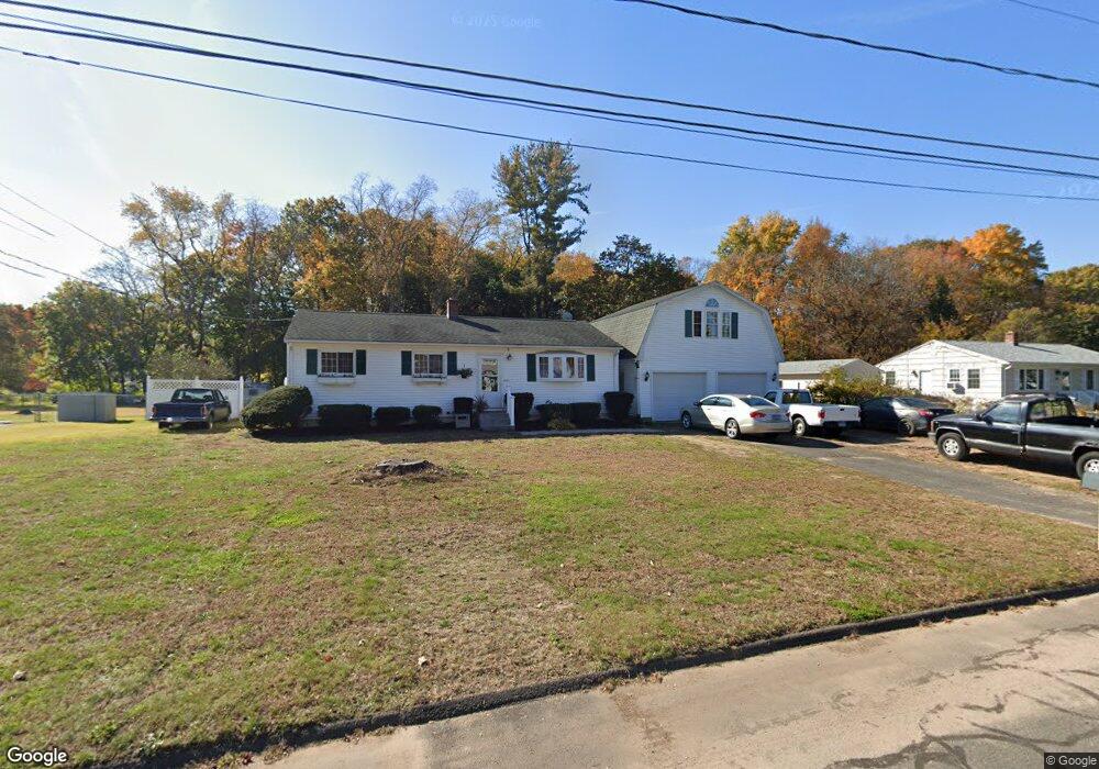
189 Farnham Rd South Windsor, CT 06074
Estimated Value: $306,000 - $360,430
3
Beds
1
Bath
1,008
Sq Ft
$341/Sq Ft
Est. Value
About This Home
This home is located at 189 Farnham Rd, South Windsor, CT 06074 and is currently estimated at $344,108, approximately $341 per square foot. 189 Farnham Rd is a home located in Hartford County with nearby schools including Timothy Edwards School and South Windsor High School.
Ownership History
Date
Name
Owned For
Owner Type
Purchase Details
Closed on
Nov 7, 2012
Sold by
King Renee
Bought by
Ravalese Michael J
Current Estimated Value
Purchase Details
Closed on
May 19, 2011
Sold by
Ravaleses Michael J
Bought by
Ravalese Renee M
Create a Home Valuation Report for This Property
The Home Valuation Report is an in-depth analysis detailing your home's value as well as a comparison with similar homes in the area
Home Values in the Area
Average Home Value in this Area
Purchase History
| Date | Buyer | Sale Price | Title Company |
|---|---|---|---|
| Ravalese Michael J | -- | -- | |
| Ravalese Renee M | -- | -- |
Source: Public Records
Tax History Compared to Growth
Tax History
| Year | Tax Paid | Tax Assessment Tax Assessment Total Assessment is a certain percentage of the fair market value that is determined by local assessors to be the total taxable value of land and additions on the property. | Land | Improvement |
|---|---|---|---|---|
| 2025 | $6,168 | $173,200 | $94,600 | $78,600 |
| 2024 | $5,968 | $173,200 | $94,600 | $78,600 |
| 2023 | $5,740 | $173,200 | $94,600 | $78,600 |
| 2022 | $4,951 | $127,700 | $87,600 | $40,100 |
| 2021 | $4,835 | $127,700 | $87,600 | $40,100 |
| 2020 | $4,837 | $127,700 | $87,600 | $40,100 |
| 2019 | $4,916 | $127,700 | $87,600 | $40,100 |
| 2018 | $4,810 | $127,700 | $87,600 | $40,100 |
| 2017 | $4,889 | $128,400 | $87,600 | $40,800 |
| 2016 | $4,794 | $128,400 | $87,600 | $40,800 |
| 2015 | $4,692 | $128,400 | $87,600 | $40,800 |
| 2014 | $4,559 | $128,400 | $87,600 | $40,800 |
Source: Public Records
Map
Nearby Homes
- 35 Dower Rd
- 74 Alison Dr
- 43 W River Rd
- 29 W River Rd
- 26 Cathy (Lot 13) Ln
- 23 Cathy (Lot 21) Ln
- 24 Cathy (Lot 14) Ln
- 21 Ln
- 22 Cathy (Lot 15) Ln
- 19 Cathy (Lot 19) Ln
- 20 Cathy (Lot 16) Ln
- 17 Cathy (Lot 18) Ln
- 18 Cathy (Lot 17) Ln
- 27 W River Rd
- 34 W River Rd
- 31 Wendy Dr
- 372 Scantic Rd Unit 8
- 668 Sullivan Ave
- 47 Ferry Ln
- 50 High St
- 181 Farnham Rd
- 197 Farnham Rd
- 173 Farnham Rd
- 205 Farnham Rd
- 184 Farnham Rd
- 200 Mcgrath Rd
- 165 Farnham Rd
- 174 Farnham Rd
- 213 Farnham Rd
- 190 Mcgrath Rd
- 192 Farnham Rd
- 200 Farnham Rd
- 9 Pear Tree Ln
- 208 Farnham Rd
- 157 Farnham Rd
- 221 Farnham Rd
- 195 Mcgrath Rd
- 25 Cherry Blossom Ln
- 214 Farnham Rd
- 15 Cherry Blossom Ln