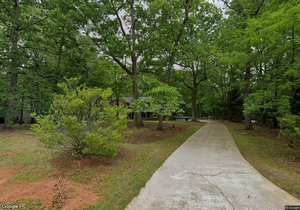
189 Foggy Bottom Dr Carrollton, GA 30116
Estimated Value: $354,468 - $472,000
4
Beds
3
Baths
2,310
Sq Ft
$176/Sq Ft
Est. Value
About This Home
This home is located at 189 Foggy Bottom Dr, Carrollton, GA 30116 and is currently estimated at $405,617, approximately $175 per square foot. 189 Foggy Bottom Dr is a home located in Carroll County with nearby schools including Central Elementary School, Central Middle School, and Central High School.
Ownership History
Date
Name
Owned For
Owner Type
Purchase Details
Closed on
Jun 23, 2009
Sold by
Burgess Brent D
Bought by
Burgess Brent D
Current Estimated Value
Home Financials for this Owner
Home Financials are based on the most recent Mortgage that was taken out on this home.
Original Mortgage
$113,000
Outstanding Balance
$71,204
Interest Rate
4.88%
Mortgage Type
New Conventional
Estimated Equity
$334,413
Purchase Details
Closed on
May 14, 1986
Bought by
Burgess Brent and D T
Create a Home Valuation Report for This Property
The Home Valuation Report is an in-depth analysis detailing your home's value as well as a comparison with similar homes in the area
Home Values in the Area
Average Home Value in this Area
Purchase History
| Date | Buyer | Sale Price | Title Company |
|---|---|---|---|
| Burgess Brent D | -- | -- | |
| Burgess Brent | $15,000 | -- |
Source: Public Records
Mortgage History
| Date | Status | Borrower | Loan Amount |
|---|---|---|---|
| Open | Burgess Brent D | $113,000 |
Source: Public Records
Tax History Compared to Growth
Tax History
| Year | Tax Paid | Tax Assessment Tax Assessment Total Assessment is a certain percentage of the fair market value that is determined by local assessors to be the total taxable value of land and additions on the property. | Land | Improvement |
|---|---|---|---|---|
| 2025 | $2,545 | $139,306 | $18,000 | $121,306 |
| 2024 | $2,574 | $139,306 | $18,000 | $121,306 |
| 2023 | $2,574 | $128,273 | $18,000 | $110,273 |
| 2022 | $2,239 | $106,495 | $18,000 | $88,495 |
| 2021 | $2,064 | $93,746 | $18,000 | $75,746 |
| 2020 | $1,930 | $86,192 | $18,000 | $68,192 |
| 2019 | $1,829 | $79,914 | $18,000 | $61,914 |
| 2018 | $1,730 | $73,137 | $18,000 | $55,137 |
| 2017 | $1,734 | $73,137 | $18,000 | $55,137 |
| 2016 | $1,735 | $73,137 | $18,000 | $55,137 |
| 2015 | $1,921 | $76,948 | $18,000 | $58,948 |
| 2014 | $1,928 | $76,948 | $18,000 | $58,948 |
Source: Public Records
Map
Nearby Homes
- 158 Foggy Bottom Dr
- 391 Foggy Bottom Dr
- 0 Cross Plains Rd Unit 10644288
- 0 Cross Plains Rd Unit 7682594
- 252 Mink Hollow Dr
- 40 Westbrook Rd
- 109 National Way
- 1209 Old Newnan Rd
- 106 Victoria Vining
- 1201 Old Newnan Rd
- 103 Birkdale Blvd
- 304 Tanglewood Trail
- 106 Victoria Way
- 2181 2201 Star Point
- 52 Castleman Rd
- 205 Turnberry Cir
- 211 Foggy Bottom Dr
- 165 Foggy Bottom Dr
- 255 Foggy Bottom Dr
- 0 Hickory Trace Ct Unit 8015378
- 0 Hickory Trace Ct
- 186 Foggy Bottom Dr
- 186 Foggy Bottom Dr
- 216 Foggy Bottom Dr
- 238 Foggy Bottom Dr
- 52 Mink Hollow Dr
- 323 Foggy Bottom Dr
- 244 Foggy Bottom Dr
- 260 Foggy Bottom Dr Unit Lot 9
- 260 Foggy Bottom Dr Unit 9
- 260 Foggy Bottom Dr
- 276 Foggy Bottom Dr
- 17 Mink Hollow Dr
- 30 Hickory Trace Ct
- 292 Foggy Bottom Dr Unit 11
- 292 Foggy Bottom Dr