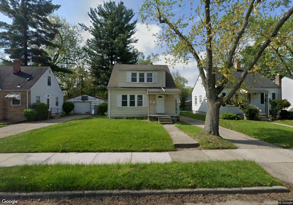
189 Fulton St Pontiac, MI 48341
Estimated Value: $102,000 - $143,000
2
Beds
2
Baths
1,377
Sq Ft
$88/Sq Ft
Est. Value
About This Home
This home is located at 189 Fulton St, Pontiac, MI 48341 and is currently estimated at $121,191, approximately $88 per square foot. 189 Fulton St is a home located in Oakland County with nearby schools including Walt Whitman Elementary School, Pontiac Middle School, and Pontiac High School.
Ownership History
Date
Name
Owned For
Owner Type
Purchase Details
Closed on
Aug 1, 2025
Sold by
Perkins Erika D and Collier Erika
Bought by
Perkins Family Revocable Trust
Current Estimated Value
Purchase Details
Closed on
Nov 1, 2013
Sold by
Oakland County Treasurer
Bought by
Collier Erika D
Purchase Details
Closed on
Sep 17, 2003
Sold by
Hayden Louise C and Hayden Willie E
Bought by
Pal Piseth
Create a Home Valuation Report for This Property
The Home Valuation Report is an in-depth analysis detailing your home's value as well as a comparison with similar homes in the area
Home Values in the Area
Average Home Value in this Area
Purchase History
| Date | Buyer | Sale Price | Title Company |
|---|---|---|---|
| Perkins Family Revocable Trust | -- | None Listed On Document | |
| Perkins Family Revocable Trust | -- | None Listed On Document | |
| Collier Erika D | $10,000 | None Available | |
| Pal Piseth | $40,000 | Multiple | |
| Hayden Louise C | -- | Philip R Seaver Title Co Inc |
Source: Public Records
Tax History Compared to Growth
Tax History
| Year | Tax Paid | Tax Assessment Tax Assessment Total Assessment is a certain percentage of the fair market value that is determined by local assessors to be the total taxable value of land and additions on the property. | Land | Improvement |
|---|---|---|---|---|
| 2024 | $945 | $29,140 | $0 | $0 |
| 2023 | $901 | $26,520 | $0 | $0 |
| 2022 | $1,944 | $22,930 | $0 | $0 |
| 2021 | $1,836 | $20,710 | $0 | $0 |
| 2020 | $819 | $18,660 | $0 | $0 |
| 2019 | $872 | $16,170 | $0 | $0 |
| 2018 | $7,698 | $14,750 | $0 | $0 |
| 2017 | $549 | $14,540 | $0 | $0 |
| 2016 | $576 | $13,900 | $0 | $0 |
| 2015 | -- | $13,870 | $0 | $0 |
| 2014 | -- | $12,090 | $0 | $0 |
| 2011 | -- | $21,730 | $0 | $0 |
Source: Public Records
Map
Nearby Homes
- 200 Astorwood St
- 200 Cedardale Ave
- 567 Highland Ave
- 371 Nebraska Ave
- 587 California Ave
- 0000 Franklin Rd
- 470 Fildew Ave
- 466 Colorado Ave
- 483 Pearsall Ave
- 485 Colorado Ave
- 472 Wyoming Ave
- 151 South Blvd W
- 533 California Ave
- 425 Kendry
- 455 Irwin Ave
- 323 Ferry Ave
- 583 Going St
- 559 Arthur Ave
- 209 Ferry Ave
- 305 South Blvd W