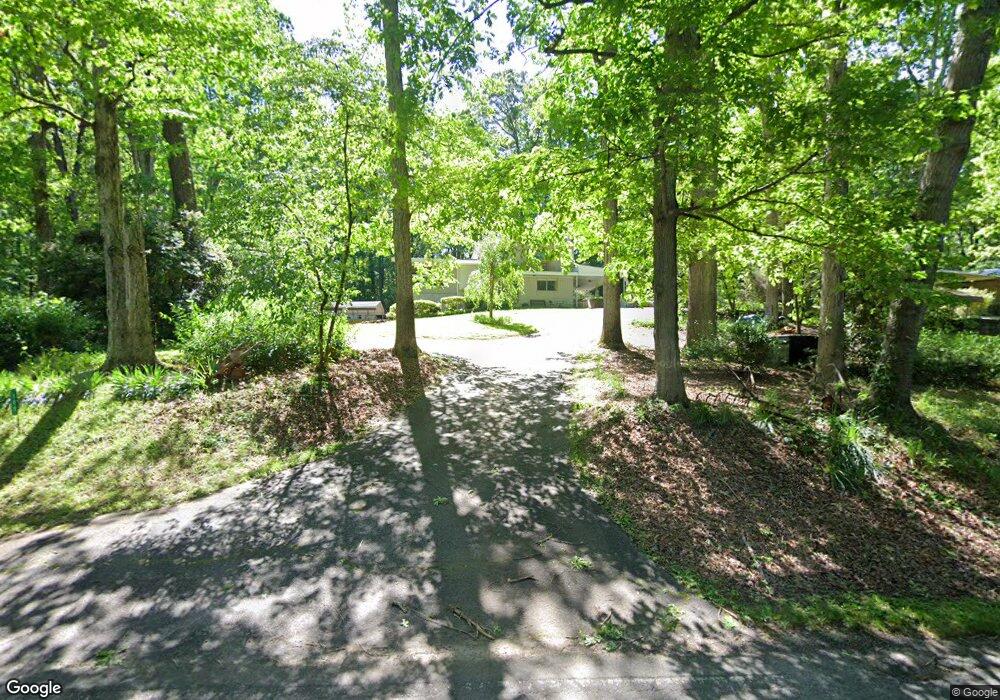
189 Grove Level Rd Commerce, GA 30529
Estimated Value: $245,451 - $366,000
4
Beds
3
Baths
2,028
Sq Ft
$160/Sq Ft
Est. Value
About This Home
This home is located at 189 Grove Level Rd, Commerce, GA 30529 and is currently estimated at $324,863, approximately $160 per square foot. 189 Grove Level Rd is a home located in Banks County with nearby schools including Banks County Primary School, Banks County Elementary School, and Banks County Middle School.
Ownership History
Date
Name
Owned For
Owner Type
Purchase Details
Closed on
Oct 14, 2022
Sold by
Gailey Sarah Elizabeth Hunte
Bought by
Gailey Jonathan and Gailey Hhannah
Current Estimated Value
Home Financials for this Owner
Home Financials are based on the most recent Mortgage that was taken out on this home.
Original Mortgage
$89,500
Outstanding Balance
$85,901
Interest Rate
6.02%
Mortgage Type
New Conventional
Estimated Equity
$238,962
Create a Home Valuation Report for This Property
The Home Valuation Report is an in-depth analysis detailing your home's value as well as a comparison with similar homes in the area
Home Values in the Area
Average Home Value in this Area
Purchase History
| Date | Buyer | Sale Price | Title Company |
|---|---|---|---|
| Gailey Jonathan | $175,000 | -- | |
| Hunte Gailey Sarah Elizabeth | -- | -- | |
| Hunte Gailey Sarah Elizabeth | -- | -- |
Source: Public Records
Mortgage History
| Date | Status | Borrower | Loan Amount |
|---|---|---|---|
| Open | Hunte Gailey Sarah Elizabeth | $89,500 |
Source: Public Records
Tax History
| Year | Tax Paid | Tax Assessment Tax Assessment Total Assessment is a certain percentage of the fair market value that is determined by local assessors to be the total taxable value of land and additions on the property. | Land | Improvement |
|---|---|---|---|---|
| 2025 | $2,604 | $144,514 | $17,523 | $126,991 |
| 2024 | $2,604 | $138,365 | $15,930 | $122,435 |
| 2023 | $2,726 | $86,700 | $13,100 | $73,600 |
| 2022 | $1,156 | $74,996 | $12,349 | $62,647 |
| 2021 | $876 | $59,198 | $7,896 | $51,302 |
| 2020 | $615 | $46,841 | $6,635 | $40,206 |
| 2019 | $619 | $46,841 | $6,635 | $40,206 |
| 2018 | $578 | $44,661 | $5,104 | $39,557 |
| 2017 | $592 | $44,242 | $4,438 | $39,804 |
| 2016 | $609 | $44,242 | $4,438 | $39,804 |
| 2015 | $712 | $44,241 | $4,438 | $39,804 |
| 2014 | $712 | $50,328 | $10,524 | $39,804 |
| 2013 | -- | $50,327 | $10,524 | $39,803 |
Source: Public Records
Map
Nearby Homes
- 126 Loggins Trail
- 390 Beck Farm Rd
- 259 E Ridgeway Rd
- 0 Steven B Tanger Blvd Unit 18091877
- 0 Eisenhower Dr
- 840 Haggard Rd
- 0 McDonald Cir Unit 7694829
- 1851 Yarbrough Ridgeway Rd
- 606 Beck Rd
- 1262 Ridgeway Church Rd
- 20352 Highway 441 S
- 711 W Ridgeway Rd
- 396 Old Harden Orchard Rd
- 0 Beck Rd
- 150 Harden Bridge Rd
- 5830 Maysville Rd
- 560 Windsong Lake Dr
- 2234 Remington Dr
- 197 Ridgeland Dr
- 144 Chestnut Trail
- 213 Grove Level Rd
- 107 Grove Level Dr
- 265 Grove Level Rd
- 243 Grove Level Rd
- 750 E Ridgeway Rd
- 111 Grove Level Dr
- 0 Grove Level Rd Unit 1004736
- 0 Grove Level Rd Unit 10133031
- 0 Grove Level Rd Unit 3034110
- 115 Brook Trail Creek Way
- 24 Beck Farm Rd
- 595 Lake Forest Dr
- 586 Lake Forest Dr
- 725 E Ridgeway Rd
- 308 Grove Level Rd
- 66 Beck Farm Rd
- 627 E Ridgeway Rd
- 797 E Ridgeway Rd
- 142 Beck Farm Rd
- 174 Lake Forest Dr
Your Personal Tour Guide
Ask me questions while you tour the home.