189 Hermit Ridge Rd Kalama, WA 98625
Estimated Value: $674,000 - $788,000
4
Beds
3
Baths
2,424
Sq Ft
$294/Sq Ft
Est. Value
About This Home
This home is located at 189 Hermit Ridge Rd, Kalama, WA 98625 and is currently estimated at $712,611, approximately $293 per square foot. 189 Hermit Ridge Rd is a home with nearby schools including Kalama Elementary School, Kalama Middle School, and Kalama High School.
Ownership History
Date
Name
Owned For
Owner Type
Purchase Details
Closed on
Nov 12, 2019
Sold by
Norwood David N and Norwood Elizabeth S
Bought by
Norwood David N and Norwood Elizabeth S
Current Estimated Value
Purchase Details
Closed on
Jul 10, 2014
Sold by
Norwood Elizabeth S
Bought by
Norwood David N and Norwood Elizabeth S
Home Financials for this Owner
Home Financials are based on the most recent Mortgage that was taken out on this home.
Original Mortgage
$299,000
Interest Rate
3.87%
Mortgage Type
Construction
Create a Home Valuation Report for This Property
The Home Valuation Report is an in-depth analysis detailing your home's value as well as a comparison with similar homes in the area
Home Values in the Area
Average Home Value in this Area
Purchase History
| Date | Buyer | Sale Price | Title Company |
|---|---|---|---|
| Norwood David N | -- | None Available | |
| Norwood David N | -- | Chicago Title Ins |
Source: Public Records
Mortgage History
| Date | Status | Borrower | Loan Amount |
|---|---|---|---|
| Closed | Norwood David N | $299,000 |
Source: Public Records
Tax History Compared to Growth
Tax History
| Year | Tax Paid | Tax Assessment Tax Assessment Total Assessment is a certain percentage of the fair market value that is determined by local assessors to be the total taxable value of land and additions on the property. | Land | Improvement |
|---|---|---|---|---|
| 2024 | $6,039 | $672,370 | $25,670 | $646,700 |
| 2023 | $5,919 | $670,650 | $23,950 | $646,700 |
| 2022 | $5,310 | $674,610 | $21,510 | $653,100 |
| 2021 | $5,787 | $521,190 | $17,780 | $503,410 |
| 2020 | $5,111 | $550,600 | $17,160 | $533,440 |
| 2019 | $4,726 | $472,527 | $16,595 | $455,932 |
| 2018 | $3,533 | $427,350 | $16,600 | $410,750 |
| 2017 | $2,797 | $347,660 | $16,060 | $331,600 |
| 2016 | $2,015 | $289,700 | $15,180 | $274,520 |
| 2015 | $129 | $249,560 | $14,770 | $234,790 |
| 2013 | -- | $12,050 | $12,050 | $0 |
Source: Public Records
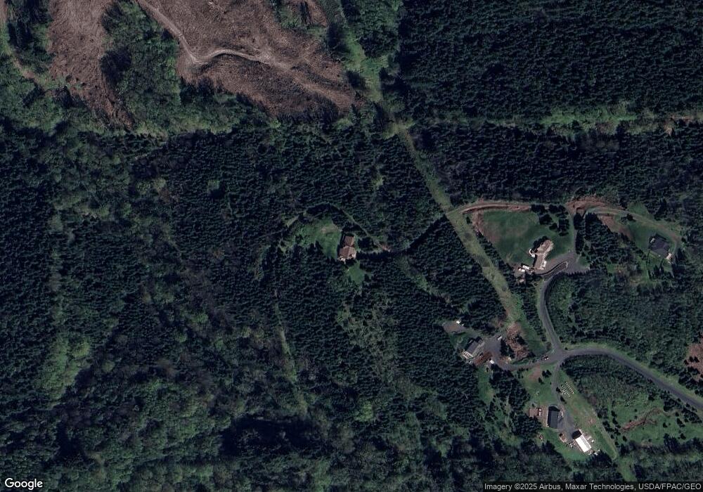
Map
Nearby Homes
- 333 Powder Hill Dr
- 0 0 Rogers Rd Unit 2
- 0 0 Rogers Rd Unit 1
- 103 Lady Blue Ln
- 257 Serenity Ln
- 0 0 Old Spreadborough Rd
- 214 Old Spreadborough Rd
- 0 Old Spreadborough Rd
- 105 Eli Avery Ave
- 850 Waters Watch Rd
- 1045 Taylor Rd
- 0 China Garden Rd Unit NWM2134431
- 0 China Garden Rd Unit NWM2134430
- 0 China Garden Rd Unit A 23261722
- 0 China Garden Rd Unit D 23142846
- 0 China Garden Rd Unit B 23521969
- 0 China Garden Rd Unit NWM2134432
- 810 Taylor Rd
- 0 Fallert Rd
- 900 China Garden Rd
- 525 Crystal Ct
- 501 Crystal Ct
- 151 Hermit Ridge Rd
- 140 Hermit Ridge Rd
- 440 Quietwood Dr
- 310 Quietwood Dr
- 400 Quietwood Dr
- 0 Garnet Rd Unit 688146
- 0 Garnet Rd Unit 850884
- 0 Garnet Rd Unit 21611113
- 0 Garnet Rd Unit 4 15442464
- 460 Garnet Rd
- 375 Quietwood Dr
- 325 Quietwood Dr
- 500 Powderhill Rd
- 400 Powder Hill Dr
- 0 Lot 10 Garnet Rd Unit 1807404
- 121 Star Rd
- 0 Lot 10 Garnet Rd
- 350 Powder Hill Dr