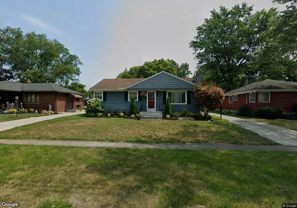
189 Homestead Dr North Tonawanda, NY 14120
Estimated Value: $225,000 - $274,000
3
Beds
2
Baths
1,040
Sq Ft
$239/Sq Ft
Est. Value
About This Home
This home is located at 189 Homestead Dr, North Tonawanda, NY 14120 and is currently estimated at $248,739, approximately $239 per square foot. 189 Homestead Dr is a home located in Niagara County with nearby schools including Drake School, St. John Lutheran School, and St Matthew Lutheran School.
Ownership History
Date
Name
Owned For
Owner Type
Purchase Details
Closed on
Aug 10, 2009
Sold by
Phillips Steven
Bought by
Manera Ashley
Current Estimated Value
Purchase Details
Closed on
May 28, 2008
Sold by
Miller John
Bought by
Phillips Steven
Home Financials for this Owner
Home Financials are based on the most recent Mortgage that was taken out on this home.
Original Mortgage
$114,693
Interest Rate
6.13%
Mortgage Type
FHA
Create a Home Valuation Report for This Property
The Home Valuation Report is an in-depth analysis detailing your home's value as well as a comparison with similar homes in the area
Home Values in the Area
Average Home Value in this Area
Purchase History
| Date | Buyer | Sale Price | Title Company |
|---|---|---|---|
| Manera Ashley | -- | None Available | |
| Phillips Steven | $109,900 | Brandon Piasecki |
Source: Public Records
Mortgage History
| Date | Status | Borrower | Loan Amount |
|---|---|---|---|
| Previous Owner | Phillips Steven | $114,693 |
Source: Public Records
Tax History Compared to Growth
Tax History
| Year | Tax Paid | Tax Assessment Tax Assessment Total Assessment is a certain percentage of the fair market value that is determined by local assessors to be the total taxable value of land and additions on the property. | Land | Improvement |
|---|---|---|---|---|
| 2024 | $3,527 | $99,900 | $17,300 | $82,600 |
| 2023 | $3,440 | $99,900 | $17,300 | $82,600 |
| 2022 | $2,953 | $99,900 | $17,300 | $82,600 |
| 2021 | $2,908 | $99,900 | $17,300 | $82,600 |
| 2020 | $2,799 | $99,900 | $17,300 | $82,600 |
| 2019 | $1,369 | $99,900 | $17,300 | $82,600 |
| 2018 | $2,731 | $99,900 | $17,300 | $82,600 |
| 2017 | $2,664 | $99,900 | $17,300 | $82,600 |
| 2016 | $2,583 | $99,900 | $17,300 | $82,600 |
| 2015 | -- | $99,900 | $17,300 | $82,600 |
| 2014 | -- | $99,900 | $17,300 | $82,600 |
Source: Public Records
Map
Nearby Homes
- 195 Homestead Dr
- 183 Homestead Dr
- 201 Homestead Dr
- 177 Homestead Dr
- 207 Homestead Dr
- 171 Homestead Dr
- 190 Homestead Dr
- 196 Homestead Dr
- 184 Homestead Dr
- 363 Frontier Ave
- 202 Homestead Dr
- 178 Homestead Dr
- 165 Homestead Dr
- 373 Frontier Ave
- 377 Frontier Ave
- 208 Homestead Dr
- 381 Frontier Ave
- 172 Homestead Dr
- 159 Homestead Dr
- 389 Frontier Ave