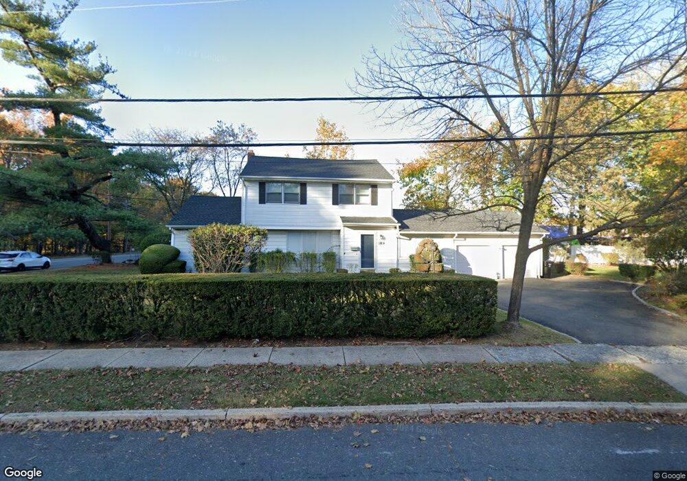
189 Homestead Rd Paramus, NJ 07652
Estimated Value: $969,608 - $1,000,000
--
Bed
--
Bath
2,028
Sq Ft
$487/Sq Ft
Est. Value
About This Home
This home is located at 189 Homestead Rd, Paramus, NJ 07652 and is currently estimated at $988,152, approximately $487 per square foot. 189 Homestead Rd is a home located in Bergen County with nearby schools including Paramus High School and David Gregory School.
Ownership History
Date
Name
Owned For
Owner Type
Purchase Details
Closed on
May 15, 2018
Sold by
Carrion Mauricio and Carrion Joan
Bought by
Razzak Shahryar and Ahmed Komal N
Current Estimated Value
Purchase Details
Closed on
Feb 1, 2005
Sold by
Restrepo Santiago
Bought by
189 Homestead Rd Llc
Purchase Details
Closed on
Dec 20, 2000
Sold by
Beauseigneur Emil
Bought by
Restrepo Santiago and Restrepo Luz S
Home Financials for this Owner
Home Financials are based on the most recent Mortgage that was taken out on this home.
Original Mortgage
$50,000
Interest Rate
7.71%
Create a Home Valuation Report for This Property
The Home Valuation Report is an in-depth analysis detailing your home's value as well as a comparison with similar homes in the area
Home Values in the Area
Average Home Value in this Area
Purchase History
| Date | Buyer | Sale Price | Title Company |
|---|---|---|---|
| Razzak Shahryar | $580,000 | -- | |
| 189 Homestead Rd Llc | $595,000 | -- | |
| Restrepo Santiago | $330,000 | -- |
Source: Public Records
Mortgage History
| Date | Status | Borrower | Loan Amount |
|---|---|---|---|
| Previous Owner | Restrepo Santiago | $50,000 |
Source: Public Records
Tax History Compared to Growth
Tax History
| Year | Tax Paid | Tax Assessment Tax Assessment Total Assessment is a certain percentage of the fair market value that is determined by local assessors to be the total taxable value of land and additions on the property. | Land | Improvement |
|---|---|---|---|---|
| 2025 | $10,624 | $780,800 | $457,200 | $323,600 |
| 2024 | $10,137 | $701,700 | $392,900 | $308,800 |
| 2023 | $9,604 | $660,800 | $373,300 | $287,500 |
| 2022 | $9,604 | $618,800 | $347,500 | $271,300 |
| 2021 | $9,403 | $568,500 | $318,200 | $250,300 |
| 2020 | $8,942 | $560,600 | $313,200 | $247,400 |
| 2019 | $8,198 | $441,700 | $247,500 | $194,200 |
| 2018 | $8,096 | $441,700 | $247,500 | $194,200 |
| 2017 | $7,955 | $441,700 | $247,500 | $194,200 |
| 2016 | $7,739 | $441,700 | $247,500 | $194,200 |
| 2015 | $7,659 | $441,700 | $247,500 | $194,200 |
| 2014 | $7,593 | $441,700 | $247,500 | $194,200 |
Source: Public Records
Map
Nearby Homes
- 160 Jerome Ave
- 517 Marion Ln
- 557 Forest Ave
- 623 Alberta Dr
- 517 Fordham Place
- 216 E Midland Ave
- 391 Harrison St
- 314 Ross Rd
- 229 Standish Rd
- 645 Cambridge Rd
- 552 Burlington St
- 415 Bailey Rd
- 890 Oradell Ave
- 362 Harrison St
- 817 Riverdell Rd
- 812 Ridgewood Ave
- 16 Columbine Rd
- 89 Circle Dr
- 412 Gregory Rd
- 308 Haywood Dr
- 524 N Farview Ave
- 193 Homestead Rd
- 188 Homestead Rd
- 530 N Farview Ave
- 192 Homestead Rd
- 197 Homestead Rd
- 510 N Farview Ave
- 196 Homestead Rd
- 199 Homestead Rd
- 200 Homestead Rd
- 379 Mckinley Blvd
- 500 N Farview Ave
- 203 Homestead Rd
- 377 Mckinley Blvd
- 202 Homestead Rd
- 507 N Farview Ave
- 180 Jerome Ave
- 373 Mckinley Blvd
- 205 Homestead Rd
- 206 Homestead Rd