189 Katydid Rd Morganton, GA 30560
Mineral Bluff AreaEstimated Value: $541,000 - $685,000
About This Home
This home is located at 189 Katydid Rd, Morganton, GA 30560 and is currently estimated at $624,242, approximately $308 per square foot. 189 Katydid Rd is a home located in Fannin County with nearby schools including Fannin County High School.
Ownership History
We collect this data history from publicly available records. To have your information removed, we recommend requesting removal directly through your county’s website.
Purchase Details
Home Financials for this Owner
Home Financials are based on the most recent Mortgage that was taken out on this home.Purchase Details
Home Financials for this Owner
Home Financials are based on the most recent Mortgage that was taken out on this home.Purchase Details
Purchase Details
Purchase Details
Home Values in the Area
Average Home Value in this Area
Purchase History
We collect this data history from publicly available records. To have your information removed, we recommend requesting removal directly through your county’s website.
| Date | Buyer | Sale Price | Title Company |
|---|---|---|---|
| $225,000 | -- | ||
| $242,000 | -- | ||
| -- | -- | ||
| $185,000 | -- | ||
| $30,000 | -- |
Mortgage History
We collect this data history from publicly available records. To have your information removed, we recommend requesting removal directly through your county’s website.
| Date | Status | Borrower | Loan Amount |
|---|---|---|---|
| Open | $224,700 | ||
| Closed | $50,800 | ||
| Closed | $120,000 | ||
| Previous Owner | $140,000 |
Tax History
We collect this data history from publicly available records. To have your information removed, we recommend requesting removal directly through your county’s website.
| Year | Tax Paid | Tax Assessment Tax Assessment Total Assessment is a certain percentage of the fair market value that is determined by local assessors to be the total taxable value of land and additions on the property. | Land | Improvement |
|---|---|---|---|---|
| 2025 | $833 | $228,641 | $41,899 | $186,742 |
| 2024 | $8 | $228,641 | $41,899 | $186,742 |
| 2023 | $1,583 | $195,297 | $41,899 | $153,398 |
| 2022 | $1,602 | $197,731 | $41,899 | $155,832 |
| 2021 | $1,363 | $99,229 | $14,861 | $84,368 |
| 2020 | $1,414 | $99,229 | $14,861 | $84,368 |
| 2019 | $1,303 | $89,695 | $7,340 | $82,355 |
| 2018 | $1,382 | $89,695 | $7,340 | $82,355 |
| 2017 | $1,606 | $90,766 | $7,340 | $83,426 |
| 2016 | $1,464 | $86,213 | $7,340 | $78,873 |
| 2015 | $1,618 | $91,184 | $7,340 | $83,844 |
| 2014 | $1,906 | $107,871 | $16,000 | $91,871 |
| 2013 | -- | $58,811 | $16,000 | $42,811 |
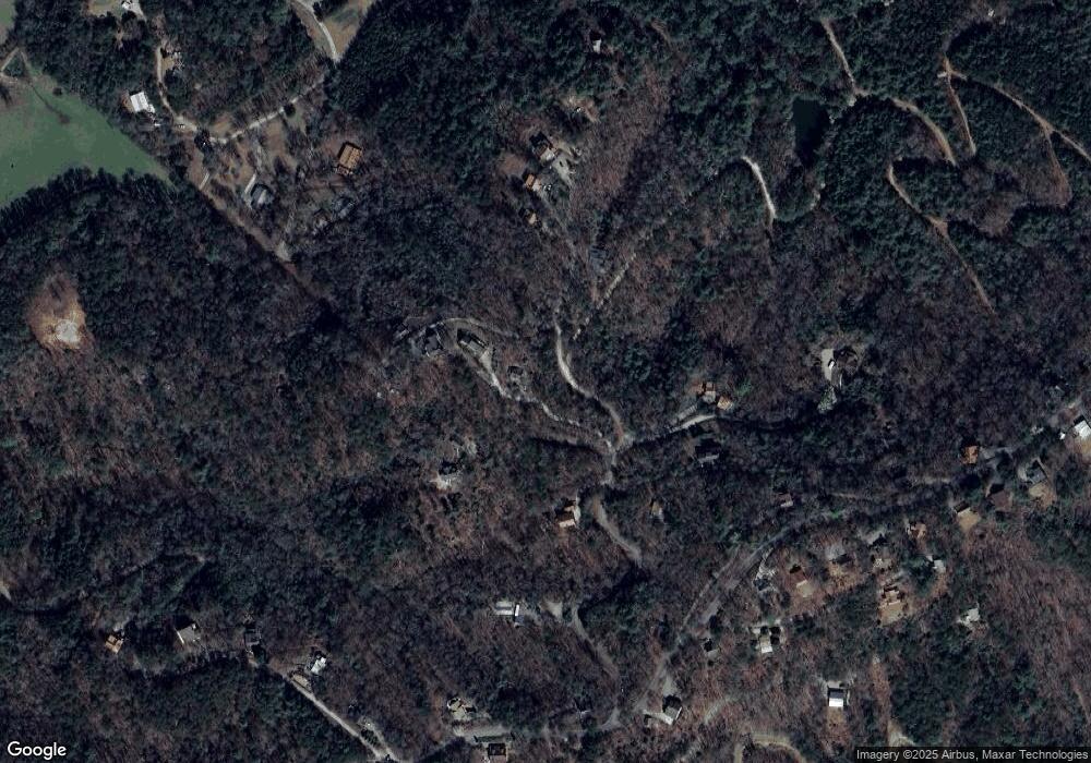
Map
- 309 Katydid Rd
- 0 Judah Rd Unit 10793495
- 0 Judah Rd Unit 432843
- 88 Down Yonder Rd
- 1600 My Mountain Rd
- 62 Walkabout Creek Rd
- 1289 My Mountain Rd
- LT 151 The Ridges
- LOT 95 The Ridges
- LOT 95 The Ridges
- 487 Walkabout Creek Rd
- Lot 10 Mountain Laurel Ridge
- 184 Mountain Laurel Dr
- 215 The Woods Rd
- 284 The Woods Rd
- 284 The Woods Rd Unit 33
- 964 Walkabout Creek Rd
- LOT 53 Mountain Laurel Ridge
- lot 16 Mountain Laurel Ridge
- 295 Mountain Laurel Ridge
- 281 Katydid Rd
- 279 Katydid Rd
- 187 Katydid Rd
- 185 Katydid Rd
- 283 Katydid Rd
- LOT 4LW Katydid Rd
- 659 Katydid Rd
- 1.1AC Katydid Rd
- 0 Katydid Rd
- 652 Katydid Rd
- 329 Katydid Rd
- 395 Katydid Rd
- 359 Katydid Rd
- 716 Katydid Rd
- 143 Katydid Rd
- 250 Katydid Rd
- 63 Beavers Farm Rd
- 6 AC Katydid Rd
- 295 Beavers Farm Rd
- 67 Katydid Rd
Ask me questions while you tour the home.