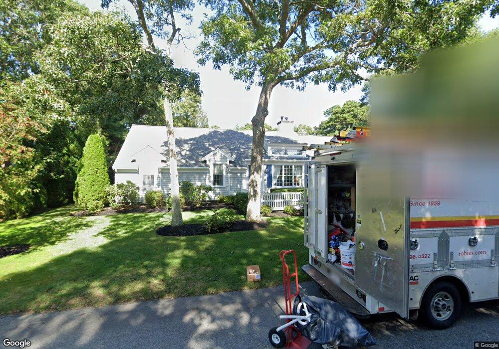
189 Kilkore Dr Barnstable, MA 02601
Estimated Value: $656,403 - $703,000
3
Beds
2
Baths
1,164
Sq Ft
$589/Sq Ft
Est. Value
About This Home
This home is located at 189 Kilkore Dr, Barnstable, MA 02601 and is currently estimated at $685,601, approximately $589 per square foot. 189 Kilkore Dr is a home located in Barnstable County with nearby schools including Barnstable United Elementary School, West Barnstable Elementary School, and Barnstable Intermediate School.
Ownership History
Date
Name
Owned For
Owner Type
Purchase Details
Closed on
Jun 29, 2022
Sold by
Kiely Brian R
Bought by
Brian R Kiely 2022 Irt
Current Estimated Value
Purchase Details
Closed on
Aug 20, 2015
Sold by
Kiely Brian R
Bought by
Anita K Kiely T
Purchase Details
Closed on
Feb 2, 2001
Sold by
Nantucket Cobblestone
Bought by
Murphy Eleanor
Home Financials for this Owner
Home Financials are based on the most recent Mortgage that was taken out on this home.
Original Mortgage
$178,500
Interest Rate
7.14%
Mortgage Type
Purchase Money Mortgage
Create a Home Valuation Report for This Property
The Home Valuation Report is an in-depth analysis detailing your home's value as well as a comparison with similar homes in the area
Home Values in the Area
Average Home Value in this Area
Purchase History
| Date | Buyer | Sale Price | Title Company |
|---|---|---|---|
| Brian R Kiely 2022 Irt | -- | None Available | |
| Kiely Brian R | -- | None Available | |
| Kiely Brian | -- | None Available | |
| Anita K Kiely T | $340,000 | -- | |
| Murphy Eleanor | $255,000 | -- |
Source: Public Records
Mortgage History
| Date | Status | Borrower | Loan Amount |
|---|---|---|---|
| Previous Owner | Murphy Eleanor | $178,000 | |
| Previous Owner | Murphy Eleanor | $178,500 |
Source: Public Records
Tax History Compared to Growth
Tax History
| Year | Tax Paid | Tax Assessment Tax Assessment Total Assessment is a certain percentage of the fair market value that is determined by local assessors to be the total taxable value of land and additions on the property. | Land | Improvement |
|---|---|---|---|---|
| 2025 | $5,270 | $568,500 | $143,200 | $425,300 |
| 2024 | $5,105 | $564,100 | $143,200 | $420,900 |
| 2023 | $4,723 | $493,500 | $130,200 | $363,300 |
| 2022 | $4,797 | $414,600 | $96,400 | $318,200 |
| 2021 | $4,245 | $356,400 | $96,400 | $260,000 |
| 2020 | $4,810 | $390,100 | $127,300 | $262,800 |
| 2019 | $4,510 | $358,500 | $135,000 | $223,500 |
| 2018 | $4,061 | $338,700 | $157,300 | $181,400 |
| 2017 | $3,956 | $329,900 | $157,300 | $172,600 |
| 2016 | $3,934 | $335,400 | $162,800 | $172,600 |
| 2015 | $3,338 | $307,500 | $153,600 | $153,900 |
Source: Public Records
Map
Nearby Homes
- 545 Lincoln Road Extension
- 4 Square Rigger Ln
- 15 Square Rigger Ln
- 69 Schooner Ln
- 73 Brant Way
- 28 Vandermint Ln
- 800 Bearse's Unit 1WD
- 2 Longview Dr
- 800 Bearses Way Unit 4EE
- 800 Bearses Way Unit 1WD
- 800 Bearses Way Unit 5SD
- 720 Pitchers Way Unit 48
- 1029 Iyannough Rd Unit 9B
- 1029 Iyannough Rd Unit B BLDG 8
- 1029 Iyannough Rd Unit 4C
- 1029 Iyannough Rd Unit C BLDG 4
- 270 Old Strawberry Hill Rd
- 298 Oakland Rd
- 296 Lincoln Rd
- 7 Delta St