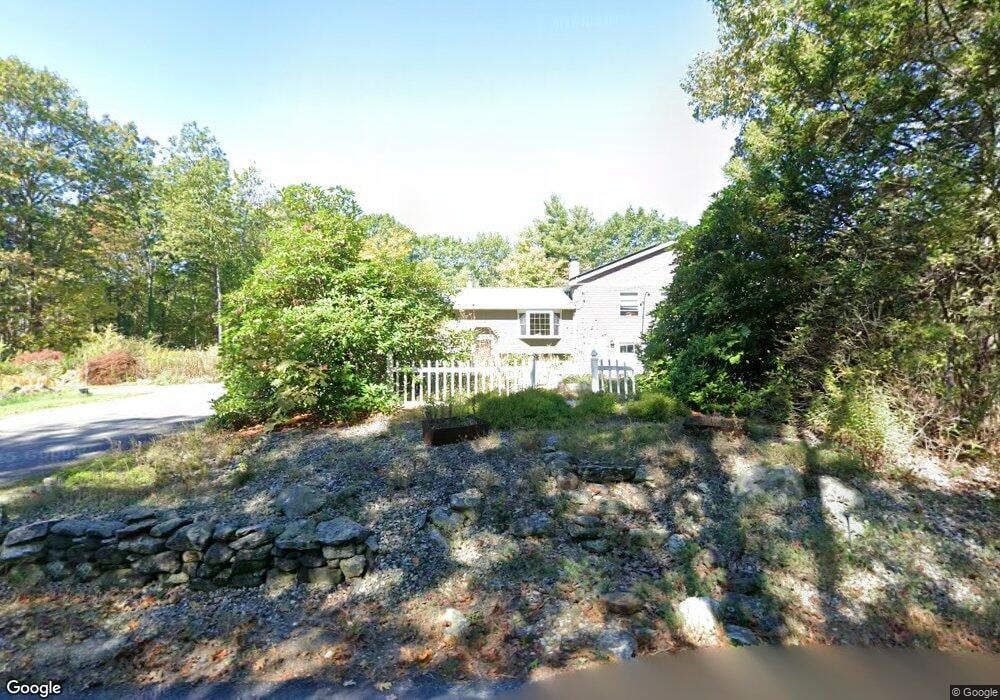
189 Knower Rd Westminster, MA 01473
Estimated Value: $505,000 - $703,000
4
Beds
3
Baths
2,168
Sq Ft
$293/Sq Ft
Est. Value
About This Home
This home is located at 189 Knower Rd, Westminster, MA 01473 and is currently estimated at $635,719, approximately $293 per square foot. 189 Knower Rd is a home located in Worcester County with nearby schools including Oakmont Regional High School.
Ownership History
Date
Name
Owned For
Owner Type
Purchase Details
Closed on
Dec 28, 2016
Sold by
Carignan Greg and Carignan Erin
Bought by
Carignan Lt
Current Estimated Value
Purchase Details
Closed on
Sep 22, 2016
Sold by
Carignan Lt
Bought by
Carignan Greg B and Carignan Erin C
Purchase Details
Closed on
Oct 23, 2015
Sold by
Carignan Greg B and Carignan Erin C
Bought by
Carignan Lt and Carignan Erin
Purchase Details
Closed on
Aug 30, 2000
Sold by
Est Bryson Robert S and Bryson Margaret T
Bought by
Carignan Greg B and Dugan Erin C
Create a Home Valuation Report for This Property
The Home Valuation Report is an in-depth analysis detailing your home's value as well as a comparison with similar homes in the area
Home Values in the Area
Average Home Value in this Area
Purchase History
| Date | Buyer | Sale Price | Title Company |
|---|---|---|---|
| Carignan Lt | -- | -- | |
| Carignan Greg B | -- | -- | |
| Carignan Lt | -- | -- | |
| Carignan Greg B | $150,000 | -- |
Source: Public Records
Mortgage History
| Date | Status | Borrower | Loan Amount |
|---|---|---|---|
| Previous Owner | Carignan Greg B | $156,800 | |
| Previous Owner | Carignan Greg B | $136,000 |
Source: Public Records
Tax History
| Year | Tax Paid | Tax Assessment Tax Assessment Total Assessment is a certain percentage of the fair market value that is determined by local assessors to be the total taxable value of land and additions on the property. | Land | Improvement |
|---|---|---|---|---|
| 2025 | $7,076 | $575,300 | $124,000 | $451,300 |
| 2024 | $6,741 | $549,800 | $124,000 | $425,800 |
| 2023 | $6,493 | $497,200 | $115,900 | $381,300 |
| 2022 | $6,374 | $403,400 | $100,700 | $302,700 |
| 2021 | $6,253 | $373,100 | $87,700 | $285,400 |
| 2020 | $6,104 | $347,800 | $79,600 | $268,200 |
| 2019 | $6,099 | $334,200 | $66,000 | $268,200 |
| 2018 | $4,255 | $229,400 | $66,000 | $163,400 |
| 2017 | $3,585 | $197,100 | $66,000 | $131,100 |
| 2016 | $3,549 | $189,000 | $54,900 | $134,100 |
| 2015 | $3,496 | $184,500 | $54,900 | $129,600 |
| 2014 | $3,502 | $184,500 | $54,900 | $129,600 |
Source: Public Records
Map
Nearby Homes
- 84 Minott Rd
- 0 Minott Rd
- 5 Kurikka Place
- 38 Knower Rd
- 21 Davis Rd
- 9 Knower Rd
- 29 Dawley Rd
- 17 Leominster St
- 97 Worcester Rd
- 2 Seaver St
- 0 Worcester Rd Unit 73326124
- Lot 6 Shady Ave
- Lot 3 Sunset Rd
- Lot 5 Sunset Rd
- 100A W Main St
- 61 Shady Ave
- 25 Sunset Rd
- 224 Worcester Rd Unit B
- 224 Worcester Rd
- 435 Partridge St
Your Personal Tour Guide
Ask me questions while you tour the home.