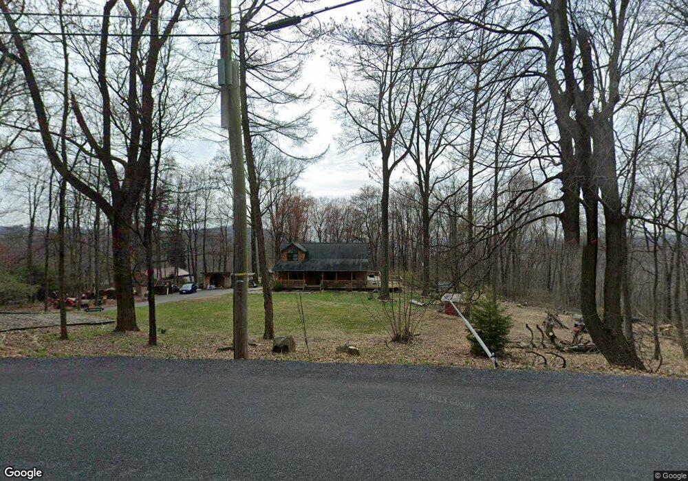
189 Landis Store Rd Boyertown, PA 19512
Estimated Value: $469,385 - $551,000
3
Beds
2
Baths
2,156
Sq Ft
$238/Sq Ft
Est. Value
About This Home
This home is located at 189 Landis Store Rd, Boyertown, PA 19512 and is currently estimated at $512,096, approximately $237 per square foot. 189 Landis Store Rd is a home located in Berks County with nearby schools including Brandywine Heights Elementary School, Brandywine Intermediate School, and Brandywine Heights High School.
Ownership History
Date
Name
Owned For
Owner Type
Purchase Details
Closed on
Sep 30, 2024
Sold by
Nolden Christina L
Bought by
Nolden Richard C
Current Estimated Value
Home Financials for this Owner
Home Financials are based on the most recent Mortgage that was taken out on this home.
Original Mortgage
$374,000
Outstanding Balance
$369,871
Interest Rate
6.09%
Mortgage Type
New Conventional
Estimated Equity
$142,225
Purchase Details
Closed on
Dec 11, 2009
Sold by
Collis John K
Bought by
Nolden Ii Richard C and Nolden Christina L
Home Financials for this Owner
Home Financials are based on the most recent Mortgage that was taken out on this home.
Original Mortgage
$281,801
Interest Rate
5%
Mortgage Type
FHA
Create a Home Valuation Report for This Property
The Home Valuation Report is an in-depth analysis detailing your home's value as well as a comparison with similar homes in the area
Home Values in the Area
Average Home Value in this Area
Purchase History
| Date | Buyer | Sale Price | Title Company |
|---|---|---|---|
| Nolden Richard C | $50,000 | None Listed On Document | |
| Nolden Ii Richard C | $287,000 | None Available |
Source: Public Records
Mortgage History
| Date | Status | Borrower | Loan Amount |
|---|---|---|---|
| Open | Nolden Richard C | $374,000 | |
| Previous Owner | Nolden Ii Richard C | $281,801 |
Source: Public Records
Tax History Compared to Growth
Tax History
| Year | Tax Paid | Tax Assessment Tax Assessment Total Assessment is a certain percentage of the fair market value that is determined by local assessors to be the total taxable value of land and additions on the property. | Land | Improvement |
|---|---|---|---|---|
| 2025 | $2,185 | $205,900 | $54,300 | $151,600 |
| 2024 | $9,426 | $205,900 | $54,300 | $151,600 |
| 2023 | $9,103 | $205,900 | $54,300 | $151,600 |
| 2022 | $8,601 | $199,200 | $54,300 | $144,900 |
| 2021 | $8,533 | $199,200 | $54,300 | $144,900 |
| 2020 | $8,366 | $199,200 | $54,300 | $144,900 |
| 2019 | $8,257 | $199,200 | $54,300 | $144,900 |
| 2018 | $8,146 | $199,200 | $54,300 | $144,900 |
| 2017 | $7,972 | $199,200 | $54,300 | $144,900 |
| 2016 | $1,507 | $199,200 | $54,300 | $144,900 |
| 2015 | $1,507 | $199,200 | $54,300 | $144,900 |
| 2014 | $1,507 | $199,200 | $54,300 | $144,900 |
Source: Public Records
Map
Nearby Homes
- 38 Lutz Rd
- 4 Baldy Hill Rd
- 454 Landis Store Rd
- 16 Birch Dr
- 39 Lehmann Ln
- 139 Mine Rd
- 637 Forgedale Rd
- 257 Dale Rd
- 12 Lehland Dr
- 38 Squaw Cir
- 867 Huffs Church Rd
- 2131 Weisstown Rd
- 0 Forgedale Rd Unit PABK2063612
- 483 Water St
- 22 Sugar Maple Rd
- 131 Stauffer Rd
- 290 Kulps Rd
- 129 Stauffer Rd
- 127 Stauffer Rd
- 125 Stauffer Rd
- 197 Landis Store Rd
- 188 Landis Store Rd
- 200 Landis Store Rd
- 199 Landis Store Rd
- 206 Landis Store Rd
- 166 Landis Store Rd
- 155 Landis Store Rd
- 10 Poplar Dr
- 10 Poplar Dr
- 214 Landis Store Rd
- 210 Landis Store Rd
- 225 Landis Store Rd
- 241 Landis Store Rd
- 220 Landis Store Rd
- 38 Crag Ln
- 224 Landis Store Rd
- 135 Landis Store Rd
- 253 Landis Store Rd
- 80 Poplar Dr
- 40 Poplar Dr