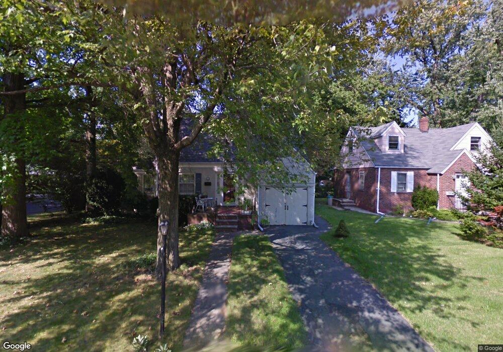
189 Lexington Ave Cresskill, NJ 07626
Estimated Value: $659,946 - $990,000
--
Bed
--
Bath
1,126
Sq Ft
$706/Sq Ft
Est. Value
About This Home
This home is located at 189 Lexington Ave, Cresskill, NJ 07626 and is currently estimated at $794,987, approximately $706 per square foot. 189 Lexington Ave is a home located in Bergen County with nearby schools including Cresskill High School.
Ownership History
Date
Name
Owned For
Owner Type
Purchase Details
Closed on
Mar 21, 2006
Sold by
Walsh Maria Ann
Bought by
Romano Peter and Capozzi Debra
Current Estimated Value
Home Financials for this Owner
Home Financials are based on the most recent Mortgage that was taken out on this home.
Original Mortgage
$344,000
Outstanding Balance
$195,447
Interest Rate
6.26%
Estimated Equity
$599,540
Purchase Details
Closed on
Nov 20, 1996
Sold by
Cioffi Vincent J
Bought by
Romano Peter and Romano Debra Capozzi
Home Financials for this Owner
Home Financials are based on the most recent Mortgage that was taken out on this home.
Original Mortgage
$158,000
Interest Rate
7.75%
Create a Home Valuation Report for This Property
The Home Valuation Report is an in-depth analysis detailing your home's value as well as a comparison with similar homes in the area
Home Values in the Area
Average Home Value in this Area
Purchase History
| Date | Buyer | Sale Price | Title Company |
|---|---|---|---|
| Romano Peter | $430,000 | -- | |
| Romano Peter | $175,000 | -- |
Source: Public Records
Mortgage History
| Date | Status | Borrower | Loan Amount |
|---|---|---|---|
| Open | Romano Peter | $344,000 | |
| Previous Owner | Romano Peter | $158,000 |
Source: Public Records
Tax History Compared to Growth
Tax History
| Year | Tax Paid | Tax Assessment Tax Assessment Total Assessment is a certain percentage of the fair market value that is determined by local assessors to be the total taxable value of land and additions on the property. | Land | Improvement |
|---|---|---|---|---|
| 2025 | $9,805 | $465,800 | $344,400 | $121,400 |
| 2024 | $9,409 | $426,300 | $309,600 | $116,700 |
| 2023 | $9,130 | $405,400 | $292,100 | $113,300 |
| 2022 | $9,130 | $379,300 | $270,700 | $108,600 |
| 2021 | $8,996 | $368,400 | $263,200 | $105,200 |
| 2020 | $8,704 | $357,900 | $254,700 | $103,200 |
| 2019 | $8,482 | $352,400 | $251,200 | $101,200 |
| 2018 | $5,867 | $348,000 | $248,200 | $99,800 |
| 2017 | $7,995 | $293,700 | $196,800 | $96,900 |
| 2016 | $7,757 | $293,700 | $196,800 | $96,900 |
| 2015 | $7,516 | $293,700 | $196,800 | $96,900 |
| 2014 | $7,290 | $293,700 | $196,800 | $96,900 |
Source: Public Records
Map
Nearby Homes
- 41 Monument Place
- 15 Burns Place
- 35 Wolcott Rd
- 72 Roosevelt St
- 279 Jefferson Ave
- 48 Colonial Pkwy
- 254 Concord St
- 5 Campi Ct
- 7 Burton Place
- 15 Laurel Ave
- 181 5th St
- 91 Madison Ave
- 126 Grant Ave
- 156 E Linden Ave
- 120 Larch Ave
- 136 Elm St
- 149 Heatherhill Rd
- 139 Stonegate Trail
- 13 Poplar St
- 119 Stonegate Trail
- 183 Lexington Ave
- 177 Lexington Ave
- 447 12th St
- 448 12th St
- 447 11th St
- 203 Lexington Ave
- 453 12th St
- 453 11th St
- 458 12th St
- 211 Lexington Ave
- 418 Knickerbocker Rd
- 200 Lexington Ave
- 463 12th St
- 424 Knickerbocker Rd
- 165 Lexington Ave
- 212 Lexington Ave
- 487 12th St
- 430 Knickerbocker Rd
- 162 Lexington Ave
- 460 12th St