189 Mason Ln Statesville, NC 28625
Estimated Value: $313,000 - $391,488
3
Beds
2
Baths
1,456
Sq Ft
$237/Sq Ft
Est. Value
About This Home
This home is located at 189 Mason Ln, Statesville, NC 28625 and is currently estimated at $345,622, approximately $237 per square foot. 189 Mason Ln is a home located in Iredell County with nearby schools including Central Elementary School, North Iredell Middle School, and North Iredell High School.
Ownership History
Date
Name
Owned For
Owner Type
Purchase Details
Closed on
Nov 30, 2006
Sold by
Moose Billy R
Bought by
Taylor Robert C
Current Estimated Value
Home Financials for this Owner
Home Financials are based on the most recent Mortgage that was taken out on this home.
Original Mortgage
$32,400
Outstanding Balance
$19,393
Interest Rate
6.33%
Mortgage Type
Purchase Money Mortgage
Estimated Equity
$326,229
Purchase Details
Closed on
Dec 7, 2004
Sold by
Huffman Richard D and Huffman Mary D
Bought by
Taylor Tommy A and Taylor Sarah
Create a Home Valuation Report for This Property
The Home Valuation Report is an in-depth analysis detailing your home's value as well as a comparison with similar homes in the area
Home Values in the Area
Average Home Value in this Area
Purchase History
| Date | Buyer | Sale Price | Title Company |
|---|---|---|---|
| Taylor Robert C | $162,500 | Bb&T | |
| Taylor Tommy A | -- | -- |
Source: Public Records
Mortgage History
| Date | Status | Borrower | Loan Amount |
|---|---|---|---|
| Open | Taylor Robert C | $32,400 |
Source: Public Records
Tax History Compared to Growth
Tax History
| Year | Tax Paid | Tax Assessment Tax Assessment Total Assessment is a certain percentage of the fair market value that is determined by local assessors to be the total taxable value of land and additions on the property. | Land | Improvement |
|---|---|---|---|---|
| 2024 | $1,779 | $281,210 | $206,220 | $74,990 |
| 2023 | $1,779 | $281,210 | $206,220 | $74,990 |
| 2022 | $1,560 | $229,480 | $176,760 | $52,720 |
| 2021 | $1,552 | $229,480 | $176,760 | $52,720 |
| 2020 | $1,552 | $229,480 | $176,760 | $52,720 |
| 2019 | $1,529 | $229,480 | $176,760 | $52,720 |
| 2018 | $1,475 | $229,490 | $176,760 | $52,730 |
| 2017 | $1,475 | $229,490 | $176,760 | $52,730 |
| 2016 | $1,475 | $229,490 | $176,760 | $52,730 |
| 2015 | $1,475 | $229,490 | $176,760 | $52,730 |
| 2014 | $1,411 | $235,570 | $176,760 | $58,810 |
Source: Public Records
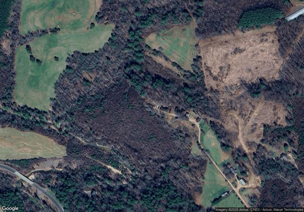
Map
Nearby Homes
- 187 Newland Ln
- 4268 Wilkesboro Hwy
- 164 Vance Farm Dr
- 306 Mountain View Rd
- Lot 22 Vance Farm Dr
- 648 Dobson Farm Rd
- 218 Mountain View Rd
- 122 Myrtle Rd
- 00 Hilltop Dr Unit 14
- 00 Hilltop Dr
- 00 Hilltop Dr Unit 13
- 188 Tobacco Rd
- 112 Triton Dr
- 212 Hill Farm Rd
- 153 Mcgregor Ln
- 122 Arrington Rd
- 122 Arrington Rd Unit 7
- 166 Cheryls Pass None
- 638 Lackey Mountain Rd
- 136 Mccarran Trail
- 140 Mason Ln
- 310 Damascus Church Rd
- 000 Damascus Church Rd
- 166 Damascus Church Rd
- 300 Damascus Church Rd
- 240 Damascus Church Rd
- 202 Damascus Church Rd
- 317 Damascus Church Rd
- 178 Damascus Church Rd
- 6AC Newland Ln
- 160 Hannah Rd
- 166 Hannah Rd
- 156 Hannah Rd
- 112 Barnes Airship Dr
- 175 Damascus Church Rd
- 187 Hannah Rd
- 156 Damascus Church Rd
- 169 Damascus Church Rd
- 169 Damascus Church Rd
- 369 Damascus Church Rd