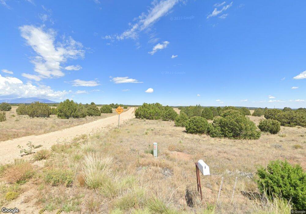
189 Mohawk Cir Walsenburg, CO 81089
Estimated Value: $191,000 - $402,000
4
Beds
3
Baths
1,818
Sq Ft
$161/Sq Ft
Est. Value
About This Home
This home is located at 189 Mohawk Cir, Walsenburg, CO 81089 and is currently estimated at $292,199, approximately $160 per square foot. 189 Mohawk Cir is a home located in Huerfano County with nearby schools including Walsenburg Jr. Sr. High School.
Ownership History
Date
Name
Owned For
Owner Type
Purchase Details
Closed on
Feb 26, 2009
Sold by
Us Bank National Association
Bought by
Earnest James M and Earnest Catherine R
Current Estimated Value
Home Financials for this Owner
Home Financials are based on the most recent Mortgage that was taken out on this home.
Original Mortgage
$58,500
Interest Rate
5.21%
Mortgage Type
Balloon
Purchase Details
Closed on
Aug 15, 2005
Sold by
Winstead Daniel K
Bought by
Maraalis Bruce B
Create a Home Valuation Report for This Property
The Home Valuation Report is an in-depth analysis detailing your home's value as well as a comparison with similar homes in the area
Home Values in the Area
Average Home Value in this Area
Purchase History
| Date | Buyer | Sale Price | Title Company |
|---|---|---|---|
| Earnest James M | $78,000 | Security Title | |
| Maraalis Bruce B | -- | None Available |
Source: Public Records
Mortgage History
| Date | Status | Borrower | Loan Amount |
|---|---|---|---|
| Closed | Earnest James M | $58,500 |
Source: Public Records
Tax History Compared to Growth
Tax History
| Year | Tax Paid | Tax Assessment Tax Assessment Total Assessment is a certain percentage of the fair market value that is determined by local assessors to be the total taxable value of land and additions on the property. | Land | Improvement |
|---|---|---|---|---|
| 2024 | $1,080 | $13,088 | $1,479 | $11,609 |
| 2023 | $1,073 | $13,088 | $1,479 | $11,609 |
| 2022 | $902 | $10,850 | $1,037 | $9,813 |
| 2021 | $973 | $11,162 | $1,067 | $10,095 |
| 2020 | $778 | $9,819 | $943 | $8,876 |
| 2019 | $786 | $9,819 | $943 | $8,876 |
| 2018 | $771 | $9,928 | $988 | $8,940 |
| 2017 | $760 | $9,928 | $988 | $8,940 |
| 2016 | $858 | $11,681 | $1,137 | $10,544 |
| 2015 | $868 | $11,681 | $1,137 | $10,544 |
| 2014 | $868 | $12,194 | $1,166 | $11,028 |
Source: Public Records
Map
Nearby Homes
- 3225 County Road 510
- Lot 2 County Road 510
- 1036 Navajo Rd
- TBD Lot 133 Navajo Ranch Resort
- Lot 148 Navajo Ranch Resort
- 295 Cherokee Dr
- 0 Comanche Dr Unit 102
- 536 Seneca Cir
- Lot 136 Mohawk Place
- Lot 116 Comanche Dr
- Tbd Navajo Ranch Resorts Unit 3 145
- 0 Navajo Ranch Resorts 2 Lot 133 Unit 25-1126
- TBD Lot 133 Nrr 2
- 388 Arapahoe Dr
- TBD Comanche Dr
- 96 Seneca Cir
- Tbd Comanche Drive 102
- 2592 Comanche Dr Unit 50A
- 25 Comanche Dr
- 2000 Comanche Dr
- 3211 County Road 510
- 1188 Cherokee Dr Unit Navajo Resorts Lot 2
- 1188 Cherokee Dr
- 1094 Cherokee Dr
- TBD County Rd 510
- TBD County Rd 510
- TBD County Rd 510
- TBD Cherokee Dr Unit 18
- 1282 Cherokee Dr
- 0 County Road 510
- 3251 County Rd 615 Unit n/a
- Lot 89 Navajo Rd Unit 89
- Lot 89 Navajo Rd
- 1376 Cherokee Dr
- Lot 96 Navajo Ranch Resort Unit 96
- 0 Navajo Rd Unit 6677508
- 0 Navajo Rd Unit REC1943153
- 000 Navajo Rd
- 0 Navajo Rd Unit 135 & 136 F 3 15-582
- 0 Navajo Rd Unit 1/96 10-251
