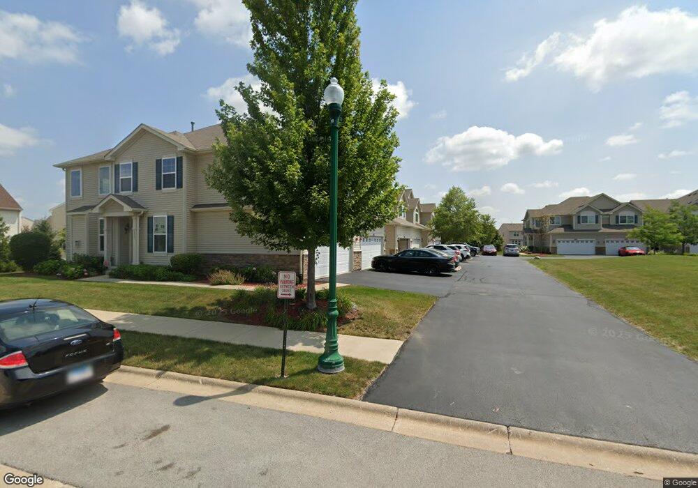
189 Owen St Unit 10-6 Matteson, IL 60443
Old Matteson NeighborhoodEstimated Value: $277,304 - $300,000
2
Beds
2
Baths
1,314
Sq Ft
$218/Sq Ft
Est. Value
About This Home
This home is located at 189 Owen St Unit 10-6, Matteson, IL 60443 and is currently estimated at $286,076, approximately $217 per square foot. 189 Owen St Unit 10-6 is a home located in Cook County with nearby schools including Colin Powell Middle School and Southland College Prep.
Ownership History
Date
Name
Owned For
Owner Type
Purchase Details
Closed on
Jun 17, 2024
Sold by
Lambert Carrie Lynn
Bought by
Dillard Aisha
Current Estimated Value
Home Financials for this Owner
Home Financials are based on the most recent Mortgage that was taken out on this home.
Original Mortgage
$258,236
Outstanding Balance
$254,598
Interest Rate
6.5%
Mortgage Type
FHA
Estimated Equity
$31,478
Purchase Details
Closed on
Apr 24, 2017
Sold by
Calatlantic Group Inc
Bought by
Lambert Carrie Lynn
Home Financials for this Owner
Home Financials are based on the most recent Mortgage that was taken out on this home.
Original Mortgage
$164,000
Interest Rate
4.1%
Mortgage Type
New Conventional
Create a Home Valuation Report for This Property
The Home Valuation Report is an in-depth analysis detailing your home's value as well as a comparison with similar homes in the area
Home Values in the Area
Average Home Value in this Area
Purchase History
| Date | Buyer | Sale Price | Title Company |
|---|---|---|---|
| Dillard Aisha | $263,000 | Fidelity National Title | |
| Lambert Carrie Lynn | $175,000 | Calatlantic Title |
Source: Public Records
Mortgage History
| Date | Status | Borrower | Loan Amount |
|---|---|---|---|
| Open | Dillard Aisha | $258,236 | |
| Previous Owner | Lambert Carrie Lynn | $164,000 |
Source: Public Records
Tax History Compared to Growth
Tax History
| Year | Tax Paid | Tax Assessment Tax Assessment Total Assessment is a certain percentage of the fair market value that is determined by local assessors to be the total taxable value of land and additions on the property. | Land | Improvement |
|---|---|---|---|---|
| 2024 | $8,159 | $23,000 | $1,830 | $21,170 |
| 2023 | $6,115 | $23,000 | $1,830 | $21,170 |
| 2022 | $6,115 | $14,843 | $1,579 | $13,264 |
| 2021 | $6,221 | $14,842 | $1,578 | $13,264 |
| 2020 | $6,131 | $14,842 | $1,578 | $13,264 |
| 2019 | $6,794 | $15,864 | $1,435 | $14,429 |
| 2018 | $8,542 | $15,864 | $1,435 | $14,429 |
| 2017 | $8,305 | $15,864 | $1,435 | $14,429 |
Source: Public Records
Map
Nearby Homes
- 175 Owen St
- 202 Owen St
- 192 Owen St
- 246 Owen St
- 72 Kenneth St
- 98 Lawrence Ln
- 340 Maryview Ct
- 255 Central Ave
- 312 Grafton Place
- 322 Central Ave
- 5628 Crestwood Rd
- 5728 Woodgate Dr
- 116 Cloverleaf Rd
- 111 Deerpath Rd
- 5808 Allemong Dr
- 4500 203rd St
- 5838 Woodgate Dr
- 856 Notre Dame Dr
- 153 Treehouse Rd
- 135 Treehouse Rd