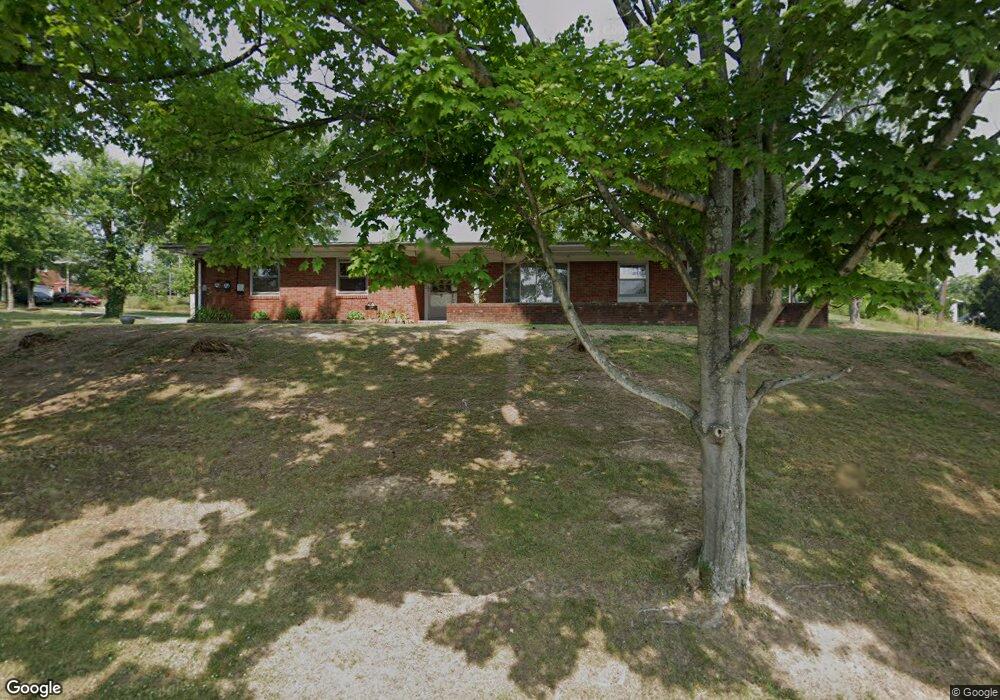
189 Pershing Rd Marietta, OH 45750
Estimated Value: $197,703 - $218,000
3
Beds
2
Baths
1,500
Sq Ft
$136/Sq Ft
Est. Value
About This Home
This home is located at 189 Pershing Rd, Marietta, OH 45750 and is currently estimated at $204,676, approximately $136 per square foot. 189 Pershing Rd is a home located in Washington County with nearby schools including Marietta High School, Veritas Classical Academy, and St. Mary Catholic School.
Ownership History
Date
Name
Owned For
Owner Type
Purchase Details
Closed on
Apr 11, 2008
Sold by
Iams Jack
Bought by
Duff Duane E and Duff Christina G
Current Estimated Value
Home Financials for this Owner
Home Financials are based on the most recent Mortgage that was taken out on this home.
Original Mortgage
$60,000
Interest Rate
5.66%
Mortgage Type
Purchase Money Mortgage
Purchase Details
Closed on
Oct 3, 2006
Sold by
Gramkow Joan J
Bought by
Gramkow Joan J
Create a Home Valuation Report for This Property
The Home Valuation Report is an in-depth analysis detailing your home's value as well as a comparison with similar homes in the area
Home Values in the Area
Average Home Value in this Area
Purchase History
| Date | Buyer | Sale Price | Title Company |
|---|---|---|---|
| Duff Duane E | $90,600 | Attorney | |
| Gramkow Joan J | -- | None Available |
Source: Public Records
Mortgage History
| Date | Status | Borrower | Loan Amount |
|---|---|---|---|
| Closed | Duff Duane E | $60,000 |
Source: Public Records
Tax History Compared to Growth
Tax History
| Year | Tax Paid | Tax Assessment Tax Assessment Total Assessment is a certain percentage of the fair market value that is determined by local assessors to be the total taxable value of land and additions on the property. | Land | Improvement |
|---|---|---|---|---|
| 2024 | $1,730 | $51,020 | $9,450 | $41,570 |
| 2023 | $1,730 | $51,020 | $9,450 | $41,570 |
| 2022 | $1,718 | $51,020 | $9,450 | $41,570 |
| 2021 | $1,888 | $34,470 | $14,650 | $19,820 |
| 2020 | $1,232 | $34,470 | $14,650 | $19,820 |
| 2019 | $1,230 | $34,470 | $14,650 | $19,820 |
| 2018 | $1,143 | $31,140 | $12,210 | $18,930 |
| 2017 | $1,141 | $31,140 | $12,210 | $18,930 |
| 2016 | $1,998 | $31,140 | $12,210 | $18,930 |
| 2015 | $1,207 | $31,510 | $12,580 | $18,930 |
| 2014 | $2,025 | $31,510 | $12,580 | $18,930 |
| 2013 | $1,222 | $31,510 | $12,580 | $18,930 |
Source: Public Records
Map
Nearby Homes
- 117 Clark St
- 211 Beaver St
- 101 Laramie Rd
- 977 Gilman Ave
- 204 Coventry Rd
- 101 High St
- 101 Victory Place
- 101 W Montgomery St
- 721 Front St
- 146 Riverview Dr
- 645 Pearl Street Extension
- 625 Front St
- 203 Marion St
- 213 E Montgomery St
- 202 Sacra Via St
- 701 3rd St
- 608 2nd St
- 619 3rd St
- 722 1/2 3rd St
- 417 Maple St
- 935 Lancaster St
- 937 Lancaster St
- 933 Lancaster St
- 939 Lancaster St
- 201 Pershing Rd
- 941 Lancaster St
- 943 Lancaster St
- 0 Kingman Rd Unit M240674
- 938 Lancaster St
- 932 Lancaster St
- 104 Doris Ave
- 940 Lancaster St
- 107 Doris Ave
- 936 Lancaster St
- 942 Lancaster St
- 917 Lancaster St
- 945 Lancaster St
- 913 Lancaster St
- 915 Lancaster St
- 949 Lancaster St