Estimated Value: $469,052 - $553,000
3
Beds
2
Baths
1,445
Sq Ft
$348/Sq Ft
Est. Value
About This Home
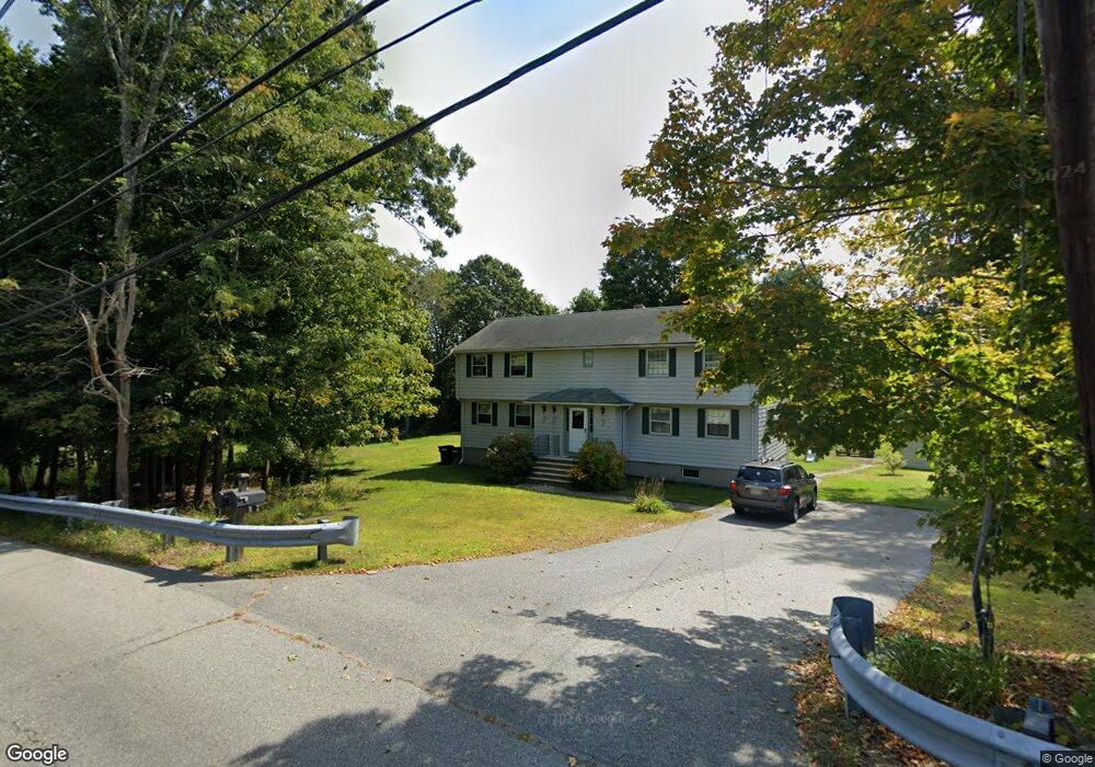
This home is located at 189 School St Unit L, Acton, MA 01720 and is currently estimated at $502,263, approximately $347 per square foot. 189 School St Unit L is a home located in Middlesex County with nearby schools including Acton-Boxborough Regional High School, Maynard Knowledge Beginnings, and The Imago School.
Ownership History
Date
Name
Owned For
Owner Type
Purchase Details
Closed on
Jan 21, 2011
Sold by
Kotanchik Judith R and Kotanchik James J
Bought by
Xie Xusong and Li Ze
Current Estimated Value
Home Financials for this Owner
Home Financials are based on the most recent Mortgage that was taken out on this home.
Original Mortgage
$180,000
Outstanding Balance
$121,776
Interest Rate
4.62%
Mortgage Type
Purchase Money Mortgage
Estimated Equity
$380,487
Create a Home Valuation Report for This Property
The Home Valuation Report is an in-depth analysis detailing your home's value as well as a comparison with similar homes in the area
Home Values in the Area
Average Home Value in this Area
Purchase History
| Date | Buyer | Sale Price | Title Company |
|---|---|---|---|
| Xie Xusong | $200,000 | -- |
Source: Public Records
Mortgage History
| Date | Status | Borrower | Loan Amount |
|---|---|---|---|
| Open | Xie Xusong | $180,000 |
Source: Public Records
Tax History Compared to Growth
Tax History
| Year | Tax Paid | Tax Assessment Tax Assessment Total Assessment is a certain percentage of the fair market value that is determined by local assessors to be the total taxable value of land and additions on the property. | Land | Improvement |
|---|---|---|---|---|
| 2025 | $5,766 | $336,200 | $0 | $336,200 |
| 2024 | $5,274 | $316,400 | $0 | $316,400 |
| 2023 | $4,969 | $283,000 | $0 | $283,000 |
| 2022 | $5,325 | $273,800 | $0 | $273,800 |
| 2021 | $5,078 | $251,000 | $0 | $251,000 |
| 2020 | $4,683 | $243,400 | $0 | $243,400 |
| 2019 | $4,750 | $245,200 | $0 | $245,200 |
| 2018 | $4,510 | $232,700 | $0 | $232,700 |
| 2017 | $4,167 | $218,600 | $0 | $218,600 |
| 2016 | $3,934 | $204,600 | $0 | $204,600 |
| 2015 | $3,778 | $198,300 | $0 | $198,300 |
| 2014 | $3,863 | $198,600 | $0 | $198,600 |
Source: Public Records
Map
Nearby Homes
- 2 Clover Hill Rd
- 118 Parker St Unit 16
- 5 Oakwood Rd
- 8 Laurel Ct
- 70 River St
- 128 Parker St Unit 3B
- 132 Parker St Unit G5
- 128 Audubon Dr
- 86 School St
- 12 Brewster Ln
- 40 High St
- 8 High St Unit G1
- 129 Main St Unit 129
- 129 Main St
- 131 Main St
- 169 Main St
- 65 Summit St
- 19 Railroad St Unit C2
- 1 Maillet Dr
- 70 Hillside Ave
- 189 School St Unit R
- 185 School St
- 16 Hillcrest Dr
- 193 School St Unit B
- 193 School St Unit A
- 193 School St
- 193 School St Unit 193
- 14 Hillcrest Dr
- 186 School St
- 12 Hillcrest Dr
- 18 Hillcrest Dr
- 183 School St
- 183 School St Unit A
- 183 School St Unit 183A
- 183 School St Unit Right
- 183 School St Unit Left
- 15 Hillcrest Dr
- 194 A School St Unit A,194
- 194 School St Unit B
- 194 School St Unit A