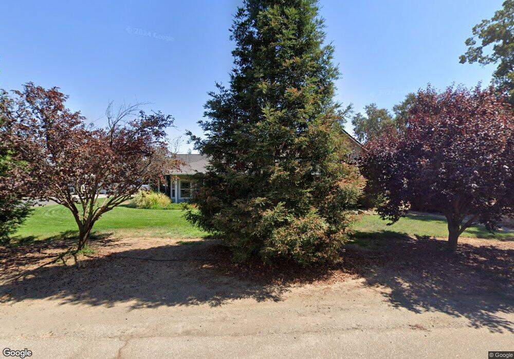
1890 2nd St Corning, CA 96021
Estimated Value: $484,000 - $596,000
Studio
--
Bath
2,446
Sq Ft
$220/Sq Ft
Est. Value
About This Home
This home is located at 1890 2nd St, Corning, CA 96021 and is currently estimated at $537,635, approximately $219 per square foot. 1890 2nd St is a home located in Tehama County with nearby schools including Kirkwood Elementary School and Corning High School.
Ownership History
Date
Name
Owned For
Owner Type
Purchase Details
Closed on
Feb 22, 2005
Sold by
Bryant Management & Leasing
Bought by
Hagan Bryan Jon and Hagan Maggie
Current Estimated Value
Home Financials for this Owner
Home Financials are based on the most recent Mortgage that was taken out on this home.
Original Mortgage
$332,000
Outstanding Balance
$167,750
Interest Rate
5.66%
Mortgage Type
Purchase Money Mortgage
Estimated Equity
$369,885
Purchase Details
Closed on
Jul 12, 2004
Sold by
Davis Michael
Bought by
Bryant Management & Leasing
Create a Home Valuation Report for This Property
The Home Valuation Report is an in-depth analysis detailing your home's value as well as a comparison with similar homes in the area
Purchase History
| Date | Buyer | Sale Price | Title Company |
|---|---|---|---|
| Hagan Bryan Jon | $415,000 | Chicago Title Co | |
| Bryant Management & Leasing | -- | -- |
Source: Public Records
Mortgage History
| Date | Status | Borrower | Loan Amount |
|---|---|---|---|
| Open | Hagan Bryan Jon | $332,000 | |
| Closed | Hagan Bryan Jon | $41,000 |
Source: Public Records
Tax History
| Year | Tax Paid | Tax Assessment Tax Assessment Total Assessment is a certain percentage of the fair market value that is determined by local assessors to be the total taxable value of land and additions on the property. | Land | Improvement |
|---|---|---|---|---|
| 2025 | $4,623 | $452,022 | $107,635 | $344,387 |
| 2023 | $4,626 | $452,022 | $107,635 | $344,387 |
| 2022 | $4,639 | $452,022 | $107,635 | $344,387 |
| 2021 | $4,181 | $410,929 | $97,850 | $313,079 |
| 2020 | $3,688 | $357,330 | $85,087 | $272,243 |
| 2019 | $3,455 | $340,314 | $81,035 | $259,279 |
| 2018 | $3,170 | $309,376 | $73,668 | $235,708 |
| 2017 | $2,907 | $281,251 | $66,971 | $214,280 |
| 2016 | $2,647 | $267,858 | $63,782 | $204,076 |
| 2015 | -- | $267,858 | $63,782 | $204,076 |
| 2014 | $2,306 | $232,921 | $55,463 | $177,458 |
Source: Public Records
Map
Nearby Homes
- 0 Capay Rd Unit 20250218
- 0 Capay Rd Unit SN25262438
- 0 Inghram Rd
- 2790 Foster Ave
- 22559 Meadowlark Ln
- 2946 Kirkwood Rd
- 22519 Olivewood Rd
- 24661 Rowland Ln
- 24525 Rowland Ln
- 2915 S 99w
- 2905 Harden Ave
- 2.94 ac. Malton Ave
- 3325 Hall Rd
- 24895 Post Ave
- 85 Malton Ave
- 3781 Columbia Ave
- 2854 Illinois Ave
- 3911 Columbia Ave
- 0 Loleta Ave Unit SN25184964
- 4019 Marguerite Ave
Your Personal Tour Guide
Ask me questions while you tour the home.