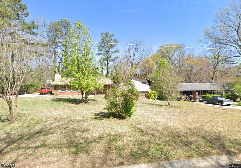
1890 Cox Dr Unit 5 Austell, GA 30168
Estimated Value: $266,000 - $358,000
3
Beds
2
Baths
1,725
Sq Ft
$175/Sq Ft
Est. Value
About This Home
This home is located at 1890 Cox Dr Unit 5, Austell, GA 30168 and is currently estimated at $301,851, approximately $174 per square foot. 1890 Cox Dr Unit 5 is a home located in Cobb County with nearby schools including Bryant Elementary School, Lindley Middle School, and Pebblebrook High School.
Ownership History
Date
Name
Owned For
Owner Type
Purchase Details
Closed on
Nov 16, 2000
Sold by
Grace Lynda D
Bought by
Metellus Francois and Metellus Marie
Current Estimated Value
Home Financials for this Owner
Home Financials are based on the most recent Mortgage that was taken out on this home.
Original Mortgage
$131,416
Outstanding Balance
$47,583
Interest Rate
7.82%
Mortgage Type
FHA
Estimated Equity
$254,268
Create a Home Valuation Report for This Property
The Home Valuation Report is an in-depth analysis detailing your home's value as well as a comparison with similar homes in the area
Home Values in the Area
Average Home Value in this Area
Purchase History
| Date | Buyer | Sale Price | Title Company |
|---|---|---|---|
| Metellus Francois | $132,500 | -- |
Source: Public Records
Mortgage History
| Date | Status | Borrower | Loan Amount |
|---|---|---|---|
| Open | Metellus Francois | $131,416 |
Source: Public Records
Tax History Compared to Growth
Tax History
| Year | Tax Paid | Tax Assessment Tax Assessment Total Assessment is a certain percentage of the fair market value that is determined by local assessors to be the total taxable value of land and additions on the property. | Land | Improvement |
|---|---|---|---|---|
| 2025 | $575 | $119,920 | $26,000 | $93,920 |
| 2024 | $578 | $119,920 | $26,000 | $93,920 |
| 2023 | $420 | $136,072 | $18,000 | $118,072 |
| 2022 | $485 | $88,856 | $10,800 | $78,056 |
| 2021 | $388 | $56,628 | $10,800 | $45,828 |
| 2020 | $1,270 | $56,628 | $10,800 | $45,828 |
| 2019 | $1,069 | $47,456 | $10,000 | $37,456 |
| 2018 | $946 | $41,832 | $9,600 | $32,232 |
| 2017 | $906 | $41,832 | $9,600 | $32,232 |
| 2016 | $653 | $31,608 | $9,600 | $22,008 |
| 2015 | $671 | $31,608 | $9,600 | $22,008 |
| 2014 | $767 | $34,640 | $0 | $0 |
Source: Public Records
Map
Nearby Homes
- 1972 Cox Dr Unit 5
- 1151 S Gordon Rd
- 2072 Woodbine Cir
- 6581 Coventry Point Unit 1
- 6445 Sherwood Trail
- 1784 Brandemere Dr Unit 3
- 6718 Roscommon Dr
- 6627 Coventry Point
- 1576 S Gordon Rd
- 2023 Lee Dr
- 6084 S Gordon Rd
- 6083 Oak Hill Dr
- 6651 Malvin Dr
- 0 Maxham Rd Unit 10652291
- 1550 Greenbrook Dr
- 1766 Blossom Ln
- 6243 David Ln SW
- 2414 Old Alabama Rd
- 1880 Cox Dr
- 1902 Cox Dr
- 1851 Creveis Rd
- 1891 Cox Dr
- 6410 S Gordon Rd SW
- 1903 Cox Dr
- 1701 Cox Dr
- 6400 S Gordon Rd
- 6410 S Gordon Rd
- 1915 Cox Dr
- 1870 Creveis Rd
- 1860 Creveis Rd Unit 5
- 6388 S Gordon
- 1831 Creveis Rd
- 6430 S Gordon Rd
- 1930 Cox Dr
- 1850 Creveis Rd
- 1931 Cox Dr
- 6440 S Gordon Rd
- 1830 Creveis Rd