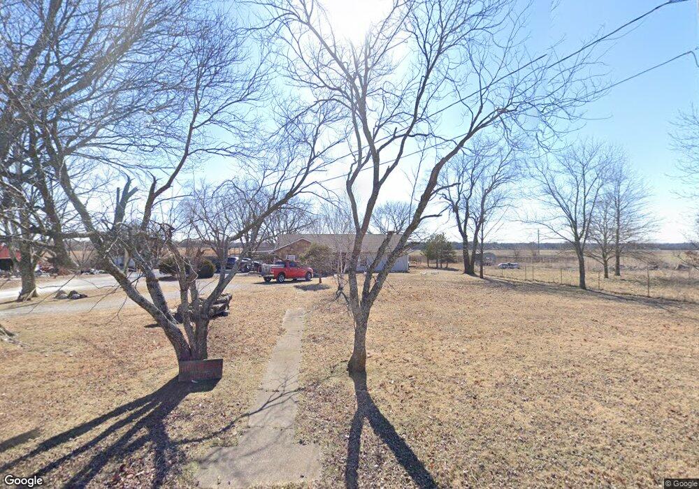
1890 E Fir Rd Carthage, MO 64836
Estimated Value: $215,000 - $413,000
Studio
--
Bath
1,527
Sq Ft
$197/Sq Ft
Est. Value
About This Home
This home is located at 1890 E Fir Rd, Carthage, MO 64836 and is currently estimated at $300,106, approximately $196 per square foot. 1890 E Fir Rd is a home with nearby schools including Carthage High School, St. Ann's Catholic School, and Victory Academy.
Ownership History
Date
Name
Owned For
Owner Type
Purchase Details
Closed on
Mar 10, 2020
Sold by
Newman Larry D and Newman Sharon K
Bought by
Lsn Land Llc
Current Estimated Value
Create a Home Valuation Report for This Property
The Home Valuation Report is an in-depth analysis detailing your home's value as well as a comparison with similar homes in the area
Purchase History
| Date | Buyer | Sale Price | Title Company |
|---|---|---|---|
| Lsn Land Llc | -- | None Available |
Source: Public Records
Tax History Compared to Growth
Tax History
| Year | Tax Paid | Tax Assessment Tax Assessment Total Assessment is a certain percentage of the fair market value that is determined by local assessors to be the total taxable value of land and additions on the property. | Land | Improvement |
|---|---|---|---|---|
| 2025 | $1,353 | $31,120 | $5,910 | $25,210 |
| 2024 | $1,353 | $28,920 | $5,910 | $23,010 |
| 2023 | $1,353 | $28,920 | $5,910 | $23,010 |
| 2022 | $1,335 | $28,640 | $5,910 | $22,730 |
| 2021 | $1,319 | $28,640 | $5,910 | $22,730 |
| 2020 | $1,237 | $25,810 | $5,910 | $19,900 |
| 2019 | $1,240 | $25,810 | $5,910 | $19,900 |
| 2018 | $1,228 | $25,590 | $0 | $0 |
| 2017 | $1,231 | $25,590 | $0 | $0 |
| 2016 | $1,290 | $26,910 | $0 | $0 |
Source: Public Records
Map
Nearby Homes
- 1720 E Fir Rd
- 11982 Gaiety Ln
- 2166 Noah's Ark Ln
- 1211 E Airport Dr
- 1314 Patrick Place
- 2515 S River St
- 2032 Alison St
- 925 Gene Taylor Dr
- 905 Durward Hall Dr
- 909 Durward Hall Dr
- TBD Lexie Ln
- 1431 Quail Place
- TBD George E Phelps Blvd
- 1814 Buena Vista Ave
- 1726 Buena Vista Ave
- 1924 S River St
- XXXX Clinton
- 1922 Southwood Ln
- 1647 Glenwood Place
- 1910 Wynwood Dr
- 1863 E Fir Rd
- 6045 County Lane 124
- 1933 E Fir Rd
- 6050 County Lane 124
- 1720 E Fir Rd
- 6150 County Lane 124
- 6155 County Lane 124
- 2119 E Fir Rd
- 1540 E Fir Rd
- 1540&1720 E Fir Rd
- 1718 E Fir Rd
- Xxx County Road 120
- 6120 County Road 120
- 1884 E Airport Dr
- 6170 County Road 120
- 11980 Gaiety Ln
- 11981 County Road 120
- 6461 County Lane 123
- 6481 County Lane 123
- 6401 County Lane 123