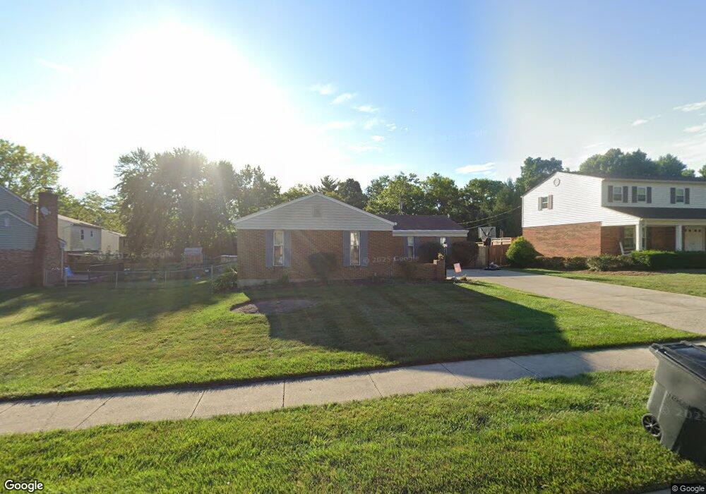
1890 Muskegon Dr Cincinnati, OH 45255
Estimated Value: $355,000 - $406,000
3
Beds
2
Baths
2,058
Sq Ft
$186/Sq Ft
Est. Value
About This Home
This home is located at 1890 Muskegon Dr, Cincinnati, OH 45255 and is currently estimated at $382,083, approximately $185 per square foot. 1890 Muskegon Dr is a home located in Hamilton County with nearby schools including Summit Elementary School, Nagel Middle School, and Anderson High School.
Ownership History
Date
Name
Owned For
Owner Type
Purchase Details
Closed on
Jul 18, 2003
Sold by
Merz Deborah N
Bought by
The Salvation Army
Current Estimated Value
Purchase Details
Closed on
Sep 24, 2001
Sold by
Bicknell Jeffrey E and Bicknell Frances L
Bought by
Merz Deborah N
Home Financials for this Owner
Home Financials are based on the most recent Mortgage that was taken out on this home.
Original Mortgage
$142,400
Interest Rate
6.92%
Create a Home Valuation Report for This Property
The Home Valuation Report is an in-depth analysis detailing your home's value as well as a comparison with similar homes in the area
Home Values in the Area
Average Home Value in this Area
Purchase History
| Date | Buyer | Sale Price | Title Company |
|---|---|---|---|
| The Salvation Army | $210,000 | -- | |
| Merz Deborah N | $178,000 | Classic Title Agency Inc |
Source: Public Records
Mortgage History
| Date | Status | Borrower | Loan Amount |
|---|---|---|---|
| Previous Owner | Merz Deborah N | $142,400 |
Source: Public Records
Tax History Compared to Growth
Tax History
| Year | Tax Paid | Tax Assessment Tax Assessment Total Assessment is a certain percentage of the fair market value that is determined by local assessors to be the total taxable value of land and additions on the property. | Land | Improvement |
|---|---|---|---|---|
| 2024 | $7,092 | $111,791 | $17,966 | $93,825 |
| 2023 | $6,657 | $111,791 | $17,966 | $93,825 |
| 2022 | $4,986 | $74,435 | $15,617 | $58,818 |
| 2021 | $4,958 | $74,435 | $15,617 | $58,818 |
| 2020 | $4,903 | $74,435 | $15,617 | $58,818 |
| 2019 | $4,799 | $65,874 | $13,822 | $52,052 |
| 2018 | $4,502 | $65,874 | $13,822 | $52,052 |
| 2017 | $4,303 | $65,874 | $13,822 | $52,052 |
| 2016 | $4,470 | $66,189 | $13,559 | $52,630 |
| 2015 | $4,302 | $66,189 | $13,559 | $52,630 |
| 2014 | $4,298 | $66,189 | $13,559 | $52,630 |
| 2013 | $4,162 | $67,540 | $13,836 | $53,704 |
Source: Public Records
Map
Nearby Homes
- 2051 Tall Pines Ln
- 1797 Muskegon Dr
- 463 Auxier Dr
- 1728 Rockhurst Ln
- 8486 Bethany Ln
- 1624 Pinebluff Ln
- 471 Sanctuary Way
- 473 Sanctuary Way
- 4172 Brandonmore Dr
- 475 Sanctuary Way
- 477 Sanctuary Way
- 477 Sanctuary Way Unit 23
- 8410 Kilkenny Dr
- 482 Sanctuary Way
- 486 Sanctuary Way
- 488 Sanctuary Way
- 2161 Knightsbridge Dr
- 490 Sanctuary Way
- 492 Sanctuary Way
- 494 Sanctuary Way
- 1882 Muskegon Dr
- 8687 Clough Pike
- 1898 Muskegon Dr
- 1874 Muskegon Dr
- 8695 Clough Pike
- 427 Clough Pike
- 1866 Muskegon Dr
- 1899 Muskegon Dr
- 1889 Muskegon Dr
- 1881 Muskegon Dr
- 1858 Muskegon Dr
- 4231 Brandonmore Dr
- 1877 Muskegon Dr
- 4235 Brandonmore Dr
- 8661 Clough Pike
- 1869 Muskegon Dr
- 1850 Muskegon Dr
- 4227 Brandonmore Dr
- 1863 Muskegon Dr
- 8653 Clough Pike