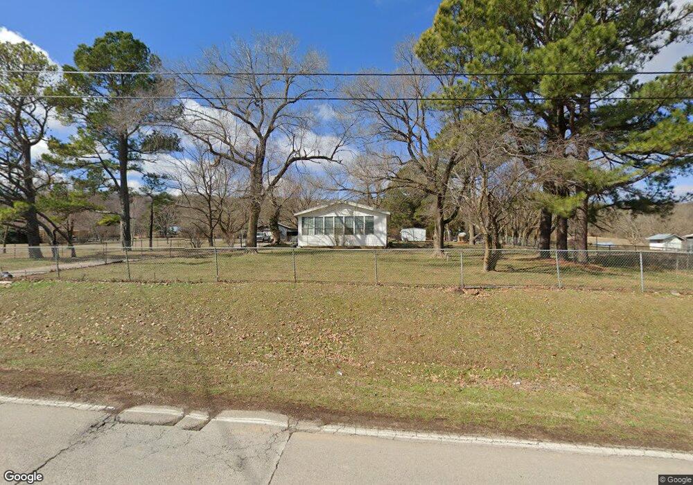
1890 N Monitor Rd Springdale, AR 72764
Estimated Value: $164,000 - $212,000
--
Bed
1
Bath
788
Sq Ft
$231/Sq Ft
Est. Value
About This Home
This home is located at 1890 N Monitor Rd, Springdale, AR 72764 and is currently estimated at $182,164, approximately $231 per square foot. 1890 N Monitor Rd is a home located in Washington County with nearby schools including Monitor Elementary School, Lakeside Junior High School, and Sonora Middle School.
Ownership History
Date
Name
Owned For
Owner Type
Purchase Details
Closed on
Aug 26, 2019
Sold by
Thomas Charles P and Thomas Brenda Michelle
Bought by
Bowers John and Bowers Karla J
Current Estimated Value
Home Financials for this Owner
Home Financials are based on the most recent Mortgage that was taken out on this home.
Original Mortgage
$88,369
Outstanding Balance
$77,828
Interest Rate
3.87%
Mortgage Type
FHA
Estimated Equity
$104,336
Purchase Details
Closed on
Jun 5, 2010
Bought by
Thomas P Charles P P and Thomas Brenda M
Purchase Details
Closed on
Oct 8, 1991
Bought by
Charles Thomas P and Charles Charles
Create a Home Valuation Report for This Property
The Home Valuation Report is an in-depth analysis detailing your home's value as well as a comparison with similar homes in the area
Home Values in the Area
Average Home Value in this Area
Purchase History
| Date | Buyer | Sale Price | Title Company |
|---|---|---|---|
| Bowers John | $90,000 | Realty Title & Closing Svcs | |
| Thomas P Charles P P | -- | -- | |
| Charles Thomas P | $21,000 | -- |
Source: Public Records
Mortgage History
| Date | Status | Borrower | Loan Amount |
|---|---|---|---|
| Open | Bowers John | $88,369 |
Source: Public Records
Tax History Compared to Growth
Tax History
| Year | Tax Paid | Tax Assessment Tax Assessment Total Assessment is a certain percentage of the fair market value that is determined by local assessors to be the total taxable value of land and additions on the property. | Land | Improvement |
|---|---|---|---|---|
| 2024 | $477 | $34,860 | $23,380 | $11,480 |
| 2023 | $525 | $34,860 | $23,380 | $11,480 |
| 2022 | $530 | $17,180 | $10,250 | $6,930 |
| 2021 | $530 | $17,180 | $10,250 | $6,930 |
| 2020 | $530 | $17,180 | $10,250 | $6,930 |
| 2019 | $217 | $11,230 | $6,880 | $4,350 |
| 2018 | $592 | $11,230 | $6,880 | $4,350 |
| 2017 | $586 | $11,230 | $6,880 | $4,350 |
| 2016 | $586 | $11,230 | $6,880 | $4,350 |
| 2015 | $586 | $11,230 | $6,880 | $4,350 |
| 2014 | $676 | $12,950 | $7,000 | $5,950 |
Source: Public Records
Map
Nearby Homes
- 3545 E Monitor Rd
- Tract 2 Mountain Rd
- 137 Woodcliff Rd
- 2497 Woodcliff Rd
- 843 Woodcliff Dr
- 1769 N Monitor Rd
- 109 Woodcliff Cir
- 2232 Presley Ln
- 2167 Sweetwater Ranch Ave
- 1278 Moody Ln
- 1950 Sweetwater Ranch Ave
- 1440 Tumbleweed Dr
- 2.57 Ac E Monitor Rd
- 2403 E Emma Ave
- 2377 E Emma Ave
- 4908 Elnora Ln
- 5.06 AC Old Wire Rd
- 0 Tract A E Monitor Rd
- 2901 Hattie Ln
- 5000 Elnora Ln
- 1950 N Monitor Rd
- 1830 N Monitor Rd
- 2014 N Monitor Rd
- 1778 N Monitor Rd
- 3200 Graves Ln
- 2044 N Monitor Rd
- 1834 N Monitor Rd
- 1732 N Monitor Rd
- 1717 N Monitor Rd
- 1687 N Monitor Rd
- 3055 Graves Ln
- 1652 N Monitor Rd
- 2154 N Mountain Rd
- 1580 N Monitor Rd
- 2201 N Mountain Rd
- 3543 E Monitor Rd
- 1536 N Monitor Rd
- 1541 N Monitor Rd
- 2248 N Mountain Rd
- 3580 E Monitor Rd