1890 Swint Rd Griffin, GA 30224
Spalding County NeighborhoodEstimated Value: $395,000 - $529,000
4
Beds
3
Baths
2,968
Sq Ft
$160/Sq Ft
Est. Value
About This Home
This home is located at 1890 Swint Rd, Griffin, GA 30224 and is currently estimated at $476,033, approximately $160 per square foot. 1890 Swint Rd is a home located in Spalding County with nearby schools including Futral Road Elementary School, Rehoboth Road Middle School, and Spalding High School.
Ownership History
Date
Name
Owned For
Owner Type
Purchase Details
Closed on
Jan 12, 2023
Sold by
Bushroe Steven E
Bought by
Vine Amanda Lynn
Current Estimated Value
Home Financials for this Owner
Home Financials are based on the most recent Mortgage that was taken out on this home.
Original Mortgage
$339,200
Outstanding Balance
$309,459
Interest Rate
0.1%
Mortgage Type
New Conventional
Estimated Equity
$166,574
Purchase Details
Closed on
May 3, 2022
Sold by
Bushroe Steven E
Bought by
Ridgeway Timothy
Create a Home Valuation Report for This Property
The Home Valuation Report is an in-depth analysis detailing your home's value as well as a comparison with similar homes in the area
Home Values in the Area
Average Home Value in this Area
Purchase History
| Date | Buyer | Sale Price | Title Company |
|---|---|---|---|
| Vine Amanda Lynn | $424,000 | -- | |
| Ridgeway Timothy | -- | -- |
Source: Public Records
Mortgage History
| Date | Status | Borrower | Loan Amount |
|---|---|---|---|
| Open | Vine Amanda Lynn | $339,200 |
Source: Public Records
Tax History Compared to Growth
Tax History
| Year | Tax Paid | Tax Assessment Tax Assessment Total Assessment is a certain percentage of the fair market value that is determined by local assessors to be the total taxable value of land and additions on the property. | Land | Improvement |
|---|---|---|---|---|
| 2024 | $6,620 | $184,843 | $71,280 | $113,563 |
| 2023 | $6,074 | $167,056 | $71,280 | $95,776 |
| 2022 | $4,647 | $152,476 | $57,024 | $95,452 |
| 2021 | $3,373 | $94,579 | $41,300 | $53,279 |
| 2020 | $3,385 | $94,579 | $41,300 | $53,279 |
| 2019 | $3,453 | $94,579 | $41,300 | $53,279 |
| 2018 | $3,425 | $91,436 | $41,300 | $50,136 |
| 2017 | $3,332 | $91,436 | $41,300 | $50,136 |
| 2016 | $3,391 | $91,436 | $41,300 | $50,136 |
| 2015 | $3,494 | $91,436 | $41,300 | $50,136 |
| 2014 | $3,563 | $91,436 | $41,300 | $50,136 |
Source: Public Records
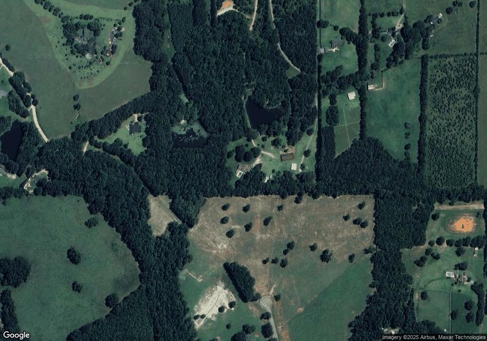
Map
Nearby Homes
- 2495 Barnesville Rd
- 111 Cynthia Cir
- 245 Kennelsman Dr
- 270 Kennelsman Dr
- 87 Hounds Way
- 460 McKneely Rd
- Flora Plan at Fox Crossing
- Cali Plan at Fox Crossing
- Galen Plan at Fox Crossing
- Aisle Plan at Fox Crossing
- Aria Plan at Fox Crossing
- 250 Kennelsman Dr
- 258 Kennelsman Dr
- 264 Kennelsman Dr
- 145 Hounds Way Unit LOT 94
- 171 Kennelsman Dr
- 269 Kennelsman Dr
- 261 Kennelsman Dr
- 271 Kennelsman Dr
- 111 Hatmaker Ct
- 1966 Swint Rd
- 1990 Swint Rd
- 175 Brown Rd
- 1198 Brown Rd
- 157 Brown Rd
- 0 Brown Rd Unit 8273869
- 0 Brown Rd Unit 8273807
- 0 Brown Rd Unit 6 7544823
- 0 Brown Rd Unit 5 7544814
- 0 Brown Rd Unit 7 7544829
- 0 Brown Rd Unit 4 7544806
- 0 Brown Rd Unit 3
- 0 Brown Rd Unit 8709026
- 0 Brown Rd Unit 3 7544644
- 0 Brown Rd Unit 9053566
- 0 Brown Rd Unit 8704326
- 0 Brown Rd Unit 8791687
- 0 Brown Rd Unit 3141456
- 0 Brown Rd Unit 7037275
- 0 Brown Rd Unit 7177345