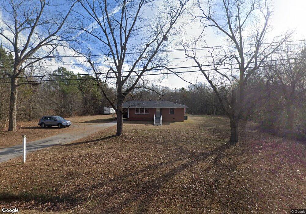
1891 Highway 11 NW Unit P-11 Monroe, GA 30656
Estimated Value: $250,413 - $276,000
--
Bed
1
Bath
1,057
Sq Ft
$247/Sq Ft
Est. Value
About This Home
This home is located at 1891 Highway 11 NW Unit P-11, Monroe, GA 30656 and is currently estimated at $261,103, approximately $247 per square foot. 1891 Highway 11 NW Unit P-11 is a home located in Walton County with nearby schools including Walker Park Elementary School, Carver Middle School, and Monroe Area High School.
Ownership History
Date
Name
Owned For
Owner Type
Purchase Details
Closed on
Oct 4, 2016
Bought by
Stringer Marlowe T
Current Estimated Value
Purchase Details
Closed on
Jun 23, 2003
Sold by
Coker Ivah Ree H
Bought by
Harvest Baptist Ch Of Walton Cnty
Home Financials for this Owner
Home Financials are based on the most recent Mortgage that was taken out on this home.
Original Mortgage
$60,000
Interest Rate
5.56%
Mortgage Type
New Conventional
Purchase Details
Closed on
Jun 2, 1989
Bought by
Coker Ivah Ree H
Create a Home Valuation Report for This Property
The Home Valuation Report is an in-depth analysis detailing your home's value as well as a comparison with similar homes in the area
Home Values in the Area
Average Home Value in this Area
Purchase History
| Date | Buyer | Sale Price | Title Company |
|---|---|---|---|
| Stringer Marlowe T | $95,000 | -- | |
| Harvest Baptist Ch Of Walton Cnty | $175,000 | -- | |
| Coker Ivah Ree H | -- | -- |
Source: Public Records
Mortgage History
| Date | Status | Borrower | Loan Amount |
|---|---|---|---|
| Previous Owner | Harvest Baptist Ch Of Walton Cnty | $60,000 |
Source: Public Records
Tax History Compared to Growth
Tax History
| Year | Tax Paid | Tax Assessment Tax Assessment Total Assessment is a certain percentage of the fair market value that is determined by local assessors to be the total taxable value of land and additions on the property. | Land | Improvement |
|---|---|---|---|---|
| 2024 | $2,069 | $70,200 | $38,320 | $31,880 |
| 2023 | $2,056 | $67,800 | $36,320 | $31,480 |
| 2022 | $1,921 | $60,760 | $32,520 | $28,240 |
| 2021 | $1,651 | $50,680 | $25,280 | $25,400 |
| 2020 | $1,572 | $47,040 | $21,920 | $25,120 |
| 2019 | $1,478 | $43,640 | $19,480 | $24,160 |
| 2018 | $1,459 | $43,640 | $19,480 | $24,160 |
| 2017 | $1,369 | $39,720 | $19,480 | $20,240 |
| 2016 | $1,057 | $31,120 | $13,880 | $17,240 |
| 2015 | $1,010 | $29,280 | $13,880 | $15,400 |
| 2014 | $950 | $26,840 | $0 | $0 |
Source: Public Records
Map
Nearby Homes
- 417 Phillips Dr NW
- 1040 Orchard Cir
- 2069 Highway 11 NW
- 1064 Emmas Path
- 1602 Annas Way
- 1482 Waverly Way
- 243 Doster Ave NW
- 261 Double Springs Rd SW
- 1404 Charleston Ave
- 1409 Hwy 11 N
- 1384 Brookhaven Dr NW
- 2103 Sourwood Ct
- 824 Park Lake Ct NW
- 1530 Highland Creek Dr
- 1621 Highland Creek Dr
- 1702 Highland Creek Dr
- 1891 Highway 11 NW
- 1891 Highway 11 NW
- 1891 State Highway 11 Unit P-11
- 1891 State Highway 11
- 1925 Highway 11 NW
- 1871 Highway 11 NW
- 1920 State Highway 11
- 1935 Highway 11 NW
- 1920 Highway 11 NW
- 1861 Highway 11 NW
- 1940 Highway 11 NW
- 1948 Highway 11 NW
- 1841 Highway 11 NW
- 1841 Highway 11 NW
- 1947 Highway 11
- 1947 Hwy 11 NW
- 1950 Highway 11 NW
- 1964 Highway 11 NW
- 1964 Highway 11 NW
- 1890 Clifford Ct NW