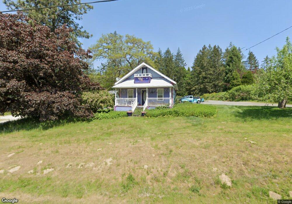
1892 Benson Rd Point Roberts, WA 98281
Estimated Value: $377,000 - $528,000
2
Beds
1
Bath
864
Sq Ft
$519/Sq Ft
Est. Value
About This Home
This home is located at 1892 Benson Rd, Point Roberts, WA 98281 and is currently estimated at $448,140, approximately $518 per square foot. 1892 Benson Rd is a home with nearby schools including Point Roberts Primary School, Blaine Middle School, and Blaine High School.
Ownership History
Date
Name
Owned For
Owner Type
Purchase Details
Closed on
Aug 24, 2022
Sold by
Dixon and Brent
Bought by
Magnusson Ogn Kimberley
Current Estimated Value
Home Financials for this Owner
Home Financials are based on the most recent Mortgage that was taken out on this home.
Original Mortgage
$587,700
Outstanding Balance
$553,759
Interest Rate
3.88%
Mortgage Type
New Conventional
Estimated Equity
-$105,619
Purchase Details
Closed on
Aug 9, 2022
Sold by
Brent Dixon
Bought by
Garcia Natalie Johnson and Macdonald Jamus Adrian
Home Financials for this Owner
Home Financials are based on the most recent Mortgage that was taken out on this home.
Original Mortgage
$587,700
Outstanding Balance
$553,759
Interest Rate
3.88%
Mortgage Type
New Conventional
Estimated Equity
-$105,619
Create a Home Valuation Report for This Property
The Home Valuation Report is an in-depth analysis detailing your home's value as well as a comparison with similar homes in the area
Home Values in the Area
Average Home Value in this Area
Purchase History
| Date | Buyer | Sale Price | Title Company |
|---|---|---|---|
| Magnusson Ogn Kimberley | -- | -- | |
| Dixon Heather | -- | -- | |
| Garcia Natalie Johnson | -- | Whatcom Land Title |
Source: Public Records
Mortgage History
| Date | Status | Borrower | Loan Amount |
|---|---|---|---|
| Open | Garcia Natalie Johnson | $587,700 |
Source: Public Records
Tax History Compared to Growth
Tax History
| Year | Tax Paid | Tax Assessment Tax Assessment Total Assessment is a certain percentage of the fair market value that is determined by local assessors to be the total taxable value of land and additions on the property. | Land | Improvement |
|---|---|---|---|---|
| 2024 | $703 | $351,092 | $223,650 | $127,442 |
| 2023 | $703 | $351,092 | $223,650 | $127,442 |
| 2022 | $757 | $329,664 | $210,000 | $88,909 |
| 2021 | $802 | $238,999 | $144,204 | $88,909 |
| 2020 | $829 | $238,999 | $144,204 | $94,795 |
| 2019 | $861 | $238,999 | $144,204 | $94,795 |
| 2018 | $2,580 | $224,159 | $135,250 | $88,909 |
| 2017 | $2,281 | $224,159 | $135,250 | $88,909 |
| 2016 | $2,286 | $224,159 | $135,250 | $88,909 |
| 2015 | $2,327 | $218,388 | $135,250 | $83,138 |
| 2014 | -- | $218,388 | $135,250 | $83,138 |
| 2013 | -- | $218,388 | $135,250 | $83,138 |
Source: Public Records
Map
Nearby Homes
- 2 Benson Rd
- 0 6 39 Acres South Beach Rd
- lot 14 Cedar Park Dr Unit 14
- Lot 2 Greenwood Dr
- 8 Heather Way
- 1976 Cedar Park Dr
- 1 Mill Rd
- 2 Mill Rd
- 1940 Apa Rd
- 1871 Johnson Rd
- 1911 Apa Rd
- 245 Shady Glen Ave
- 2138 Benson Rd
- 634 S Beach Rd
- 2045 Apa Rd
- 1927 Orcas View Way
- 661 Driftwood Ln
- 1934 Waters Rd
- 1931 Sanders Ct Unit 11
- 0 Lot 7 Weasel Run Rd
- 1890 Benson Rd
- 405 S Beach Rd
- 1885 Benson Rd
- 409 S Beach Rd
- 408 S Beach Rd
- 413 S Beach Rd
- 416 S Beach Rd
- 1881 Benson Rd
- 423 S Beach Rd
- 1871 Benson Rd
- 0 S Beach Rd
- 50 S Beach Rd
- 1884 Anderson Rd
- 1686 Benson Rd
- 1894 Anderson Rd
- 1878 Anderson Rd
- 1863 Benson Rd
- 4.85 Acres Benson Rd
- 0 Lot 7 Benson Rd
- 1872 Anderson Rd