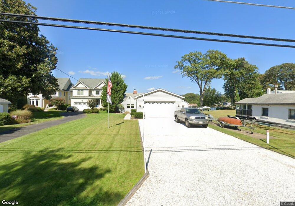
1892 Cedar Rd Pasadena, MD 21122
Jacobsville-Bayside Beach NeighborhoodEstimated Value: $633,000 - $777,000
Studio
1
Bath
1,104
Sq Ft
$649/Sq Ft
Est. Value
About This Home
This home is located at 1892 Cedar Rd, Pasadena, MD 21122 and is currently estimated at $716,936, approximately $649 per square foot. 1892 Cedar Rd is a home located in Anne Arundel County with nearby schools including Fort Smallwood Elementary School, Chesapeake Bay Middle School, and Chesapeake High School.
Ownership History
Date
Name
Owned For
Owner Type
Purchase Details
Closed on
Oct 12, 2005
Sold by
S M Brown Corp
Bought by
Dunn Michael P and Dunnington Kevin J
Current Estimated Value
Home Financials for this Owner
Home Financials are based on the most recent Mortgage that was taken out on this home.
Original Mortgage
$480,000
Outstanding Balance
$244,497
Interest Rate
5%
Mortgage Type
Adjustable Rate Mortgage/ARM
Estimated Equity
$472,439
Purchase Details
Closed on
Sep 30, 2005
Sold by
S M Brown Corp
Bought by
Dunn Michael P and Dunnington Kevin J
Home Financials for this Owner
Home Financials are based on the most recent Mortgage that was taken out on this home.
Original Mortgage
$480,000
Outstanding Balance
$244,497
Interest Rate
5%
Mortgage Type
Adjustable Rate Mortgage/ARM
Estimated Equity
$472,439
Create a Home Valuation Report for This Property
The Home Valuation Report is an in-depth analysis detailing your home's value as well as a comparison with similar homes in the area
Home Values in the Area
Average Home Value in this Area
Purchase History
| Date | Buyer | Sale Price | Title Company |
|---|---|---|---|
| Dunn Michael P | $600,000 | -- | |
| Dunn Michael P | $600,000 | -- |
Source: Public Records
Mortgage History
| Date | Status | Borrower | Loan Amount |
|---|---|---|---|
| Open | Dunn Michael P | $480,000 | |
| Closed | Dunn Michael P | $480,000 |
Source: Public Records
Tax History
| Year | Tax Paid | Tax Assessment Tax Assessment Total Assessment is a certain percentage of the fair market value that is determined by local assessors to be the total taxable value of land and additions on the property. | Land | Improvement |
|---|---|---|---|---|
| 2025 | $5,751 | $604,633 | -- | -- |
| 2024 | $5,751 | $529,200 | $368,600 | $160,600 |
| 2023 | $5,586 | $499,667 | $0 | $0 |
| 2022 | $5,210 | $470,133 | $0 | $0 |
| 2020 | $5,010 | $438,633 | $0 | $0 |
| 2019 | $4,932 | $436,667 | $0 | $0 |
| 2018 | $4,408 | $434,700 | $303,600 | $131,100 |
| 2017 | $4,640 | $421,400 | $0 | $0 |
| 2016 | -- | $408,100 | $0 | $0 |
| 2015 | -- | $394,800 | $0 | $0 |
| 2014 | -- | $394,800 | $0 | $0 |
Source: Public Records
Map
Nearby Homes
- 1930 Cedar Rd
- 8138 Forest Glen Dr
- 8108 Forest Glen Dr
- 7937 E Riverside Dr
- 1765 Poplar Ridge Rd
- 7905 E Riverside Dr
- 7715 Paradise Beach Rd
- 1585 Marco Dr
- 8057 Maywood Ave
- 8329 Sail Ct
- 8113 Ventnor Rd
- 2113 Lake Dr
- 0 Bush Ave
- LOT 1 Burgess Rd
- 2142 Lake Dr
- 7614 Paradise Beach Rd
- 7862 Bodkin View Dr
- 7801 Harle Rd
- 7806 Appletree Rd
- 7803 Linthicum Rd
Your Personal Tour Guide
Ask me questions while you tour the home.