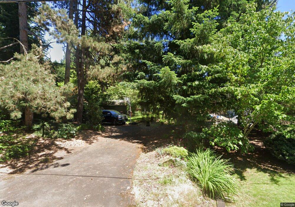
18920 Nixon Ave West Linn, OR 97068
Robinwood NeighborhoodEstimated Value: $967,000 - $1,384,000
3
Beds
2
Baths
2,158
Sq Ft
$538/Sq Ft
Est. Value
About This Home
This home is located at 18920 Nixon Ave, West Linn, OR 97068 and is currently estimated at $1,159,942, approximately $537 per square foot. 18920 Nixon Ave is a home located in Clackamas County with nearby schools including Cedaroak Park Primary School, West Linn High School, and Clackamas Academy of Industrial Sciences (CAIS).
Ownership History
Date
Name
Owned For
Owner Type
Purchase Details
Closed on
May 11, 1998
Sold by
Bernert William
Bought by
Bernert Michael J and Bernert Kathi R
Current Estimated Value
Home Financials for this Owner
Home Financials are based on the most recent Mortgage that was taken out on this home.
Original Mortgage
$101,726
Interest Rate
7.13%
Create a Home Valuation Report for This Property
The Home Valuation Report is an in-depth analysis detailing your home's value as well as a comparison with similar homes in the area
Home Values in the Area
Average Home Value in this Area
Purchase History
| Date | Buyer | Sale Price | Title Company |
|---|---|---|---|
| Bernert Michael J | -- | First American Title Ins Co |
Source: Public Records
Mortgage History
| Date | Status | Borrower | Loan Amount |
|---|---|---|---|
| Closed | Bernert Michael J | $101,726 |
Source: Public Records
Tax History Compared to Growth
Tax History
| Year | Tax Paid | Tax Assessment Tax Assessment Total Assessment is a certain percentage of the fair market value that is determined by local assessors to be the total taxable value of land and additions on the property. | Land | Improvement |
|---|---|---|---|---|
| 2025 | $11,258 | $584,197 | -- | -- |
| 2024 | $10,837 | $567,182 | -- | -- |
| 2023 | $10,837 | $550,663 | $0 | $0 |
| 2022 | $10,229 | $534,625 | $0 | $0 |
| 2021 | $9,710 | $519,054 | $0 | $0 |
| 2020 | $9,776 | $503,936 | $0 | $0 |
| 2019 | $9,322 | $489,259 | $0 | $0 |
| 2018 | $8,906 | $475,009 | $0 | $0 |
| 2017 | $8,561 | $461,174 | $0 | $0 |
| 2016 | $8,339 | $447,742 | $0 | $0 |
| 2015 | $7,971 | $434,701 | $0 | $0 |
| 2014 | $7,524 | $422,040 | $0 | $0 |
Source: Public Records
Map
Nearby Homes
- 19155 Nixon Ave
- 4610 Kenthorpe Way
- 4622 Mapleton Dr
- 3896 Cedaroak Dr
- 3893 Cedaroak Dr
- 3820 Kenthorpe Way
- 18236 SE Heather Faye Way
- 3910 Calaroga Cir
- 4024 SE Faith Ave
- 4400 Calaroga Dr
- 3777 Parkwood Way
- 4200 SE Hull Ave
- 19885 Willamette Dr
- 19623 White Cloud Cir
- 18711 Willamette Dr
- 3446 Fernvilla Dr
- 20070 Larkspur Ln Unit 61
- 18649 Old River Dr
- 20080 Larkspur Ln Unit 50
- 20120 Larkspur Ln Unit 85
- 18880 Nixon Ave
- 18950 Nixon Ave
- 18840 Nixon Ave
- 19010 Nixon Ave
- 18917 Nixon 1 3 Acre
- 18917 Nixon Ave
- 18780 Nixon Ave
- 18855 Nixon Ave
- 19030 Nixon Ave
- 18740 Nixon Ave
- 19025 Nixon Ave
- 18855 Nixonav
- 19005 Nixon Ave
- 18741 Nixon Ave
- 4310 Cedaroak Dr
- 19050 Nixon Ave
- 18735 Nixon Ave
- 19045 Nixon Ave
- 4300 Cedaroak Dr
- 4344 Cedaroak Dr