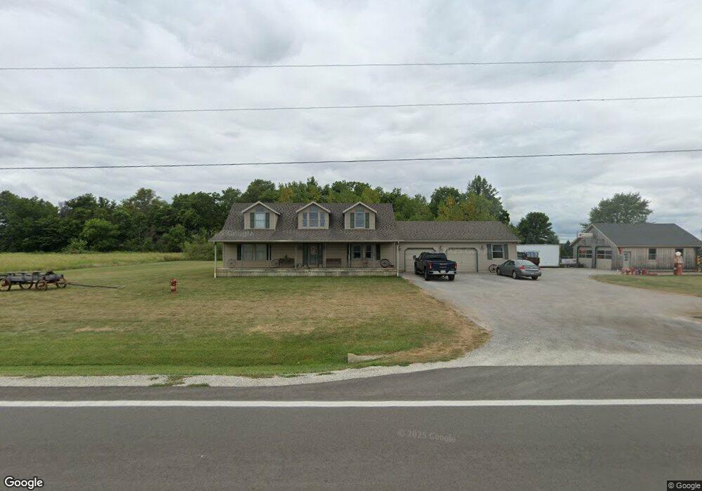
18922 Us Route 127 Rockford, OH 45882
Estimated Value: $146,000 - $322,000
--
Bed
--
Bath
1,350
Sq Ft
$192/Sq Ft
Est. Value
About This Home
This home is located at 18922 Us Route 127, Rockford, OH 45882 and is currently estimated at $259,187, approximately $191 per square foot. 18922 Us Route 127 is a home with nearby schools including Van Wert Early Childhood Center and Van Wert High School.
Ownership History
Date
Name
Owned For
Owner Type
Purchase Details
Closed on
Jun 19, 2010
Sold by
Peel Brett A and Peel Toby
Bought by
Peel Brett A
Current Estimated Value
Home Financials for this Owner
Home Financials are based on the most recent Mortgage that was taken out on this home.
Original Mortgage
$104,616
Interest Rate
5.05%
Mortgage Type
New Conventional
Create a Home Valuation Report for This Property
The Home Valuation Report is an in-depth analysis detailing your home's value as well as a comparison with similar homes in the area
Home Values in the Area
Average Home Value in this Area
Purchase History
| Date | Buyer | Sale Price | Title Company |
|---|---|---|---|
| Peel Brett A | -- | Attorney |
Source: Public Records
Mortgage History
| Date | Status | Borrower | Loan Amount |
|---|---|---|---|
| Closed | Peel Brett A | $104,616 |
Source: Public Records
Tax History Compared to Growth
Tax History
| Year | Tax Paid | Tax Assessment Tax Assessment Total Assessment is a certain percentage of the fair market value that is determined by local assessors to be the total taxable value of land and additions on the property. | Land | Improvement |
|---|---|---|---|---|
| 2024 | $2,715 | $81,750 | $7,830 | $73,920 |
| 2023 | $2,715 | $81,750 | $7,830 | $73,920 |
| 2022 | $2,133 | $55,710 | $6,760 | $48,950 |
| 2021 | $2,076 | $55,710 | $6,760 | $48,950 |
| 2020 | $2,069 | $55,710 | $6,760 | $48,950 |
| 2019 | $1,967 | $52,530 | $5,960 | $46,570 |
| 2018 | $1,958 | $52,530 | $5,960 | $46,570 |
| 2017 | $1,956 | $52,530 | $5,960 | $46,570 |
| 2016 | $1,869 | $51,240 | $5,710 | $45,530 |
| 2015 | $1,870 | $51,240 | $5,710 | $45,530 |
| 2014 | $1,850 | $51,240 | $5,710 | $45,530 |
| 2013 | $2,013 | $51,240 | $5,710 | $45,530 |
Source: Public Records
Map
Nearby Homes
- 5062 Mercer van Wert County Line Rd
- 12029 Dutton Rd
- 108 S Ball Rd
- 15845 Uus 127
- 7957 W Bridge St
- 208 Market St
- 208 W Pearl St
- 0 Rockford West Rd Unit Lots 14- 28
- 0 Drake St
- 8323 Deep Cut Rd
- 206 Glenn St
- 0 Wilson Unit 1037059
- 0 Wilson Unit 306333
- 9289 Wren Landeck Rd
- 12242 Dustman Rd
- 0 Stirn Rd Unit 308464
- 18906 Bebb St
- 11164 Erastus Durbin Rd
- 19059 Wittington St
- 19083 Venedocia Eastern Rd
- 18874 Us Route 127
- 12369 van Wert Mercer County Line Rd
- 12369 van Wert Mercer County Line Rd
- 12261 Mercer van Wert County Line Rd
- 5850 Mercer van Wert County Line Rd
- 5886 Mercer van Wert County Line Rd
- 5934 Mercer van Wert County Line Rd
- 0 Mercer van Wert County Line Rd
- 6150 Mercer van Wert County Line Rd
- 5480 Mercer van Wert County Line Rd
- 0 Section 35 Liberty Township Unit 304996
- 18718 Burk School Rd
- 5396 Mercer van Wert County Line Rd
- 5805 Ross Rd
- TBD Ross Rd
- 6091 Ross Rd
- 5567 Ross Rd
- 12148 State Route 81
- 12001 State Route 81