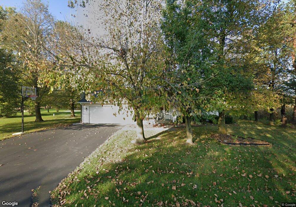
18923 Mudsock Rd Wapakoneta, OH 45895
Estimated Value: $111,185
3
Beds
1
Bath
1,212
Sq Ft
$92/Sq Ft
Est. Value
About This Home
This home is located at 18923 Mudsock Rd, Wapakoneta, OH 45895 and is currently estimated at $111,185, approximately $91 per square foot. 18923 Mudsock Rd is a home located in Auglaize County with nearby schools including Cridersville Elementary School, Wapakoneta High School, and Wapakoneta Middle School.
Ownership History
Date
Name
Owned For
Owner Type
Purchase Details
Closed on
Oct 11, 2019
Sold by
Patterson Marilyn Ruth and Patterson Robert Lee
Bought by
Burkholder Christopher W
Current Estimated Value
Purchase Details
Closed on
May 8, 2007
Sold by
Burkholder Christopher W and Burkholder Amanda L
Bought by
Patterson Robert L and Patterson Marilyn R
Purchase Details
Closed on
Dec 12, 2005
Sold by
Patterson Robert L and Patterson Marilyn R
Bought by
Burkholder Christopher W and Burkholder Amanda L
Purchase Details
Closed on
Feb 3, 2000
Sold by
Patterson Robert L
Bought by
Patterson Robert Lee
Create a Home Valuation Report for This Property
The Home Valuation Report is an in-depth analysis detailing your home's value as well as a comparison with similar homes in the area
Home Values in the Area
Average Home Value in this Area
Purchase History
| Date | Buyer | Sale Price | Title Company |
|---|---|---|---|
| Burkholder Christopher W | $75,000 | None Available | |
| Patterson Robert L | -- | Attorney | |
| Burkholder Christopher W | $375 | None Available | |
| Patterson Robert Lee | -- | -- |
Source: Public Records
Tax History Compared to Growth
Tax History
| Year | Tax Paid | Tax Assessment Tax Assessment Total Assessment is a certain percentage of the fair market value that is determined by local assessors to be the total taxable value of land and additions on the property. | Land | Improvement |
|---|---|---|---|---|
| 2024 | $3,185 | $89,270 | $42,030 | $47,240 |
| 2023 | $1,838 | $89,270 | $42,030 | $47,240 |
| 2022 | $1,161 | $59,290 | $28,700 | $30,590 |
| 2021 | $1,200 | $60,790 | $28,700 | $32,090 |
| 2020 | $1,200 | $60,792 | $28,704 | $32,088 |
| 2019 | $1,343 | $60,792 | $28,704 | $32,088 |
| 2018 | $1,348 | $60,792 | $28,704 | $32,088 |
| 2017 | $1,337 | $60,792 | $28,704 | $32,088 |
| 2016 | $1,387 | $53,932 | $24,465 | $29,467 |
| 2015 | $703 | $53,932 | $24,465 | $29,467 |
| 2014 | $1,378 | $53,932 | $24,465 | $29,467 |
| 2013 | $588 | $48,077 | $18,610 | $29,467 |
Source: Public Records
Map
Nearby Homes
- 212 S Oak St
- 17946 National Rd
- 1805 Huntington Dr
- 1835 Huntington Dr
- 301 North Place
- 5116 S Dixie Hwy
- 306 Shawnee Rd
- 0 Ohio 67
- 37 N Main St
- 5116 Spencer Dr
- 80 Main St
- 17 E Walnut St
- 17092 Hauss Rd
- 1030 Hume Rd E
- 4563 Shawnee Rd
- 4249 S Dixie Hwy
- 1679 Frail Rd
- 21015 Fairmount Rd
- 20630 State Route 67
- 846 Hastings (Lot 36) Ave
- 18928 Mudsock Rd
- 18934 Mudsock Rd
- 18981 Mudsock Rd
- 18887 Mudsock Rd
- 18860 Mudsock Rd
- 18976 Mudsock Rd
- 18990 Mudsock Rd
- 0 Mudsock Rd
- 17318 Buckland Holden Rd
- XX Mudsock Rd
- 17295 Buckland Holden Rd
- 17340 Buckland Holden Rd
- 19039 Mudsock Rd
- 18806 Mudsock Rd
- 17100 Buckland Holden Rd
- 17131 Buckland Holden Rd
- 19038 Mudsock Rd