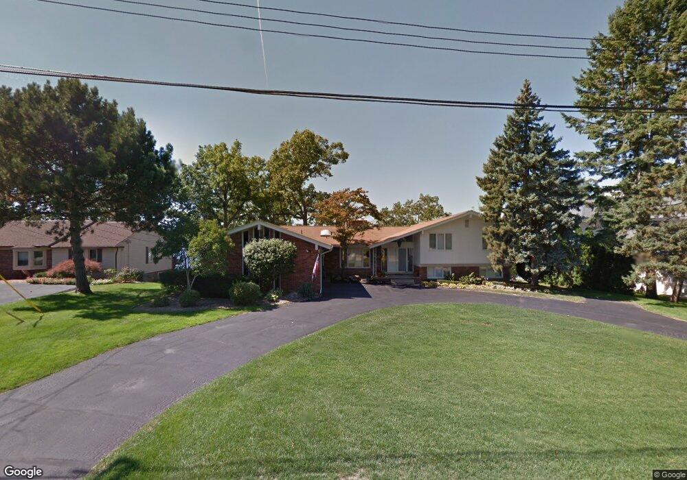
1893 Long Pointe Dr Bloomfield Hills, MI 48302
Estimated Value: $1,071,000 - $1,316,000
4
Beds
4
Baths
3,323
Sq Ft
$351/Sq Ft
Est. Value
About This Home
This home is located at 1893 Long Pointe Dr, Bloomfield Hills, MI 48302 and is currently estimated at $1,167,953, approximately $351 per square foot. 1893 Long Pointe Dr is a home located in Oakland County with nearby schools including Walt Whitman Elementary School, Pontiac Middle School, and Pontiac High School.
Ownership History
Date
Name
Owned For
Owner Type
Purchase Details
Closed on
Sep 1, 2009
Sold by
Shaya Robert A
Bought by
Shaya Robert A and Lowe Ashley E
Current Estimated Value
Purchase Details
Closed on
Aug 26, 1997
Sold by
Caspers Werner
Bought by
Shaya Robert A
Home Financials for this Owner
Home Financials are based on the most recent Mortgage that was taken out on this home.
Original Mortgage
$450,000
Outstanding Balance
$70,168
Interest Rate
7.54%
Estimated Equity
$1,097,785
Create a Home Valuation Report for This Property
The Home Valuation Report is an in-depth analysis detailing your home's value as well as a comparison with similar homes in the area
Home Values in the Area
Average Home Value in this Area
Purchase History
| Date | Buyer | Sale Price | Title Company |
|---|---|---|---|
| Shaya Robert A | -- | None Available | |
| Shaya Robert A | $610,000 | -- |
Source: Public Records
Mortgage History
| Date | Status | Borrower | Loan Amount |
|---|---|---|---|
| Open | Shaya Robert A | $450,000 |
Source: Public Records
Tax History Compared to Growth
Tax History
| Year | Tax Paid | Tax Assessment Tax Assessment Total Assessment is a certain percentage of the fair market value that is determined by local assessors to be the total taxable value of land and additions on the property. | Land | Improvement |
|---|---|---|---|---|
| 2024 | $6,473 | $555,110 | $0 | $0 |
| 2023 | $6,176 | $516,840 | $0 | $0 |
| 2022 | $10,519 | $501,000 | $0 | $0 |
| 2021 | $10,276 | $488,920 | $0 | $0 |
| 2020 | $5,672 | $477,550 | $0 | $0 |
| 2019 | $10,072 | $462,170 | $0 | $0 |
| 2018 | $9,893 | $444,020 | $0 | $0 |
| 2017 | $9,749 | $430,490 | $0 | $0 |
| 2016 | $9,745 | $405,890 | $0 | $0 |
| 2015 | -- | $327,790 | $0 | $0 |
| 2014 | -- | $257,440 | $0 | $0 |
| 2011 | -- | $271,770 | $0 | $0 |
Source: Public Records
Map
Nearby Homes
- 1831 Long Pointe Dr
- 2779 Turtle Lake Dr
- 2121 Uplong St
- 2759 Turtle Ridge Dr
- 2785 Turtle Lake Dr
- 1772 Heron Ridge Dr
- 1744 Heron Ridge Dr
- 2707 Turtle Lake Dr
- 2954 Long Ridge Ct
- 2756 Turtle Bluff Dr
- 1735 Heron Ridge Dr
- 1853 W Bend Dr
- 2300 Pine Lake Rd
- 2665 Middlebelt Rd
- 1729 Heron Ridge Dr
- 1723 Heron Ridge Dr
- 2360 Pineview
- 3668 Bayou Dr
- 2372 Pine Lake Rd
- 1887 Harvest Ln
- 1885 Long Pointe Dr
- 1905 Long Pointe Dr
- 1913 Long Pointe Dr
- 1855 Long Pointe Dr
- 1859 Long Pointe Dr
- 1904 Long Pointe Dr
- 1849 Long Pointe Dr
- 1875 Long Pointe Dr
- 1921 Long Pointe Dr
- 1910 Long Pointe Dr
- 1863 Long Pointe Dr
- 1843 Long Pointe Dr
- 1929 Long Pointe Dr
- 1871 Long Pointe Dr
- 1867 Long Pointe Dr
- 1916 Long Pointe Dr
- 1840 Long Pointe Dr
- 1837 Long Pointe Dr
- 1924 Long Pointe Dr
- 2680 Mcclintock Rd