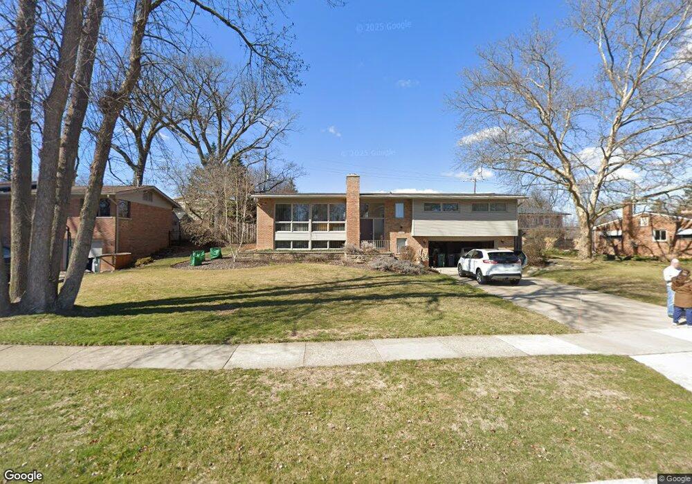
1893 Vinsetta Blvd Royal Oak, MI 48073
Estimated Value: $652,809 - $771,000
4
Beds
2
Baths
2,897
Sq Ft
$238/Sq Ft
Est. Value
About This Home
This home is located at 1893 Vinsetta Blvd, Royal Oak, MI 48073 and is currently estimated at $688,952, approximately $237 per square foot. 1893 Vinsetta Blvd is a home located in Oakland County with nearby schools including Northwood Elementary School, Royal Oak Middle School, and Royal Oak High School.
Ownership History
Date
Name
Owned For
Owner Type
Purchase Details
Closed on
Jul 17, 2020
Sold by
Semivan Brian J and Semivan Jennifer L
Bought by
Semivan Brian J and Semivan Jennifer L
Current Estimated Value
Purchase Details
Closed on
Feb 27, 2001
Sold by
Lewis Thomas E
Bought by
Semivan Brian J
Home Financials for this Owner
Home Financials are based on the most recent Mortgage that was taken out on this home.
Original Mortgage
$229,500
Outstanding Balance
$84,255
Interest Rate
7.13%
Estimated Equity
$604,697
Purchase Details
Closed on
May 20, 1996
Sold by
Sweet Don E
Bought by
Lewis Thomas E
Create a Home Valuation Report for This Property
The Home Valuation Report is an in-depth analysis detailing your home's value as well as a comparison with similar homes in the area
Home Values in the Area
Average Home Value in this Area
Purchase History
| Date | Buyer | Sale Price | Title Company |
|---|---|---|---|
| Semivan Brian J | -- | None Available | |
| Semivan Brian J | $359,000 | -- | |
| Lewis Thomas E | $225,000 | -- |
Source: Public Records
Mortgage History
| Date | Status | Borrower | Loan Amount |
|---|---|---|---|
| Open | Semivan Brian J | $229,500 |
Source: Public Records
Tax History Compared to Growth
Tax History
| Year | Tax Paid | Tax Assessment Tax Assessment Total Assessment is a certain percentage of the fair market value that is determined by local assessors to be the total taxable value of land and additions on the property. | Land | Improvement |
|---|---|---|---|---|
| 2024 | $5,801 | $244,480 | $0 | $0 |
| 2022 | $6,854 | $213,510 | $0 | $0 |
| 2020 | $5,637 | $196,160 | $0 | $0 |
| 2018 | $6,854 | $170,030 | $0 | $0 |
| 2017 | $6,587 | $170,030 | $0 | $0 |
| 2015 | -- | $175,850 | $0 | $0 |
| 2014 | -- | $170,950 | $0 | $0 |
| 2011 | -- | $152,530 | $0 | $0 |
Source: Public Records
Map
Nearby Homes
- 2015 Alicia Ln
- 1721 Forestdale Ct
- 1211 Smith Ave
- 719 W 12 Mile Rd
- 1630 W 12 Mile Rd
- 1319 Woodsboro Dr
- 629 W Houstonia Ave
- 1718 W 12 Mile Rd
- 817 Magnolia Ave
- 1808 W 12 Mile Rd
- 1828 W 12 Mile Rd
- 2438 Evergreen Dr
- 2422 Oliver Rd
- 508 W Houstonia Ave
- 2115 Marywood Dr
- 1915 Northwood Blvd
- 1103 Fernwood Rd
- 1828 N Lafayette Ave
- 1833 N Washington Ave
- 1821 N Washington Ave
- 1883 Vinsetta Blvd
- 1915 Vinsetta Blvd
- 1217 W Houstonia Ave
- 1211 W Houstonia Ave
- 1919 Laurome Dr
- 1205 W Houstonia Ave
- 1873 Vinsetta Blvd
- 1227 W Houstonia Ave
- 1829 Vinsetta Blvd
- 1337 W Houstonia Ave
- 1925 Vinsetta Blvd
- 1878 Vinsetta Blvd
- 1870 Vinsetta Blvd
- 1920 Laurome Dr
- 1863 Vinsetta Blvd
- 2019 Laurome Dr
- 1214 W Houstonia Ave
- 1884 Vinsetta Blvd
- 1224 W Houstonia Ave
- 1341 W Houstonia Ave