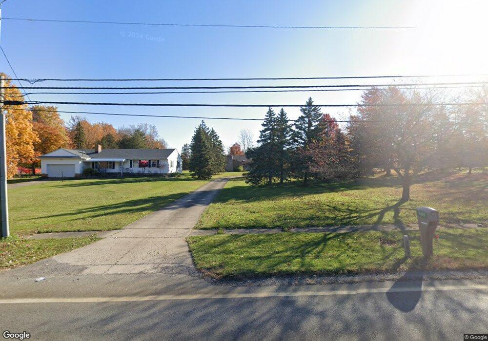
18935 Howe Rd Strongsville, OH 44136
Estimated Value: $366,239 - $418,000
3
Beds
2
Baths
2,312
Sq Ft
$168/Sq Ft
Est. Value
About This Home
This home is located at 18935 Howe Rd, Strongsville, OH 44136 and is currently estimated at $387,310, approximately $167 per square foot. 18935 Howe Rd is a home located in Cuyahoga County with nearby schools including Strongsville High School.
Ownership History
Date
Name
Owned For
Owner Type
Purchase Details
Closed on
Sep 28, 2021
Sold by
Pochaukas Leslie A
Bought by
Shepard Daniel A
Current Estimated Value
Home Financials for this Owner
Home Financials are based on the most recent Mortgage that was taken out on this home.
Original Mortgage
$255,290
Outstanding Balance
$232,801
Interest Rate
2.8%
Mortgage Type
FHA
Estimated Equity
$154,509
Create a Home Valuation Report for This Property
The Home Valuation Report is an in-depth analysis detailing your home's value as well as a comparison with similar homes in the area
Home Values in the Area
Average Home Value in this Area
Purchase History
| Date | Buyer | Sale Price | Title Company |
|---|---|---|---|
| Shepard Daniel A | $260,000 | Chicago Title Insurance C |
Source: Public Records
Mortgage History
| Date | Status | Borrower | Loan Amount |
|---|---|---|---|
| Open | Shepard Daniel A | $255,290 |
Source: Public Records
Tax History Compared to Growth
Tax History
| Year | Tax Paid | Tax Assessment Tax Assessment Total Assessment is a certain percentage of the fair market value that is determined by local assessors to be the total taxable value of land and additions on the property. | Land | Improvement |
|---|---|---|---|---|
| 2024 | $5,500 | $114,415 | $22,890 | $91,525 |
| 2023 | $5,501 | $86,000 | $18,410 | $67,590 |
| 2022 | $5,462 | $86,000 | $18,410 | $67,590 |
| 2021 | $5,424 | $86,000 | $18,410 | $67,590 |
| 2020 | $5,025 | $70,490 | $15,090 | $55,410 |
| 2019 | $4,881 | $201,400 | $43,100 | $158,300 |
| 2018 | $4,284 | $70,490 | $15,090 | $55,410 |
| 2017 | $4,204 | $63,320 | $13,620 | $49,700 |
| 2016 | $4,170 | $63,320 | $13,620 | $49,700 |
| 2015 | $4,229 | $63,320 | $13,620 | $49,700 |
| 2014 | $4,229 | $63,320 | $13,620 | $49,700 |
Source: Public Records
Map
Nearby Homes
- 15772 Boston Rd
- 19694 Benbow Rd
- 18229 Howe Rd
- 15604-REAR Boston Rd
- 16711 Beech Cir
- 19740 Benbow Rd
- 14985 Camden Cir
- 15188 Trails Landing
- 17130 Golden Star Dr
- 18987 Laurell Cir
- 16486 S Red Rock Dr
- 97 Weathervane Ln
- 19813 Cross Trail S
- 3137 Blackburn Ln
- 17745 Brick Mill Run
- 19364 Ridgeline Ct
- 17159 Turkey Meadow Ln
- 14558 Drake Rd
- 14132 Walking Stick Way
- 17682 Drake Rd
- 18983 Howe Rd
- 18893 Howe Rd
- 19029 Howe Rd
- 18847 Howe Rd
- 18805 Howe Rd
- 19113 Howe Rd
- 16011 Falmouth Dr
- 18763 Howe Rd
- 19066 Howe Rd
- 16028 Falmouth Dr
- 16045 Falmouth Dr
- 19157 Howe Rd
- 18719 Howe Rd
- 19074 Howe Rd
- 000 Howe Sl Rd
- 16062 Falmouth Dr
- 16025 Acacia Dr
- 16079 Falmouth Dr
- 19203 Howe Rd
- 16096 Falmouth Dr