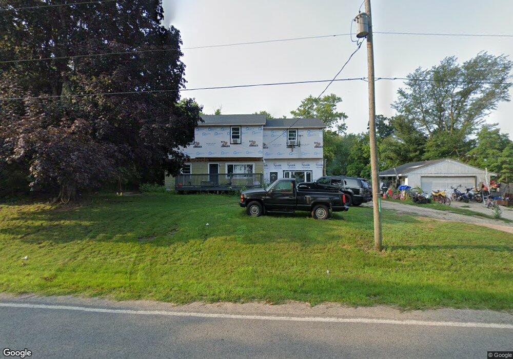
1894 Browntown Rd Buchanan, MI 49107
Estimated Value: $230,000 - $240,000
4
Beds
1
Bath
1,684
Sq Ft
$139/Sq Ft
Est. Value
About This Home
This home is located at 1894 Browntown Rd, Buchanan, MI 49107 and is currently estimated at $234,062, approximately $138 per square foot. 1894 Browntown Rd is a home located in Berrien County with nearby schools including River Valley Middle/High School and Lutie High School.
Ownership History
Date
Name
Owned For
Owner Type
Purchase Details
Closed on
Feb 26, 2016
Sold by
Backus Dustin M
Bought by
Backus Dustin M and Mckamey Sandra L
Current Estimated Value
Purchase Details
Closed on
Mar 7, 2002
Purchase Details
Closed on
Mar 15, 1993
Purchase Details
Closed on
Nov 11, 1989
Purchase Details
Closed on
Apr 30, 1984
Purchase Details
Closed on
Aug 21, 1979
Purchase Details
Closed on
Feb 16, 1979
Create a Home Valuation Report for This Property
The Home Valuation Report is an in-depth analysis detailing your home's value as well as a comparison with similar homes in the area
Home Values in the Area
Average Home Value in this Area
Purchase History
| Date | Buyer | Sale Price | Title Company |
|---|---|---|---|
| Backus Dustin M | -- | None Available | |
| -- | $115,500 | -- | |
| -- | $66,000 | -- | |
| -- | $60,000 | -- | |
| -- | $46,500 | -- | |
| -- | $45,000 | -- | |
| -- | $100 | -- |
Source: Public Records
Tax History Compared to Growth
Tax History
| Year | Tax Paid | Tax Assessment Tax Assessment Total Assessment is a certain percentage of the fair market value that is determined by local assessors to be the total taxable value of land and additions on the property. | Land | Improvement |
|---|---|---|---|---|
| 2025 | $1,417 | $98,500 | $0 | $0 |
| 2024 | $724 | $91,800 | $0 | $0 |
| 2023 | $689 | $79,700 | $0 | $0 |
| 2022 | $543 | $54,100 | $0 | $0 |
| 2021 | $997 | $48,800 | $6,200 | $42,600 |
| 2020 | $977 | $50,400 | $0 | $0 |
| 2019 | $951 | $52,000 | $6,800 | $45,200 |
| 2018 | $940 | $52,000 | $0 | $0 |
| 2017 | $930 | $49,700 | $0 | $0 |
| 2016 | $875 | $49,800 | $0 | $0 |
| 2015 | $872 | $54,400 | $0 | $0 |
| 2014 | $474 | $47,400 | $0 | $0 |
Source: Public Records
Map
Nearby Homes
- 11760 Landon Rd
- 2362 Browntown Rd
- 0 W Wagner Rd Unit 25057363
- 438 E Snow Rd
- 10671 California
- 0 Gast Rd Unit 24006127
- 9992 Gast Rd
- 3990 Sugarsand Ln
- 3995 Sugarsand Ln
- 4019 Sugarsand Ln
- 4043 Sugarsand Ln
- 4509 Hanover Rd
- 10617 Baldwin Rd
- 9050 5th St
- 9038 Hills Rd
- 10109 Lauer Rd
- 1993 Lemon Creek Rd
- 620 W Warren Woods Rd
- Elements 2100 Plan at Lake Haven - Elements
- Integrity 2060 Plan at Lake Haven
- 2018 Browntown Rd
- 2018 Browntown Rd
- 12028 Landon Rd
- 2159 Browntown Rd
- 11893 Landon Rd
- 11853 Landon Rd
- 2213 Browntown Rd
- 11839 Landon Rd
- 11817 Landon Rd
- 11841 Cleveland Ave
- 11841 Cleveland Ave
- 11840 Landon Rd
- 11797 Landon Rd
- 11814 Landon Rd
- 2293 Browntown Rd
- 11775 Landon Rd
- 12504 Cleveland Ave
- 12499 Cleveland Ave
- 12534 Cleveland Ave
- 12521 Cleveland Ave