Estimated Value: $141,403 - $153,000
3
Beds
1
Bath
900
Sq Ft
$165/Sq Ft
Est. Value
About This Home
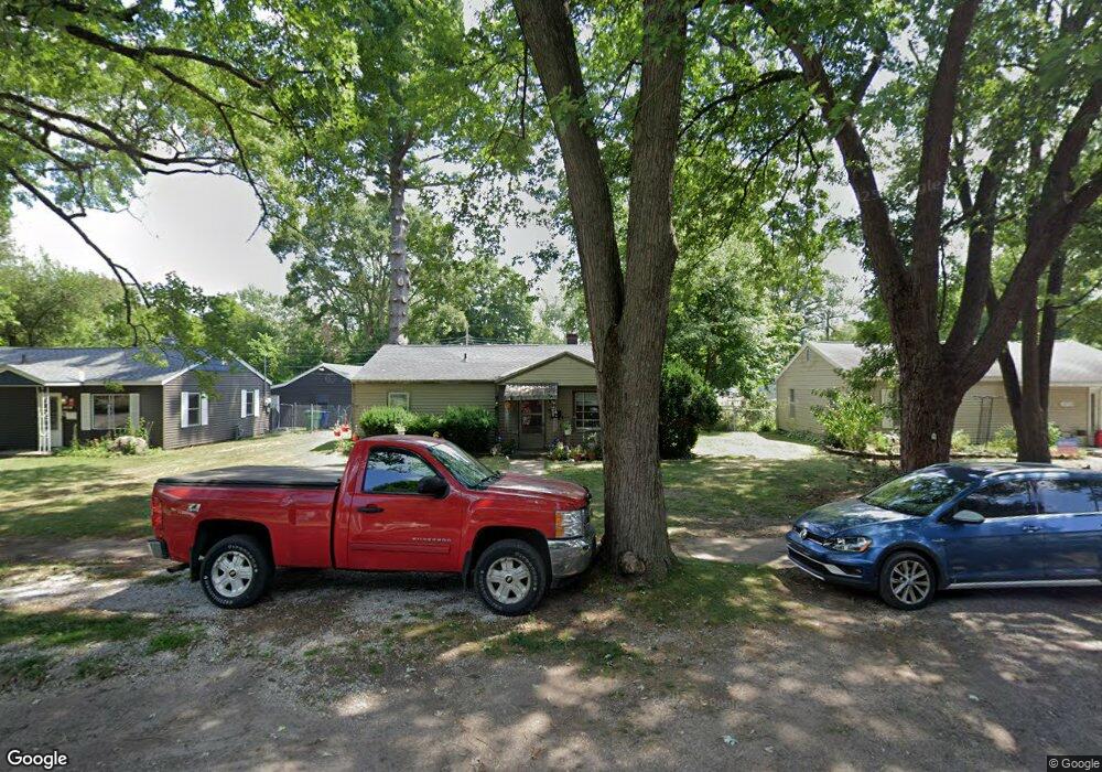
This home is located at 1894 Lewis Dr, Niles, MI 49120 and is currently estimated at $148,101, approximately $164 per square foot. 1894 Lewis Dr is a home located in Berrien County with nearby schools including James Ellis School, Howard-Ellis Elementary School, and Oak Manor Sixth Grade Center.
Ownership History
Date
Name
Owned For
Owner Type
Purchase Details
Closed on
Mar 20, 2014
Sold by
Skene John Mark and Skene Susan L
Bought by
Skene John Mark and Skene Susan L
Current Estimated Value
Purchase Details
Closed on
Jun 6, 2003
Sold by
Skene J Mark and Skene Susan L
Bought by
Skene John M and Skene Susan L
Home Financials for this Owner
Home Financials are based on the most recent Mortgage that was taken out on this home.
Original Mortgage
$61,000
Interest Rate
5.36%
Mortgage Type
Purchase Money Mortgage
Purchase Details
Closed on
Feb 17, 1995
Purchase Details
Closed on
Mar 25, 1992
Create a Home Valuation Report for This Property
The Home Valuation Report is an in-depth analysis detailing your home's value as well as a comparison with similar homes in the area
Home Values in the Area
Average Home Value in this Area
Purchase History
| Date | Buyer | Sale Price | Title Company |
|---|---|---|---|
| Skene John Mark | -- | None Available | |
| Skene John M | -- | Meridian Title Corp | |
| -- | $38,000 | -- | |
| -- | -- | -- |
Source: Public Records
Mortgage History
| Date | Status | Borrower | Loan Amount |
|---|---|---|---|
| Closed | Skene John M | $61,000 |
Source: Public Records
Tax History Compared to Growth
Tax History
| Year | Tax Paid | Tax Assessment Tax Assessment Total Assessment is a certain percentage of the fair market value that is determined by local assessors to be the total taxable value of land and additions on the property. | Land | Improvement |
|---|---|---|---|---|
| 2025 | $1,483 | $56,400 | $0 | $0 |
| 2024 | $330 | $50,200 | $0 | $0 |
| 2023 | $314 | $43,500 | $0 | $0 |
| 2022 | $299 | $40,000 | $0 | $0 |
| 2021 | $1,261 | $35,800 | $6,000 | $29,800 |
| 2020 | $1,241 | $33,700 | $0 | $0 |
| 2019 | $1,221 | $30,300 | $6,000 | $24,300 |
| 2018 | $1,165 | $30,300 | $0 | $0 |
| 2017 | $1,159 | $28,800 | $0 | $0 |
| 2016 | $1,137 | $27,900 | $0 | $0 |
| 2015 | $1,160 | $28,300 | $0 | $0 |
| 2014 | $261 | $27,400 | $0 | $0 |
Source: Public Records
Map
Nearby Homes
- 1638 Superior St
- 1522 Cherry St
- 1639 Oak St
- 1526 Inner Dr
- 1723 Broadway St
- V/L Kathryn St Unit Tract 3
- 1710 Cedar St
- 21 S 15th St
- 1642 Cedar St
- 0 Kathryn St Unit Tract 1
- 1407 Hickory St
- 1408 Silverbrook Ave
- 1648 Oak St
- 1121 Broadway St
- 1352 Marion St
- 1610 Eagle St
- 1008 Oak St
- VL Huron St
- 1314 Ferry St
- 921 Cedar St