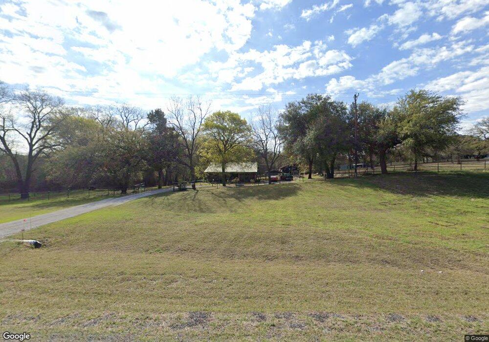
1894 N Fm 51 Decatur, TX 76234
Estimated Value: $287,000 - $313,000
--
Bed
--
Bath
1,152
Sq Ft
$259/Sq Ft
Est. Value
About This Home
This home is located at 1894 N Fm 51, Decatur, TX 76234 and is currently estimated at $298,667, approximately $259 per square foot. 1894 N Fm 51 is a home with nearby schools including Decatur High School and Victory Christian Academy.
Ownership History
Date
Name
Owned For
Owner Type
Purchase Details
Closed on
Oct 2, 2024
Sold by
Jackson Chris E
Bought by
Jackson Kathy A and Dickey Kathy Ann
Current Estimated Value
Home Financials for this Owner
Home Financials are based on the most recent Mortgage that was taken out on this home.
Original Mortgage
$97,500
Outstanding Balance
$96,475
Interest Rate
6.35%
Mortgage Type
Seller Take Back
Estimated Equity
$202,192
Purchase Details
Closed on
Sep 13, 2017
Sold by
Fellers Ruth Jewel and Fellers Ruth Jewel
Bought by
Jackson Chris E and Jackson Kathy A
Home Financials for this Owner
Home Financials are based on the most recent Mortgage that was taken out on this home.
Original Mortgage
$72,388
Interest Rate
3.93%
Mortgage Type
Commercial
Create a Home Valuation Report for This Property
The Home Valuation Report is an in-depth analysis detailing your home's value as well as a comparison with similar homes in the area
Home Values in the Area
Average Home Value in this Area
Purchase History
| Date | Buyer | Sale Price | Title Company |
|---|---|---|---|
| Jackson Kathy A | -- | Capital Title | |
| Jackson Chris E | -- | None Available |
Source: Public Records
Mortgage History
| Date | Status | Borrower | Loan Amount |
|---|---|---|---|
| Open | Jackson Kathy A | $97,500 | |
| Previous Owner | Jackson Chris E | $72,388 |
Source: Public Records
Tax History Compared to Growth
Tax History
| Year | Tax Paid | Tax Assessment Tax Assessment Total Assessment is a certain percentage of the fair market value that is determined by local assessors to be the total taxable value of land and additions on the property. | Land | Improvement |
|---|---|---|---|---|
| 2025 | $427 | $234,059 | -- | -- |
| 2024 | $427 | $212,781 | $0 | $0 |
| 2023 | $2,337 | $193,437 | $0 | $0 |
| 2022 | $2,698 | $175,852 | $0 | $0 |
| 2021 | $2,563 | $159,870 | $54,160 | $105,710 |
| 2020 | $2,432 | $150,730 | $51,070 | $99,660 |
| 2019 | $2,482 | $144,430 | $47,980 | $96,450 |
| 2018 | $2,360 | $132,980 | $41,800 | $91,180 |
Source: Public Records
Map
Nearby Homes
- TBD E Hwy 380 Hwy
- Lot 12 Cedar Springs Estates
- 2811 N Trinity St
- 307 E Vernon St
- 114 Sondra Lin Blvd
- 362 Decatur Cemetery Rd
- 3092 N Trinity St
- 903 N Miller St
- 602 N Cates St
- 802 N Church St
- 700 N Church St
- 101 E Mulberry St
- 506 E Main St
- TBD Farm To Market 51
- 304 Cyndilu Ln
- 1952 Old Decatur Rd
- 114 Cemetery Rd
- 305 E Shoemaker St
- 1 S Martin Extension
- 407 N Lane St
- 1846 N Fm 51
- 1846 N Fm 51
- 281 Private Road 2223
- 0 S Fm 51 Unit 20392889
- 0 S Fm 51 Unit 11203506
- 300 Pr 2223
- 281 Pr 2223
- 1891 N Fm 51
- Lot 1 Pr 2218
- 303 Private Road 2223
- 1893 N Fm 51
- 1960 N Fm 51
- 210 Private Road 2223
- 1903 N Fm 51
- 249 Pr-2218
- 260 Private Road 2219
- 1923 N Fm 51
- Lot 2 Pr 2218
- 604 Greenwood Rd
- 608 Greenwood Rd