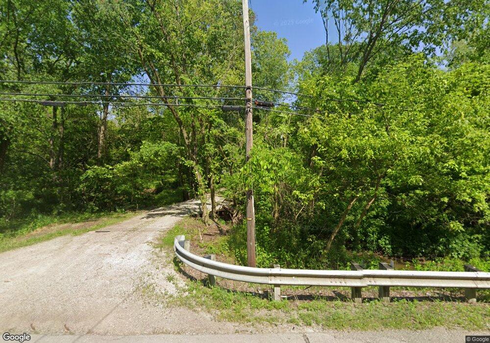
1894 State Route 18 Unit A Wakeman, OH 44889
Estimated Value: $139,043 - $221,000
2
Beds
2
Baths
--
Sq Ft
1
Acres
About This Home
This home is located at 1894 State Route 18 Unit A, Wakeman, OH 44889 and is currently estimated at $199,511. 1894 State Route 18 Unit A is a home located in Huron County with nearby schools including New London Elementary School, New London Middle School, and New London High School.
Ownership History
Date
Name
Owned For
Owner Type
Purchase Details
Closed on
May 1, 2017
Sold by
Burkholder Neil E and Burkholder Colleen B
Bought by
Tusha Rentals Llc
Current Estimated Value
Home Financials for this Owner
Home Financials are based on the most recent Mortgage that was taken out on this home.
Original Mortgage
$145,000
Outstanding Balance
$99,136
Interest Rate
4.3%
Mortgage Type
Commercial
Estimated Equity
$100,375
Purchase Details
Closed on
Jun 26, 2012
Bought by
Burkho Neil E and Burkho Collen B
Purchase Details
Closed on
Jun 7, 1983
Bought by
Marietta Charles F and Marietta Mae
Create a Home Valuation Report for This Property
The Home Valuation Report is an in-depth analysis detailing your home's value as well as a comparison with similar homes in the area
Home Values in the Area
Average Home Value in this Area
Purchase History
| Date | Buyer | Sale Price | Title Company |
|---|---|---|---|
| Tusha Rentals Llc | $155,000 | First American Title | |
| Burkho Neil E | $130,000 | -- | |
| Marietta Charles F | $40,000 | -- |
Source: Public Records
Mortgage History
| Date | Status | Borrower | Loan Amount |
|---|---|---|---|
| Open | Tusha Rentals Llc | $145,000 |
Source: Public Records
Tax History Compared to Growth
Tax History
| Year | Tax Paid | Tax Assessment Tax Assessment Total Assessment is a certain percentage of the fair market value that is determined by local assessors to be the total taxable value of land and additions on the property. | Land | Improvement |
|---|---|---|---|---|
| 2024 | $966 | $28,080 | $7,890 | $20,190 |
| 2023 | $966 | $23,350 | $6,690 | $16,660 |
| 2022 | $778 | $23,350 | $6,690 | $16,660 |
| 2021 | $778 | $23,350 | $6,690 | $16,660 |
| 2020 | $866 | $23,770 | $6,650 | $17,120 |
| 2019 | $862 | $23,770 | $6,650 | $17,120 |
| 2018 | $845 | $23,770 | $6,650 | $17,120 |
| 2017 | $933 | $27,530 | $6,630 | $20,900 |
| 2016 | $918 | $27,530 | $6,630 | $20,900 |
| 2015 | $917 | $27,530 | $6,630 | $20,900 |
| 2014 | $896 | $26,430 | $6,650 | $19,780 |
| 2013 | $887 | $26,430 | $6,650 | $19,780 |
Source: Public Records
Map
Nearby Homes
- 1910 Wenz Rd
- 1491 Vesta Rd
- 1501 Fitchville River Rd
- 1195 Fitchville River Rd
- 1201 Monroe Rd
- 2860 Derussey Rd
- 5951 Ohio 303
- 20011 Gore Orphanage Rd
- 34 Cherdon Cir
- 6175 U S 20
- 42 Stony Brook Ln
- 52273 Betts Rd
- 22 E Main St
- 52025 Betts Rd
- 27 Deer Run Dr
- 5 Foxwood Cir
- 22 Foxwood Cir
- 5810 U S 20 Unit 47
- 5810 U S 20 Unit 3
- 5810 U S 20 Unit 72
- 1894 State Route 18
- 1900 State Route 18
- 4941 Clarksfield Ct
- 4921 Clarksfield Ct
- 1834 State Route 18
- 1834 State Route 18
- 4934 Clarksfield Ct
- 4909 Clarksfield Ct
- 4922 Clarksfield Ct
- 4888 Clarksfield Ct
- 1945 Ohio 18
- 1916 State Route 18
- 1763 State Route 60
- 1997 Ohio 18
- 1997 State Route 18
- 2020 State Route 18
- 1776 Ohio 60
- 1776 State Route 60
- 2020 State Route 18
- 2017 Harrison St
